Max Patch Short Loop
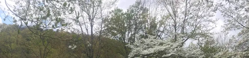
 Photo: Marit & Toomas Hinnosaar, CC BY 2.0 (via Flickr)
- 1.9 mi
- round trip
- 545 ft
- climb
- 4,557 ft
- high point
- Out and back
- route
Is Max Patch Short Loop open right now?
Closure in the area
There's a closure order in National Forests in North Carolina. It doesn't name Max Patch Short Loop, so check the source for the area it covers (3 listed).
Maple Sally Road Closure
Agency closure covering National Forests in North Carolina · USFS · National Forests in North Carolina
Table Rock Road construction starts Nov. 2, 2026
Agency closure covering National Forests in North Carolina · USFS · National Forests in North Carolina
List of trail closures post-Hurricane Helene
Park closure covering Appalachian National Scenic Trail · NPS · Appalachian National Scenic Trail
Temporary Closure - The Elk Falls Trail
Agency alert covering National Forests in North Carolina · USFS · National Forests in North Carolina
Rainbow Springs Road closed for reconstruction
Agency alert covering National Forests in North Carolina · USFS · National Forests in North Carolina
As of · Source: USFS · National Forests in North Carolina. Agencies don't list every closure — check before you go.
The Max Patch Short Loop is a nearly 2-mile out-and-back hike in Tennessee, managed by the Forest Service within the Appalachian Ranger District of the National Forests in North Carolina. The trail sits on land that also falls within the Appalachian National Scenic Trail, so it works as a short way to sample the Appalachian Trail without a long commitment. The route is rated easy, with a total climb of about 545 feet and a steepest stretch of about 13% at roughly 0.6 miles in. The trail is natural-surfaced and allows bikes, so it works for hikers and riders alike. Several other trails lie close by. Buckeye Ridge Horse is about 0.4 miles away, Robert Gap Horse is about 1.1 miles away, and Cherry Ridge Horse is about 1.5 miles away. For an overnight stay, Round Mountain Campground is about 3.2 miles away.
Local outfitters
- Panther Creek Outfitters Horseback Rides10 mi away
- Nantahala Outdoor Center13 mi away
Not on Roamze yet. Their page has how to reach them.
- BUCKEYE RIDGE HORSEHikingPhoto: Marit & Toomas Hinnosaar, CC BY 2.0 (via Flickr)0.4 mi
- Robert Gap HorseHiking1.1 mi
- CHERRY RIDGE HORSEHiking1.5 mi
- Meadow ForkCanoeing3.1 mi
- Round Mountain CampgroundCamping3.2 mi
- Trail ForkCanoeing5.2 mi
- Spring CreekCanoeing5.3 mi
 Rocky Bluff CampgroundCampingPhoto: Recreation.gov (RIDB) / public domain7.9 mi
Source: Roamze catalog (indexable pages within 10 miles, PostGIS distance)
- BUCKEYE RIDGE HORSEHiking · Next doorPhoto: Marit & Toomas Hinnosaar, CC BY 2.0 (via Flickr)
 Rube Rock TrailHiking · ~6 min drivePhoto: NCDOTcommunications, CC BY 2.0 (via Wikimedia Commons)
 Pump Gap LoopHiking · ~18 min drivePhoto: Hot Springs Tourism & Welcome Center, CC BY-SA 4.0 (via Wikimedia Commons)
- Appalachian National Scenic TrailHiking · ~3 min drive
- Groundhog Creek TrailHiking · ~7 min drivePhoto: NCDOTcommunications, CC BY 2.0 (via Wikimedia Commons)
- Lover's LeapHiking · ~18 min drivePhoto: Hot Springs Tourism & Welcome Center, CC BY-SA 4.0 (via Wikimedia Commons)
- Roundtop RidgeHiking · ~18 min drivePhoto: Hot Springs Tourism & Welcome Center, CC BY-SA 4.0 (via Wikimedia Commons)
 Tower TrailHiking · ~11 min drivePhoto: NCDOTcommunications, CC BY 2.0 (via Wikimedia Commons)
- Cold Springs HorseHiking · ~4 min drive
- Rube Rock TrailHiking · ~8 min drivePhoto: NCDOTcommunications, CC BY 2.0 (via Wikimedia Commons)
