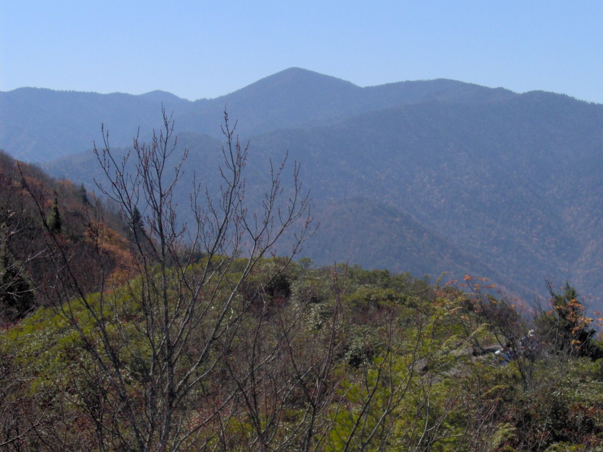
Snake Den Ridge Trail
- 5.2 mi
- round trip
- 3,315 ft
- climb
- Out and back
- route
- Hard
- difficulty
- Apr, Aug–Nov
- best months
Is Snake Den Ridge Trail open right now?
Closure in the area
There's a closure order in Great Smoky Mountains National Park. It doesn't name Snake Den Ridge Trail, so check the source for the area it covers (4 listed).
Kuwohi Road Closed Due To Snow And Ice
Park closure covering Great Smoky Mountains National Park · NPS · Great Smoky Mountains National Park
Seasonal road closures
Park closure covering Great Smoky Mountains National Park · NPS · Great Smoky Mountains National Park
Straight Fork and the one-way section of Balsam Mountain Road closed.
Park closure covering Great Smoky Mountains National Park · NPS · Great Smoky Mountains National Park
Park Headquarters Road is closed
Park closure covering Great Smoky Mountains National Park · NPS · Great Smoky Mountains National Park
As of · Source: NPS · Great Smoky Mountains National Park. Agencies don't list every closure — check before you go.
Snake Den Ridge Trail is a 10.48-mile out-and-back hike in Tennessee with 3,315 feet of elevation gain. The trail follows the ridge line through the park.
Local outfitters
- Panther Creek Outfitters Horseback Rides16 mi away
- Hurshel's Outfitters21 mi away
Not on Roamze yet. Their page has how to reach them.
 Albright Grove Loop TrailHiking · ~7 min drivePhoto: Chris M Morris, CC BY 2.0 (via Wikimedia Commons)
 Ramsey Cascades TrailHiking · ~10 min drivePhoto: Chris M Morris, CC BY 2.0 (via Wikimedia Commons)
 Old Settlers TrailHiking · ~17 min drivePhoto: Bas van Oorschot, CC BY-SA 3.0 (via Wikimedia Commons)
 Rube Rock TrailHiking · ~17 min drivePhoto: NCDOTcommunications, CC BY 2.0 (via Wikimedia Commons)
- Rhodedendron Creek TrailHiking · ~18 min drivePhoto: Bas van Oorschot, CC BY-SA 3.0 (via Wikimedia Commons)
 Tower TrailHiking · ~16 min drivePhoto: NCDOTcommunications, CC BY 2.0 (via Wikimedia Commons)
- Balsam Mountain TrailHiking · ~13 min drive
- Lower Mount Cammerer TrailHiking · Next door
- Rube Rock TrailHiking · ~20 min drivePhoto: NCDOTcommunications, CC BY 2.0 (via Wikimedia Commons)
- Groundhog Creek TrailHiking · ~18 min drivePhoto: NCDOTcommunications, CC BY 2.0 (via Wikimedia Commons)
Best time to visit Snake Den Ridge Trail
Best months: April and August–November. Best months have typical highs of 55–85 °F, lows of 30 °F or warmer (32 °F where the station doesn't record snow), at most one snowy day and no more than 12 wet days.
Jan
48° / 29°
13 wet
Feb
53° / 32°
12 wet
Mar
61° / 38°
13 wet
Apr
71° / 46°
12 wet
May
77° / 54°
13 wet
Jun
83° / 62°
14 wet
Jul
86° / 65°
14 wet
Aug
85° / 64°
12 wet
Sep
80° / 59°
9 wet
Oct
70° / 48°
9 wet
Nov
60° / 37°
10 wet
Dec
51° / 32°
12 wet
Typical high / low (°F) and days with rain or snow, 1991–2020. Measured at Waterville 2, NC, 6.4 mi away at 1,430 ft. We don't have this place's elevation, so higher spots nearby can run cooler. This station doesn't record snowfall. Source: NOAA NCEI U.S. Climate Normals 1991–2020.