Ramsey Cascades Trail
 Photo: Chris M Morris, CC BY 2.0 (via Wikimedia Commons)
- 3.9 mi
- one way
- 2,182 ft
- climb
- 4,266 ft
- high point
- Point to point
- route
- Sep–Oct
- best months
Is Ramsey Cascades Trail open right now?
Closure in the area
There's a closure order in Great Smoky Mountains National Park. It doesn't name Ramsey Cascades Trail, so check the source for the area it covers (3 listed).
Seasonal road closures
Park closure covering Great Smoky Mountains National Park · NPS · Great Smoky Mountains National Park
Straight Fork and the one-way section of Balsam Mountain Road closed.
Park closure covering Great Smoky Mountains National Park · NPS · Great Smoky Mountains National Park
Park Headquarters Road is closed
Park closure covering Great Smoky Mountains National Park · NPS · Great Smoky Mountains National Park
As of · Source: NPS · Great Smoky Mountains National Park. Agencies don't list every closure — check before you go.
Ramsey Cascades Trail is a 3.9-mile point-to-point hike in Great Smoky Mountains National Park in Tennessee, managed by the National Park Service. The route rises from about 2,074 feet to 4,266 feet, a total gain of 2,182 feet, and the steepest stretch comes at about 1.4 miles in, where the grade reaches 23%. The trail is rated moderate. Summer is the most comfortable time to go. Typical averages from the nearby Newfound Gap weather station, which sits about 774 feet higher than the trail, show July highs around 74°F with lows near 57°F, while winter highs stay in the upper 30s. The trail is not open to bikes or horses. There is no fee to hike it, and the trip is estimated to take about 2.5 hours. Nearby, Old Settlers Trail and Maddron Bald Trail are both within about 4.6 miles. Greenbrier Picnic Pavilion and Cosby Campground are a little farther out, at about 4.7 and 6 miles.
Local outfitters
- Hurshel's Outfitters17 mi away
- GSM Outfitters19 mi away
Not on Roamze yet. Their page has how to reach them.
Best time to go · Sep–Oct
Best time to visit Ramsey Cascades Trail
Best months: September–October. Best months have typical highs of 55–85 °F, lows of 30 °F or warmer (32 °F where the station doesn't record snow), at most one snowy day and no more than 12 wet days.
Jan
39° / 22°
13 wet
Feb
42° / 25°
12 wet
Mar
49° / 30°
13 wet
Apr
58° / 38°
13 wet
May
66° / 47°
15 wet
Jun
71° / 54°
16 wet
Jul
74° / 57°
16 wet
Aug
72° / 56°
14 wet
Sep
68° / 51°
11 wet
Oct
59° / 41°
10 wet
Nov
50° / 32°
10 wet
Dec
43° / 27°
12 wet
Typical high / low (°F) and days with rain or snow, 1991–2020. Measured at Newfound Gap, TN, 9.9 mi away at 5,040 ft. The station sits about 800 ft higher than this place, so expect it a little warmer here. This station doesn't record snowfall. Source: NOAA NCEI U.S. Climate Normals 1991–2020.
Keep exploring — more trails worth the drive
 Photo: Chris M Morris, CC BY 2.0 (via Wikimedia Commons)
Albright Grove Loop Trail
~4 min drive
1.24-mile out-and-back hike in Tennessee with 471 ft of elevation gain
 Photo: Bas van Oorschot, CC BY-SA 3.0 (via Wikimedia Commons)
Old Settlers Trail
~8 min drive
15.47-mile point-to-point trail in Tennessee with 3,376 ft elevation gain
 Photo: Chris M Morris, CC BY 2.0 (via Wikimedia Commons)
Porters Creek Trail
~10 min drive
3.58-mile point-to-point trail in Tennessee with 1,885 ft descent
 Photo: gary_leavens, CC BY-SA 2.0 (via Flickr)
Sweat Heifer Creek Trail
~13 min drive
7.1-mile out-and-back trail in North Carolina with 4,355 ft elevation gain
Photo: Bas van Oorschot, CC BY-SA 3.0 (via Wikimedia Commons)Rhodedendron Creek Trail
~9 min drive
2.06-mile out-and-back hike in Tennessee with 601 ft elevation gain
 Photo: bogdanstepniak, CC BY 3.0 (via Wikimedia Commons)
Appalachian Trail
~13 min drive
20.56-mile out-and-back on the Appalachian Trail in North Carolina with 5,398 ft gain/loss
Photo: Bas van Oorschot, CC BY-SA 3.0 (via Wikimedia Commons)Engine Creek Trail
~12 min drive
4.02-mile out-and-back trail in Tennessee with 1,059 ft elevation gain
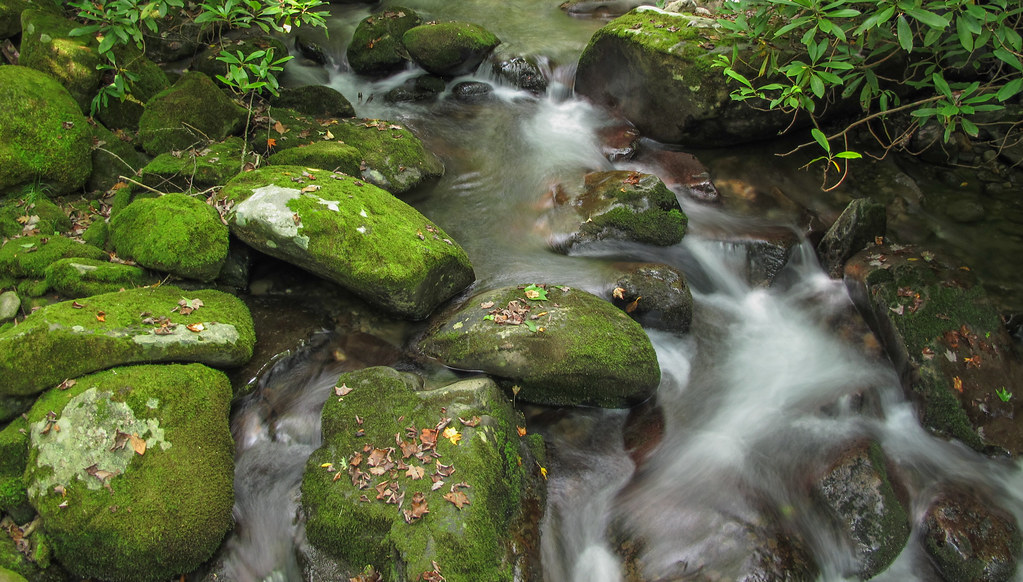 Photo: pmuellr, CC BY 2.0 (via Flickr)
Kanati Fork Trail
~16 min drive
5.7-mile out-and-back trail in North Carolina with 2,907 ft gain and 5,014 ft max elevation.
Photo: bogdanstepniak, CC BY 3.0 (via Wikimedia Commons)Jump Off Trail
~13 min drive
0.78-mile out-and-back hike in North Carolina with 370 ft of elevation gain.
HIKE
Balsam Mountain Trail
~12 min drive
19.96-mile out-and-back trail in North Carolina with 2,091 ft of elevation gain.
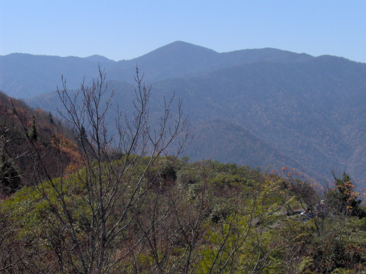
Map and trail data © OpenStreetMap contributors
