Clemmer Trail
- 4.4 mi
- one way
- 778 ft
- climb
- 1,751 ft
- high point
- Point to point
- route
- Feb, Apr–May
- best months
Is Clemmer Trail open right now?
Closure in the area
There's a closure order in Cherokee National Forest. It doesn't name Clemmer Trail, so check the source for the area it covers (2 listed).
Ocoee River Flooding Damage - Nov 5
Agency closure covering Cherokee National Forest · USFS · Cherokee National Forest
Campsite limitations
Agency closure covering Cherokee National Forest · Order 08-04-00-22-180 · USFS · Cherokee National Forest
Emergency road closures due to storm damage
Agency alert covering Cherokee National Forest · USFS · Cherokee National Forest
As of · Source: USFS · Cherokee National Forest. Agencies don't list every closure — check before you go.
Clemmer Trail is a 4.4-mile moderate hike in Tennessee's Cherokee National Forest, within the Ocoee Ranger District and the South Cherokee National Forest & Wildlife Management Area. The trail is a point-to-point route with a high point of 1,751 feet and a low of 866 feet, and it gains 778 feet of elevation. The steepest stretch comes at about 1.8 miles in, with a 20% grade. The trail is open to bikes, and the trip is estimated to take about two hours. The land is managed jointly. Spring and fall are the most comfortable times to go. Typical averages from a nearby weather station show October highs around 73°F with lows near 48°F, and April highs around 72°F. That station sits well below the trail, so temperatures on the route run cooler. Rim Rock Trail starts just 0.2 miles away, and Slickrock Loop Trail is about half a mile off. McKamy Lake is roughly a mile away, and Chilhowee Campground is about 1.2 miles away.
- RIM ROCK TRAILHiking0.2 mi
- Slickrock Loop TrailHiking0.5 mi
- McKamy LakeLake fishing0.9 mi
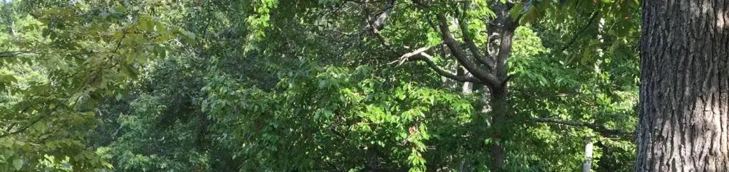 Chilhowee Group CampCampingPhoto: Recreation.gov (RIDB) / public domain1.2 mi
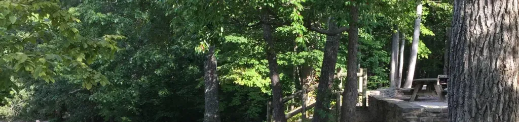 Chilhowee CampgroundCampingPhoto: Recreation.gov (RIDB) / public domain1.2 mi
- Ocoee River AreaRiver fishing4.5 mi
- GoForth Creek BouldersRock climbing6 mi
- Starr MountainRock climbing7.4 mi
Source: Roamze catalog (indexable pages within 10 miles, PostGIS distance)
 Slickrock Branch RoadHiking · ~3 min drivePhoto: Ken Lund from Las Vegas, Nevada, USA, CC BY-SA 2.0 (via Wikimedia Commons)
- Prince Gap TrailHiking · ~5 min drivePhoto: Ken Lund from Las Vegas, Nevada, USA, CC BY-SA 2.0 (via Wikimedia Commons)
- SYLCO LOOPHiking · ~12 min drive
- Grassy GapHiking · ~15 min drive
 Clemmer Spur TrailHiking · ~3 min drivePhoto: Nicolas Raymond from Bethesda, Maryland, USA, CC BY 2.0 (via Wikimedia Commons)
 Lowry Cove TrailHiking · ~12 min drivePhoto: Chris M Morris, CC BY 2.0 (via Wikimedia Commons)
- Starr MountainHiking · ~14 min drive
- Yellow Stand Lead Trail No. 78Hiking · ~15 min drive
- Gee CreekHiking · ~14 min drivePhoto: Chris M Morris, CC BY 2.0 (via Wikimedia Commons)
- CHESTNUT MOUNTAIN HORSE TRAILHiking · ~14 min drivePhoto: Chris M Morris, CC BY 2.0 (via Wikimedia Commons)
Best time to visit Clemmer Trail
Best months: February, April–May and September–November. Best months have typical highs of 55–85 °F, lows of 30 °F or warmer (32 °F where the station doesn't record snow), at most one snowy day and no more than 12 wet days.
Jan
50° / 29°
13 wet
Feb
55° / 33°
12 wet
Mar
63° / 39°
13 wet
Apr
72° / 47°
12 wet
May
79° / 56°
12 wet
Jun
86° / 64°
12 wet
Jul
89° / 68°
12 wet
Aug
88° / 67°
10 wet
Sep
83° / 60°
9 wet
Oct
73° / 48°
9 wet
Nov
61° / 37°
10 wet
Dec
53° / 32°
13 wet
Typical high / low (°F) and days with rain or snow, 1991–2020. Measured at Cleveland Fltr Plt, TN, 12.2 mi away at 842 ft. The station sits about 900 ft lower than this place, so expect it a little cooler here. This station doesn't record snowfall. Source: NOAA NCEI U.S. Climate Normals 1991–2020.
Map and trail data © OpenStreetMap contributors
