South Holston Lake
- Apr, Jun–Nov
- best months
Is South Holston Lake open right now?
Closure in the area
There's a closure order in Cherokee National Forest. It doesn't name South Holston Lake, so check the source for the area it covers (2 listed).
Ocoee River Flooding Damage - Nov 5
Agency closure covering Cherokee National Forest · USFS · Cherokee National Forest
Campsite limitations
Agency closure covering Cherokee National Forest · Order 08-04-00-22-180 · USFS · Cherokee National Forest
Emergency road closures due to storm damage
Agency alert covering Cherokee National Forest · USFS · Cherokee National Forest
Roan Mountain Fire Restrictions
Agency alert covering Watauga Ranger District · Order 08-04-06-25-001 · USFS · Watauga Ranger District
As of · Source: USFS · Cherokee National Forest. Agencies don't list every closure — check before you go.
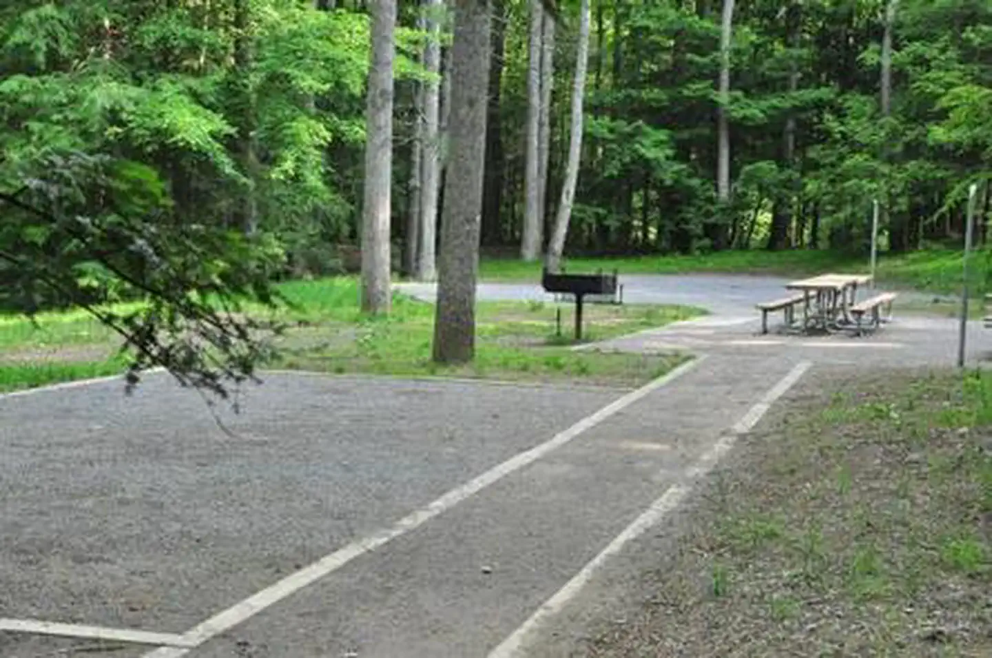
South Holston Lake is a fishing lake in Tennessee's Cherokee National Forest, within the Watauga Ranger District. The Forest Service manages the surrounding land, and the lake sits about 2.5 miles from Little Oak Campground and Little Oak Mountain Trail, which makes it an easy pairing with an overnight stay or a day on foot. For comfortable weather, aim for late spring or early fall. Typical averages from a nearby weather station in Abingdon, Virginia, show May highs around 75°F and September highs near 79°F, with September also seeing the fewest wet days of the year. The South Fork Holston River, a tailwater fishing spot, lies about 2.8 miles away, and the Holston Mountain Area is roughly 3.9 miles off. Paddlers can head to Stony Creek, about 8 miles away.
Local outfitters
- Elk Creek Outfitters31 mi away
- The Speckled Trout Outfitters35 mi away
Not on Roamze yet. Their page has how to reach them.
- LITTLE OAK MOUNTAIN TRAILHiking2 mi
- Little Oak CampgroundCamping2 mi
- Jacobs Creek CampgroundCamping2.5 mi
- FLATWOODS HORSE TRAILHiking2.6 mi
- JOSIAH HORSE TRAILHiking2.8 mi
- South Fork Holston RiverRiver fishing2.8 mi
- Holston Mountain AreaLake fishing3.9 mi
- Stony CreekCanoeing8.2 mi
Source: Roamze catalog (indexable pages within 10 miles, PostGIS distance)
- Holston Mountain AreaLake fishing · ~7 min drive
- South Fork Holston RiverRiver fishing · ~5 min drive
- Rat Branch Boat LaunchPier fishing · ~29 min drive
- Holston River North ForkRiver fishing · ~47 min drive
- Clinch RiverRiver fishing · ~49 min drive
- Linville RiverRiver fishing · ~1h 11m drive
- Bald MountainsRiver fishing · ~1h 17m drive
- Taylor LakeLake fishing · ~7 min drive
- Watauga RiverRiver fishing · ~25 min drive
- Watauga RiverRiver fishing · ~48 min drive
Best time to visit South Holston Lake
Best months: April and June–November. Best months have typical highs of 55–85 °F, lows of 30 °F or warmer (32 °F where the station doesn't record snow), at most one snowy day and no more than 12 wet days.
Jan
45° / 24°
13 wet
Feb
48° / 27°
12 wet
Mar
57° / 33°
13 wet
Apr
68° / 41°
12 wet
May
75° / 50°
13 wet
Jun
82° / 59°
12 wet
Jul
85° / 62°
12 wet
Aug
84° / 61°
11 wet
Sep
79° / 55°
8 wet
Oct
69° / 43°
9 wet
Nov
57° / 33°
10 wet
Dec
48° / 27°
13 wet
Typical high / low (°F) and days with rain or snow, 1991–2020. Measured at Abingdon 3s, VA, 9.6 mi away at 1,925 ft. This station doesn't record snowfall. Source: NOAA NCEI U.S. Climate Normals 1991–2020.