A.T. Laurel Fork Shelter
- Apr–Oct
- best months
Is A.T. Laurel Fork Shelter open right now?
Closure in the area
There's a closure order in Cherokee National Forest. It doesn't name A.T. Laurel Fork Shelter, so check the source for the area it covers (3 listed).
Ocoee River Flooding Damage - Nov 5
Agency closure covering Cherokee National Forest · USFS · Cherokee National Forest
Campsite limitations
Agency closure covering Cherokee National Forest · Order 08-04-00-22-180 · USFS · Cherokee National Forest
List of trail closures post-Hurricane Helene
Park closure covering Appalachian National Scenic Trail · NPS · Appalachian National Scenic Trail
Black Bears Frequenting the McAfee Knob Area in Virginia
Park alert covering Appalachian National Scenic Trail · NPS · Appalachian National Scenic Trail
Emergency road closures due to storm damage
Agency alert covering Cherokee National Forest · USFS · Cherokee National Forest
As of · Source: USFS · Cherokee National Forest. Agencies don't list every closure — check before you go.
- At 2,247 ft
- Pond Mountain WildernessWatauga Ranger District · Appalachian National Scenic Trail
A.T. LAUREL FORK SHELTER (Camping Area)
Local outfitters
- Price Lake Boat Rentals24 mi away
Not on Roamze yet. Their page has how to reach them.
- Appalachian TrailHiking0.2 mi
- Laurel FallsWaterfall0.4 mi
- Hampton Blueline TrailHiking1 mi
- Coon Den FallsWaterfall2 mi
- Rat Branch Boat RampBoat launch2 mi
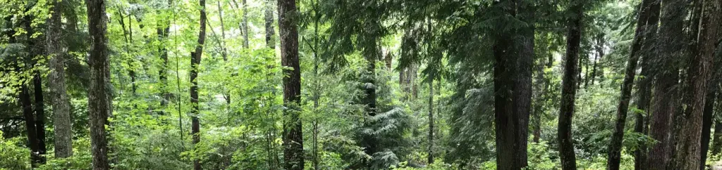 Dennis Cove CampgroundCampingPhoto: Recreation.gov (RIDB) / public domain2.1 mi
- Pond MountainSummit2.7 mi
- John And Landon Carter House State ParkState park6.3 mi
Source: Roamze catalog (indexable pages within 10 miles, PostGIS distance)
- Dennis Cove CampgroundCamping · ~4 min drive
 A.T. Clyde Smith ShelterCamping · ~16 min drivePhoto: Chris Bennett, CC BY 2.0 (via Wikimedia Commons)
 A.T. Overmountain ShelterCamping · ~20 min drivePhoto: dsmorris, CC BY 4.0 (via Wikimedia Commons)
 A.T. Stan Murray ShelterCamping · ~21 min drivePhoto: jpaxton, CC BY-SA 3.0 (via Wikimedia Commons)
 A.T. Curley Maple Gap ShelterCamping · ~32 min drivePhoto: J.P. Lawrence (University of Mississippi), CC BY 4.0 (via Wikimedia Commons)
- A.T. Roan High Knob ShelterCamping · ~21 min drivePhoto: Chris Bennett, CC BY 2.0 (via Wikimedia Commons)
- Rock Creek Recreation Area (Cherokee National Forest, TN)Camping · ~26 min drive
 A.T. Double Springs ShelterCamping · ~31 min drivePhoto: Adam Barrera @highmileage, CC BY-SA 4.0 (via Wikimedia Commons)
- The Hamptons RV ParkCamping · ~4 min drive
- Cardens Bluff CgCamping · ~4 min drive
Best time to visit A.T. Laurel Fork Shelter
Best months: April–October. Best months have typical highs of 55–85 °F, lows of 30 °F or warmer (32 °F where the station doesn't record snow), at most one snowy day and no more than 12 wet days.
Jan
44° / 22°
Feb
48° / 25°
Mar
55° / 31°
Apr
65° / 38°
May
71° / 47°
Jun
77° / 55°
Jul
80° / 59°
Aug
78° / 58°
Sep
74° / 51°
Oct
67° / 40°
Nov
56° / 30°
Dec
48° / 25°
Typical high / low (°F) and days with rain or snow, 1991–2020. Measured at Roan Mtn 3sw, TN, 8.3 mi away at 2,923 ft. The station sits about 700 ft higher than this place, so expect it a little warmer here. This station doesn't record snowfall. Source: NOAA NCEI U.S. Climate Normals 1991–2020.
