A.T. Abington Gap Shelter
- Apr–Oct
- best months
Is A.T. Abington Gap Shelter open right now?
Closure in the area
There's a closure order in Cherokee National Forest. It doesn't name A.T. Abington Gap Shelter, so check the source for the area it covers (3 listed).
Ocoee River Flooding Damage - Nov 5
Agency closure covering Cherokee National Forest · USFS · Cherokee National Forest
Campsite limitations
Agency closure covering Cherokee National Forest · Order 08-04-00-22-180 · USFS · Cherokee National Forest
List of trail closures post-Hurricane Helene
Park closure covering Appalachian National Scenic Trail · NPS · Appalachian National Scenic Trail
Black Bears Frequenting the McAfee Knob Area in Virginia
Park alert covering Appalachian National Scenic Trail · NPS · Appalachian National Scenic Trail
Emergency road closures due to storm damage
Agency alert covering Cherokee National Forest · USFS · Cherokee National Forest
As of · Source: USFS · Cherokee National Forest. Agencies don't list every closure — check before you go.
- At 3,794 ft
- Watauga Ranger DistrictAppalachian National Scenic Trail · Cherokee National Forest
A.T. Abington Gap Shelter is a campground in Tennessee with 5 sites. It is managed by the Forest Service.
Local outfitters
- Price Lake Boat Rentals32 mi away
Not on Roamze yet. Their page has how to reach them.
- McQueen KnobSummit1.2 mi
- Appalachian TrailHiking2 mi
- Beaverdam CreekCanoeing2.2 mi
- Locust Pole KnobSummit3.1 mi
- TennesseeHiking4.5 mi
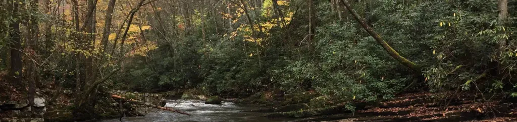 Backbone Rock CampgroundCampingPhoto: Recreation.gov (RIDB) / public domain4.9 mi
- Jacobs Creek CampgroundCamping6.1 mi
- Laurel CreekCanoeing7.6 mi
Source: Roamze catalog (indexable pages within 10 miles, PostGIS distance)
- Backbone Rock CampgroundCamping · ~8 min drive
 Thomas Knob a.t. ShelterCamping · ~36 min drivePhoto: Famartin, CC BY-SA 4.0 (via Wikimedia Commons)
 Grindstone Family CampgroundCamping · ~37 min drivePhoto: Famartin, CC BY-SA 4.0 (via Wikimedia Commons)
 Old Orchard a.t. ShelterCamping · ~39 min drivePhoto: Famartin, CC BY-SA 4.0 (via Wikimedia Commons)
- Fox Creek Horse CampCamping · ~40 min drive
 Hurricane A.T. ShelterCamping · ~41 min drivePhoto: Famartin, CC BY-SA 4.0 (via Wikimedia Commons)
- Dennis Cove CampgroundCamping · ~43 min drive
 A.T. Double Springs ShelterCamping · ~12 min drivePhoto: Adam Barrera @highmileage, CC BY-SA 4.0 (via Wikimedia Commons)
 Lost Mountain a.t. ShelterCamping · ~24 min drivePhoto: Idawriter, CC BY-SA 3.0 (via Wikimedia Commons)
- Old Virginia Group Horse CampCamping · ~42 min drive
Best time to visit A.T. Abington Gap Shelter
Best months: April–October. Best months have typical highs of 55–85 °F, lows of 30 °F or warmer (32 °F where the station doesn't record snow), at most one snowy day and no more than 12 wet days.
Jan
46° / 23°
9 wet
Feb
49° / 25°
9 wet
Mar
57° / 31°
10 wet
Apr
67° / 39°
10 wet
May
74° / 49°
12 wet
Jun
80° / 56°
12 wet
Jul
82° / 60°
12 wet
Aug
81° / 59°
10 wet
Sep
77° / 52°
8 wet
Oct
68° / 41°
7 wet
Nov
58° / 31°
7 wet
Dec
49° / 26°
9 wet
Typical high / low (°F) and days with rain or snow, 1991–2020. Measured at Mtn City 2, TN, 9.2 mi away at 2,419 ft. The station sits about 1,400 ft lower than this place, so expect it a little cooler here. This station doesn't record snowfall. Source: NOAA NCEI U.S. Climate Normals 1991–2020.

