Shadows of Rushmore
Campground
Campground · 4.3 mi from the trail
Alert in the area
The Forest Service lists 5 alerts for Black Hills National Forest.
Pactola North Boat Ramp Closure
Agency alert covering Black Hills National Forest · USFS · Black Hills National Forest
14-day Limit for Camping/Occupancy in the Black Hills National Forest
Agency alert covering Black Hills National Forest · USFS · Black Hills National Forest
Topaz timber sale near Sturgis, SD Continues Operations
Agency alert covering Black Hills National Forest · USFS · Black Hills National Forest
Hwy 385 Construction Updates
Agency alert covering Black Hills National Forest · USFS · Black Hills National Forest
Open Fire Restriction - Black Hills NF in South Dakota
Agency alert covering Black Hills National Forest · USFS · Black Hills National Forest
As of · Source: USFS · Black Hills National Forest. Agencies don't list every closure — check before you go.
Battle Creek 01 is a short, easy out-and-back hike in the Mystic Ranger District of South Dakota's Black Hills National Forest. The trail is about 2.3 miles long, with a total elevation gain of 642 feet and a high point of 4,556 feet. The route is a gentle climb. The steepest stretch comes around the 1-mile mark, where the grade reaches about 14 percent. That section is the only place where the trail rises steeply. The high point sits just over 200 feet above the starting elevation of 4,365 feet. The whole trip takes about an hour. Summer is the most comfortable time to go. Typical July highs reach about 79°F with lows near 59°F, based on averages from a nearby weather station at Mt Rushmore. That station sits about 750 feet higher than the trail, so temperatures on the hike run a little warmer. Hipster Cave and Hippie Hole, two climbing areas, both lie about 1.9 miles away. The Flume hike is about 3 miles off. Grizzly Bear Campground is about 4.6 miles away.
Shadows of Rushmore
Campground
Places © OpenStreetMap contributors, Places © Overture Maps Foundation
More in Custer Grizzly Bear CampgroundCampingPhoto: KimonBerlin, CC BY-SA 2.0 (via Wikimedia Commons)4.6 mi
Source: Roamze catalog (indexable pages within 10 miles, PostGIS distance)
 Iron Creek #15Hiking · ~9 min drivePhoto: QKC, CC BY-SA 3.0 (via Wikimedia Commons)
 Blackberry TrailHiking · ~10 min drivePhoto: hakkun, CC BY-SA 3.0 (via Wikimedia Commons)
 Lovers' Leap TrailHiking · ~19 min drivePhoto: inkknife_2000 (7.5 million views +), CC BY-SA 2.0 (via Wikimedia Commons)
Also worth it near here
Grizzly Bear CampgroundCamping · ~8 min drivePhoto: KimonBerlin, CC BY-SA 2.0 (via Wikimedia Commons) Waylon WallRock climbing · ~9 min drivePhoto: Eric Friedebach, CC BY 3.0 (via Wikimedia Commons)
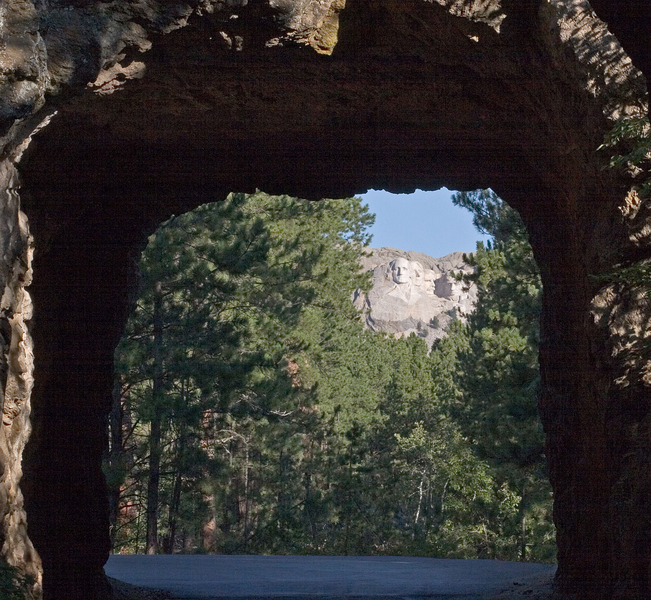 Iron MountainSummit · ~9 min drivePhoto: Kimon Berlin, user:Gribeco, CC BY 2.5 (via Wikimedia Commons)
Best months: July–October. Best months have typical highs of 55–85 °F, lows of 30 °F or warmer (32 °F where the station doesn't record snow), at most one snowy day and no more than 12 wet days.
Jan
37° / 19°
5 wet
Feb
36° / 18°
6 wet
Mar
44° / 25°
7 wet
Apr
50° / 32°
9 wet
May
60° / 41°
14 wet
Jun
71° / 52°
14 wet
Jul
79° / 59°
12 wet
Aug
77° / 58°
10 wet
Sep
69° / 50°
8 wet
Oct
55° / 37°
7 wet
Nov
44° / 27°
5 wet
Dec
37° / 20°
5 wet
Typical high / low (°F) and days with rain or snow, 1991–2020. Measured at Mt Rushmore Nmem, SD, 5.3 mi away at 5,311 ft. The station sits about 800 ft higher than this place, so expect it a little warmer here. This station doesn't record snowfall. Source: NOAA NCEI U.S. Climate Normals 1991–2020.
