Dartmouth Ramp
- Feb–May, Sep–Dec
- best months
Clear today
Weather is good · OpenWeather · checked just now
Dartmouth Ramp is a boat launch in South Carolina, managed by the Army Corps of Engineers within the J. Strom Thurmond Recreation Area. The nearest town is Mount Carmel, about 4.5 miles away. Spring and fall are the most comfortable times to get on the water. Typical averages from the nearby Calhoun Falls weather station show October highs around 75°F and April highs near 74°F, while July averages about 91°F. Bobby Brown State Park lies about 3.4 miles away, with Gill Point campground at roughly 3.7 miles. The Broad River, about 5.7 miles off, and Hickory Knob State Park, about 8.1 miles away, offer more fishing nearby.
- Managed by
- Army Corps of Engineers
- Bobby Brown State ParkLake fishing3.4 mi
- Gill PointCamping3.7 mi
- Broad RiverRiver fishing5.7 mi
- Hickory Knob State ParkLake fishing8.1 mi
Source: Roamze catalog (indexable pages within 10 miles, PostGIS distance)
 Ogeechee RiverCanoeing · ~1h 9m drivePhoto: w:Flickr user Karol M, CC BY 2.0 (via Wikimedia Commons)
- Shuck Pen Boat RampBoat launch · ~12 min drive
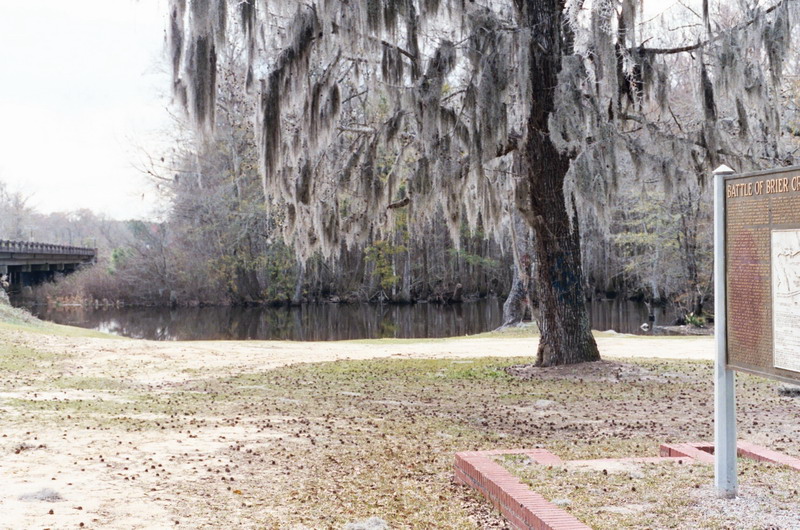 Brier CreekCanoeing · ~1h 13m drivePhoto: Dereddick, Public domain (via Wikimedia Commons)
- Hesters Marina Ramp (Abandoned)Boat launch · ~12 min drive
- Calhoun CreekCanoeing · ~22 min drive
- Cherokee Boat RampBoat launch · ~35 min drive
- Clark CreekCanoeing · ~30 min drive
- Souls Harbor Boat RampBoat launch · ~56 min drive
- Long Cane CreekCanoeing · ~41 min drive
- Furys Ferry Boat RampBoat launch · ~59 min drive
Best time to visit Dartmouth Ramp
Best months: February–May and September–December. Best months have typical highs of 55–85 °F, lows of 30 °F or warmer (32 °F where the station doesn't record snow), at most one snowy day and no more than 12 wet days.
Jan
54° / 32°
10 wet
Feb
58° / 35°
9 wet
Mar
66° / 40°
9 wet
Apr
74° / 49°
8 wet
May
81° / 58°
9 wet
Jun
88° / 67°
9 wet
Jul
91° / 70°
9 wet
Aug
90° / 69°
8 wet
Sep
84° / 63°
7 wet
Oct
75° / 50°
7 wet
Nov
65° / 40°
8 wet
Dec
56° / 34°
9 wet
Typical high / low (°F) and days with rain or snow, 1991–2020. Measured at Calhoun Falls, SC, 9.7 mi away at 530 ft. Source: NOAA NCEI U.S. Climate Normals 1991–2020.
Map and trail data © OpenStreetMap contributors
