Bottleneck Trail
- 0.7 mi
- round trip
- 268 ft
- climb
- 971 ft
- high point
- Out and back
- route
- Feb–Jun, Sep–Nov
- best months
Bottleneck Trail is a short, easy out-and-back hike in South Carolina, about 1.6 miles from the town of Bay Shores. The trail is 1.4 miles long, with a total elevation gain of 268 feet, and it starts and ends at about 971 feet. The climb is rolling, with the steepest stretch at about 0.36 miles in, where the grade reaches 8 percent. Spring and fall are the most comfortable times to go. Typical averages from a nearby weather station show October highs around 72°F with lows near 52°F, and April is similar at about 72°F by day and 50°F at night. July is the warmest month, with highs near 89°F. The trip takes about half an hour. The trail sits close to several other short routes, including Collarbone Trail and Hardwood Trail, each about 0.2 miles away, and Triple Creek at 0.3 miles. Waldrop Stone Falls Creek Boulders, a climbing area, is about 0.8 miles off.
Local outfitters
- Wildwater White Water Rafting & Zipline Canopy Tours24 mi away
- Headwaters Outfitters28 mi away
Not on Roamze yet. Their page has how to reach them.
- Collarbone TrailHiking0.2 mi
- Hardwood TrailHiking0.2 mi
- Triple CreekHiking0.3 mi
- Waldrop Stone Falls Creek BouldersRock climbing0.8 mi
- Lake KeoweeLake fishing7.4 mi
- Twin Lakes (sc)Camping7.6 mi
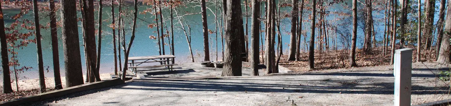 Twin LakesLake fishing7.6 mi
 Oconee PointCampingPhoto: Recreation.gov (RIDB) / public domain9.4 mi
Source: Roamze catalog (indexable pages within 10 miles, PostGIS distance)
- Collarbone TrailHiking · Next door
- Triple CreekHiking · Next door
- Doodle TrailHiking · ~24 min drive
- Hardwood TrailHiking · Next door
- Issaqueena Lake TrailHiking · ~2 min drive
- Roy and Dale TrailHiking · Next door
- Hunting Arrow TrailHiking · ~2 min drive
- RC Edwards TrailHiking · ~1 min drive
- Double Fork Tree TrailHiking · ~3 min drive
- Lawrence TrailHiking · ~1 min drive
Best time to visit Bottleneck Trail
Best months: February–June and September–November. Best months have typical highs of 55–85 °F, lows of 30 °F or warmer (32 °F where the station doesn't record snow), at most one snowy day and no more than 12 wet days.
Jan
52° / 34°
11 wet
Feb
56° / 36°
10 wet
Mar
64° / 43°
10 wet
Apr
72° / 50°
10 wet
May
79° / 58°
11 wet
Jun
85° / 66°
11 wet
Jul
89° / 70°
12 wet
Aug
87° / 69°
12 wet
Sep
82° / 63°
9 wet
Oct
72° / 52°
9 wet
Nov
62° / 42°
10 wet
Dec
54° / 36°
11 wet
Typical high / low (°F) and days with rain or snow, 1991–2020. Measured at Clemson Oconee Co Ap, SC, 5.1 mi away at 891 ft. This station doesn't record snowfall. Source: NOAA NCEI U.S. Climate Normals 1991–2020.
Map and trail data © OpenStreetMap contributors
