Pirateland Family Campground
- Sep–Jun
- best months
- At 11 ft
Pirateland Family Campground is a campground in South Carolina at about 11 feet.
Local outfitters
- River Island Adventures20 mi away
Not on Roamze yet. Their page has how to reach them.
 yaupon nature trailHikingPhoto: James Willamor, CC BY-SA 3.0 (via Wikimedia Commons)1.1 mi
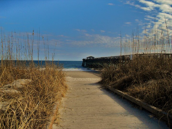 Myrtle Beach State ParkState parkPhoto: Jacklyn Viazanica, CC BY 2.0 (via Wikimedia Commons)1.1 mi
- sculptured oak nature trailHikingPhoto: James Willamor, CC BY-SA 3.0 (via Wikimedia Commons)1.2 mi
- Surfside Beach: 17 NorthBeach1.7 mi
- Unincorporated Horry County: Horry County 1Beach1.8 mi
- Surfside Beach: 16 NorthBeach1.8 mi
- Surfside Beach: 15 NorthBeach1.9 mi
- Myrtle Beach BoardwalkHiking5.1 mi
Source: Roamze catalog (indexable pages within 10 miles, PostGIS distance)
 ElmwoodCamping · ~1h 14m drivePhoto: Thomson M, CC BY 3.0 (via Wikimedia Commons)
 Holden Beach RVCamping · ~1h 14m drivePhoto: 5chw4r7z — CC BY-SA 2.0 (via Flickr)
 Honey HillCamping · ~1h 22m drivePhoto: Hunter Desportes, CC BY 2.0 (via Wikimedia Commons)
- Lakewood Family CampgroundCamping · Next door
- Ocean Lakes CampgroundCamping · ~2 min drive
- Ocean Lakes RV CenterCamping · ~2 min drive
- Myrtle Beach K.O.A.Camping · ~7 min drive
- Kampgrounds of America Myrtle BeachCamping · ~7 min drive
- Cypress Camping ResortCamping · ~8 min drive
- Huntington Beach State Park CampgroundCamping · ~20 min drive
Best time to visit Pirateland Family Campground
Best months: September–June. Best months have typical highs of 55–85 °F, lows of 30 °F or warmer (32 °F where the station doesn't record snow), at most one snowy day and no more than 12 wet days.
Jan
55° / 34°
Feb
58° / 35°
Mar
64° / 42°
Apr
72° / 51°
May
79° / 60°
Jun
85° / 68°
Jul
87° / 72°
Aug
87° / 70°
Sep
83° / 65°
Oct
76° / 54°
Nov
66° / 42°
Dec
59° / 36°
Typical high / low (°F) and days with rain or snow, 1991–2020. Measured at Myrtle Beach, SC, 10.7 mi away at 39 ft. This station doesn't record snowfall. Source: NOAA NCEI U.S. Climate Normals 1991–2020.
Map and trail data © OpenStreetMap contributors
