Colonel Denning State Park
 Photo: w:Pennsylvania Department of Conservation and Natural Resources, Pennsylvania Bureau of State Parks , probably Burt Ellsworth, the staff photographer, CC BY-SA 3.0 (via Wikimedia Commons)
- State Park and Recreation
- managed by
- Apr–Oct
- best months
Clear at last check
Weather is good · OpenWeather · checked 19 h ago
Colonel Denning State Park is a Pennsylvania state park managed by State Park and Recreation, about 6.4 miles from the town of Blain. It serves as a base for a cluster of trails, paddling and camping within a short drive, making it a practical starting point for exploring the surrounding area. Late spring and early fall are the most comfortable times to visit. Typical averages from a nearby weather station show May highs around 71°F and September highs around 75°F, with July the warmest month at about 84°F. The Tuscarora Trail lies just 1.3 miles away, and the North Branch Trail is about 6.6 miles off. Paddlers can head to Shermans Creek, roughly 7.3 miles away, and Showaker Equestrian Campground sits about 8.2 miles from the park.
Park size
257 acres
Inside this park
Campgrounds
- Tuscarora TrailHiking1.3 mi
- North Branch TrailHiking6.6 mi
- Shermans CreekCanoeing7.3 mi
- Angler's Access TrailMountain biking7.6 mi
- Showaker Equestrian CampgroundCamping8.2 mi
- Turkey Pens TrailHiking8.2 mi
- Cold Spring TrailHiking8.5 mi
- Shermans trailHiking8.5 mi
Source: Roamze catalog (indexable pages within 10 miles, PostGIS distance)
 Fowlers Hollow State ParkState park · ~15 min drivePhoto: Clint, CC BY-SA 2.0 (via Wikimedia Commons)
 Little Buffalo State ParkState park · ~28 min drivePhoto: Ben Winslow, CC BY-SA 2.0 (via Wikimedia Commons)
 Pine Grove Furnace State ParkState park · ~32 min drivePhoto: Zeete, CC BY-SA 4.0 (via Wikimedia Commons)
 Caledonia State ParkState park · ~44 min drivePhoto: Whytecypress, CC BY 2.5 (via Wikimedia Commons)
 Reeds Gap State ParkState park · ~52 min drivePhoto: Clint, CC BY-SA 2.0 (via Wikimedia Commons)
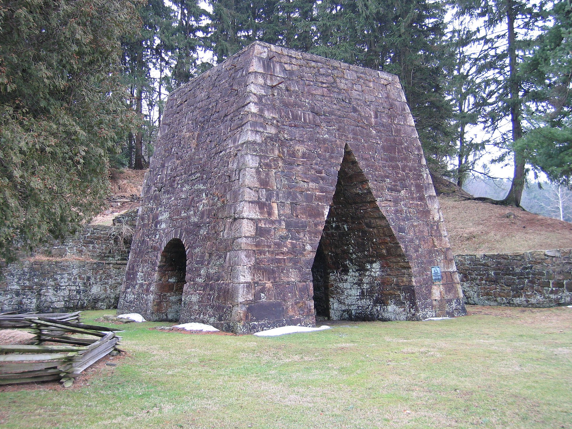 Greenwood Furnace State ParkState park · ~53 min drivePhoto: Wherring, CC BY-SA 3.0 (via Wikimedia Commons)
 Mont Alto State ParkState park · ~54 min drivePhoto: Dincher, CC BY-SA 3.0 (via Wikimedia Commons)
 Cowans Gap State ParkState park · ~58 min drivePhoto: Ak1047, CC BY-SA 4.0 (via Wikimedia Commons)
 Penn Roosevelt State ParkState park · ~58 min drivePhoto: Clint, CC BY-SA 2.0 (via Wikimedia Commons)
 Whipple Dam State ParkState park · ~1h 3m drivePhoto: Anne Oeldorf-Hirsch, CC BY 2.0 (via Wikimedia Commons)
Best time to visit Colonel Denning State Park
Best months: April–October. Best months have typical highs of 55–85 °F, lows of 30 °F or warmer (32 °F where the station doesn't record snow), at most one snowy day and no more than 12 wet days.
Jan
37° / 21°
8 wet
Feb
40° / 23°
7 wet
Mar
48° / 30°
8 wet
Apr
61° / 40°
9 wet
May
71° / 50°
10 wet
Jun
79° / 58°
9 wet
Jul
84° / 63°
9 wet
Aug
82° / 62°
8 wet
Sep
75° / 55°
7 wet
Oct
64° / 44°
7 wet
Nov
52° / 35°
7 wet
Dec
41° / 27°
7 wet
Typical high / low (°F) and days with rain or snow, 1991–2020. Measured at Bloserville 1 N, PA, 2.9 mi away at 700 ft. We don't have this place's elevation, so higher spots nearby can run cooler. This station doesn't record snowfall. Source: NOAA NCEI U.S. Climate Normals 1991–2020.
