Black Moshannon State Park
 Photo: Nicholas, CC BY 2.0 (via Wikimedia Commons)
- State Park and Recreation
- managed by
- Jul–Sep
- best months
Black Moshannon State Park covers 4,187 acres in Pennsylvania and is managed by the state park agency. The nearest town is Beaver Mills, about 1.2 miles away. Within the park is one campground, which makes it a base for overnight trips as well as day visits to the trails that start close by. Typical averages from a nearby weather station in Philipsburg, about 8.6 miles away, show warm summers and cold winters. July is the warmest month, with highs near 80°F and lows around 57°F. June and August are similar, in the mid to upper 70s by day. September stays mild, with highs near 72°F and lows near 48°F. October cools to highs around 59°F. Winter is cold: January averages a high of 32°F and a low of 15°F. Rain or snow is frequent all year. About 11 to 16 days a month see precipitation, and September is the driest month. Several trails lie within about a mile. The Moss-Hanne Trail is 0.3 miles away, the Star Mill Trail is 0.4 miles away, and the Seneca Trail is 0.9 miles away. The longer Allegheny Front Trail is about 1.3 miles off, and Equestrian Camping sits about 2.1 miles away.
Park size
4,187 acres
Inside this park
Campgrounds
 Moss-Hanne TrailHikingPhoto: cm195902, CC BY 2.0 (via Flickr)0.3 mi
- Star Mill TrailHiking0.4 mi
- Seneca TrailHiking0.9 mi
- Allegheny Front Trail & Moss-Hanne TrailHiking1 mi
- Ski Slope TrailHiking1.1 mi
- Sleepy Hollow TrailHiking1.1 mi
- Allegheny Front TrailHiking1.3 mi
- Equestrian CampingCamping2.1 mi
Source: Roamze catalog (indexable pages within 10 miles, PostGIS distance)
 Whipple Dam State ParkState park · ~31 min drivePhoto: Anne Oeldorf-Hirsch, CC BY 2.0 (via Wikimedia Commons)
 Penn Roosevelt State ParkState park · ~38 min drivePhoto: Clint, CC BY-SA 2.0 (via Wikimedia Commons)
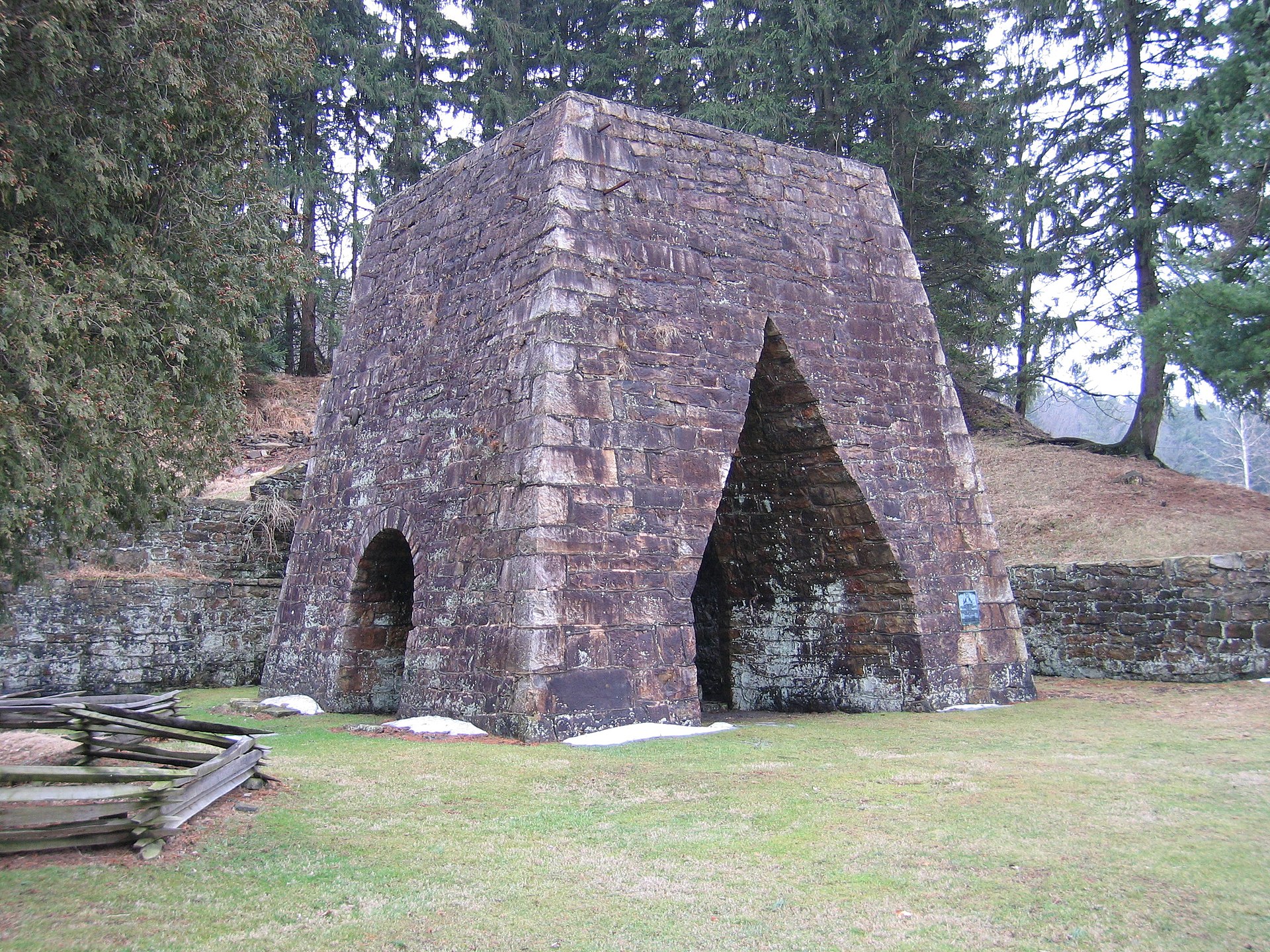 Greenwood Furnace State ParkState park · ~40 min drivePhoto: Wherring, CC BY-SA 3.0 (via Wikimedia Commons)
 Bald Eagle State ParkState park · ~42 min drivePhoto: U.S. Army Corps of Engineers from USA; cropped by Beyond My Ken (talk) 00:01, 29 January 2015 (UTC), Public domain (via Wikimedia Commons)
 Simon B. Elliott State ParkState park · ~49 min drivePhoto: Nicholas, CC BY 2.0 (via Wikimedia Commons)
 Prince Gallitzin State ParkState park · ~51 min drivePhoto: Robert Hale, CC BY 2.0 (via Wikimedia Commons)
 Canoe Creek State ParkState park · ~53 min drivePhoto: Public domain (via Wikimedia Commons)
 Parker Dam State ParkState park · ~54 min drivePhoto: Nicholas A. Tonelli from Northeast Pennsylvania, USA, CC BY 2.0 (via Wikimedia Commons)
 Reeds Gap State ParkState park · ~56 min drivePhoto: Clint, CC BY-SA 2.0 (via Wikimedia Commons)
 Poe Paddy State ParkState park · ~58 min drivePhoto: Andrew Bossi from Laurel, MD, USA, CC BY-SA 2.0 (via Wikimedia Commons)
Best time to visit Black Moshannon State Park
Best months: July–September. Best months have typical highs of 55–85 °F, lows of 30 °F or warmer (32 °F where the station doesn't record snow), at most one snowy day and no more than 12 wet days.
Jan
32° / 15°
16 wet
Feb
35° / 17°
13 wet
Mar
44° / 23°
14 wet
Apr
57° / 34°
15 wet
May
68° / 44°
15 wet
Jun
76° / 53°
13 wet
Jul
80° / 57°
12 wet
Aug
78° / 55°
12 wet
Sep
72° / 48°
11 wet
Oct
59° / 38°
13 wet
Nov
47° / 29°
12 wet
Dec
36° / 21°
15 wet
Typical high / low (°F) and days with rain or snow, 1991–2020. Measured at Philipsburg 2 S, PA, 8.6 mi away at 1,720 ft. We don't have this place's elevation, so higher spots nearby can run cooler. This station doesn't record snowfall. Source: NOAA NCEI U.S. Climate Normals 1991–2020.
