Old Laurel Run Trail
- 0.8 mi
- round trip
- 1,282 ft
- climb
- Singletrack
- surface
- Out and back
- route
- Jun–Oct
- best months
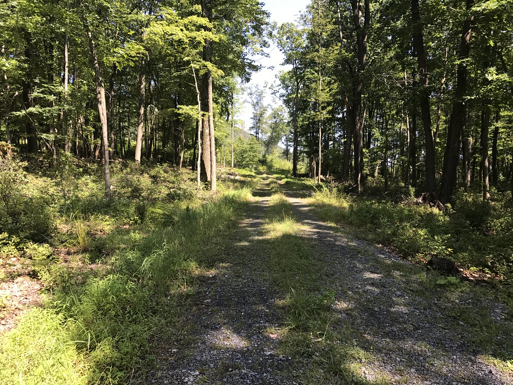
Old Laurel Run Trail is a mountain biking route in Rothrock State Forest in central Pennsylvania, managed by the State Department of Natural Resources. The trail is an out-and-back, about 1.7 miles long, with a total climb of 1,282 feet. It starts near 2,250 feet and reaches a high point of about 2,250 feet, so the route is roughly symmetrical. The steepest stretch comes early, with a 27% grade at about 0.2 miles in. The most comfortable months for a ride are typically late spring through early fall. Typical averages from a nearby weather station in State College show September highs around 72°F with lows near 54°F, and July highs around 81°F. That station sits well below the trail, so temperatures on the route run cooler. Several hiking trails lie within a short distance, including New Laurel Run Trail and Creek Bed Trail, each about 0.3 miles away, and Shingletown Gap Trail at about 0.4 miles. For an overnight stay, Greenwood Furnace Camp is about 7.3 miles away.
Best time to go · Jun–Oct
Best time to visit Old Laurel Run Trail
Best months: June–October. Best months have typical highs of 55–85 °F, lows of 30 °F or warmer (32 °F where the station doesn't record snow), at most one snowy day and no more than 12 wet days.
Jan
34° / 21°
13 wet
Feb
37° / 22°
11 wet
Mar
46° / 28°
12 wet
Apr
59° / 39°
13 wet
May
69° / 50°
14 wet
Jun
77° / 59°
12 wet
Jul
81° / 63°
12 wet
Aug
79° / 62°
12 wet
Sep
72° / 54°
11 wet
Oct
61° / 43°
11 wet
Nov
49° / 34°
11 wet
Dec
38° / 26°
13 wet
Typical high / low (°F) and days with rain or snow, 1991–2020. Measured at State College, PA, 6.1 mi away at 1,170 ft. The station sits about 1,100 ft lower than this place, so expect it a little cooler here. This station doesn't record snowfall. Source: NOAA NCEI U.S. Climate Normals 1991–2020.
Keep exploring — more rides worth the drive
RIDE
John Wert Path
~3 min drive
2.04-mile expert singletrack out-and-back with 135 ft elevation gain in Pennsylvania.
RIDE
Lone Pine Trail
~5 min drive
0.84-mile moderate singletrack out-and-back in Pennsylvania with 202 ft gain.
RIDE
Croyle Run Trail
~7 min drive
1.64-mile hard singletrack out and back with 940 ft elevation gain
RIDE
Tee Trail
~14 min drive
0.29-mile easy singletrack with 112 ft gain in Pennsylvania.
RIDE
Fallen Timber Trail
~51 min drive
1.76-mile out-and-back singletrack with 126 ft of elevation gain in New York.
RIDE
Wildcat Gap Trail
~4 min drive
0.63-mile expert singletrack in Pennsylvania with 25 ft elevation gain
RIDE
Dylan's Path
~6 min drive
1.24-mile out-and-back singletrack in Pennsylvania with 147 ft elevation gain.
RIDE
Bigelow Trail
~11 min drive
0.43-mile hard singletrack out and back in Pennsylvania, 9 ft gain.
RIDE
Rocks Bluff Trail
~19 min drive
0.65-mile easy singletrack in Pennsylvania with 66 ft gain.
RIDE
Fallen Timber Trail
~54 min drive
2.32-mile out-and-back singletrack in New York with 12 ft elevation gain.
Map and trail data © OpenStreetMap contributors
