Warrior Trail (historical)
- 0.6 mi
- round trip
- 236 ft
- climb
- 1,552 ft
- high point
- Out and back
- route
- Apr–Oct
- best months
Warrior Trail (historical) is a short, easy hike in western Pennsylvania, about 1.6 miles from the town of Bluff. The trail is an out-and-back of roughly 1.3 miles, with a front-loaded climb that reaches a high point of 1,552 feet. The route starts and ends at about 1,431 feet, and the total elevation gain and loss for the round trip are each about 236 feet, which makes it a gentle walk that can be done in about half an hour. The climb is steepest near the start, with a grade of about 10% at the 0.12-mile mark, but it soon eases. Typical averages from a nearby weather station in Burton, West Virginia, run warmest from June through September, with July highs around 84°F and lows near 60°F. That station sits a few hundred feet lower than the trail, so temperatures on the trail run somewhat cooler. For more time on foot, Pine Box Trail and Box Turtle Trail are both about 7 miles away. Tiffany Ridge Trail is close by as well, and Browns Creek, a paddling spot, is about 9.4 miles off.
- Pine Box TrailHiking6.7 mi
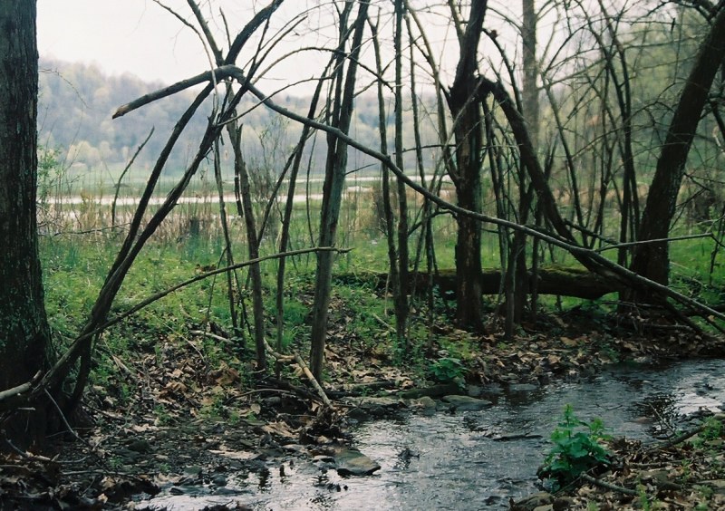 Box Turtle TrailHikingPhoto: crcollins, CC BY-SA 2.0 (via Flickr)7.2 mi
- Tiffany Ridge TrailHiking7.3 mi
- Deer TrailHiking7.5 mi
- Browns CreekCanoeing9.4 mi
Source: Roamze catalog (indexable pages within 10 miles, PostGIS distance)
- Box Turtle TrailHiking · ~12 min drivePhoto: crcollins, CC BY-SA 2.0 (via Flickr)
- Pine Box TrailHiking · ~12 min drive
- Warrior Trail (historical)Hiking · ~5 min drive
- Warrior Trail (historical)Hiking · ~19 min drive
- Warrior Trail (historical)Hiking · ~7 min drive
- Main Loop Trail (Green)Hiking · ~37 min drive
- Warrior Trail (historical)Hiking · ~9 min drive
- Warrior Trail (historical)Hiking · ~11 min drive
- Warrior Trail (historical)Hiking · ~12 min drive
- Tiffany Ridge TrailHiking · ~12 min drive
Best time to visit Warrior Trail (historical)
Best months: April–October. Best months have typical highs of 55–85 °F, lows of 30 °F or warmer (32 °F where the station doesn't record snow), at most one snowy day and no more than 12 wet days.
Jan
39° / 19°
Feb
43° / 21°
Mar
52° / 27°
Apr
65° / 36°
May
75° / 46°
Jun
81° / 55°
Jul
84° / 60°
Aug
84° / 58°
Sep
78° / 51°
Oct
66° / 39°
Nov
53° / 29°
Dec
43° / 24°
Typical high / low (°F) and days with rain or snow, 1991–2020. Measured at Burton, WV, 12.1 mi away at 1,240 ft. This station doesn't record snowfall. Source: NOAA NCEI U.S. Climate Normals 1991–2020.
Map and trail data © OpenStreetMap contributors
