Upper Field Trail
- 1.0 mi
- loop
- 331 ft
- climb
- 525 ft
- high point
- Loop
- route
- Apr, Jun–Oct
- best months
Upper Field Trail is a short, easy hike in Pennsylvania, about a mile long and rising roughly 330 feet from a starting point near 440 feet to a high of about 525 feet. The nearest town is Springtown, about 1.4 miles away. The trail is a gentle climb, with the steepest stretch at about 0.23 miles in, where the grade reaches 8 percent. The total descent is about 290 feet, so the route is roughly balanced between gain and loss. For comfortable weather, late spring and early fall are the best bets. Typical averages from a nearby weather station in Springtown show May highs around 70°F and September highs around 75°F, with July the warmest month at about 83°F. The hike takes about half an hour, and it sits close to several other trails. Lower Creek Loop is just 0.1 mile away and Pursell Loop is 0.3 mile away. North Mountain Horseshoe Trail is about 2.7 miles off, and the North Mountain climbing area is about 3.3 miles away.
Local outfitters
- Bartram's Garden42 mi away
Not on Roamze yet. Their page has how to reach them.
- Lower Creek LoopHiking0.1 mi
- Pursell LoopHiking0.3 mi
- North Mountain Horseshoe TrailHiking2.7 mi
- North MountainRock climbing3.3 mi
- The OutliersRock climbing4 mi
- Hobo BoulderRock climbing4.4 mi
- The Hobo TrailRock climbing4.5 mi
- Lehigh Running TrailHiking5.2 mi
Source: Roamze catalog (indexable pages within 10 miles, PostGIS distance)
 Mink TrailHiking · ~10 min drivePhoto: michaelwm25, CC BY 3.0 (via Wikimedia Commons)
- D&L TrailHiking · ~12 min drive
- Elephant TrailHiking · ~14 min drive
- Mink TrailHiking · ~11 min drivePhoto: michaelwm25, CC BY 3.0 (via Wikimedia Commons)
- Lenni TrailHiking · ~14 min drive
 Sustenance TrailHiking · ~15 min drivePhoto: Discover Lehigh Valley, PA, CC BY 2.0 (via Flickr)
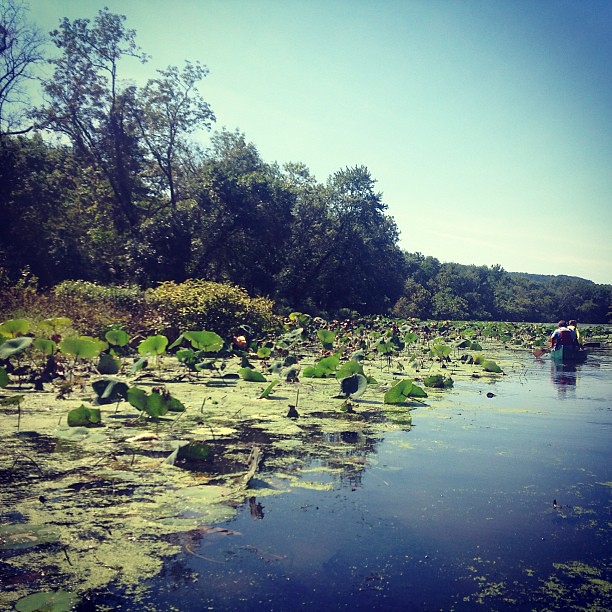 Nacho TrailHiking · ~15 min drivePhoto: Discover Lehigh Valley, PA, CC BY 2.0 (via Flickr)
- Lower Creek LoopHiking · Next door
- Pursell LoopHiking · Next door
- North Mountain Horseshoe TrailHiking · ~5 min drive
Best time to visit Upper Field Trail
Best months: April and June–October. Best months have typical highs of 55–85 °F, lows of 30 °F or warmer (32 °F where the station doesn't record snow), at most one snowy day and no more than 12 wet days.
Jan
37° / 19°
12 wet
Feb
40° / 20°
10 wet
Mar
48° / 27°
11 wet
Apr
61° / 38°
12 wet
May
70° / 49°
14 wet
Jun
78° / 58°
12 wet
Jul
83° / 62°
12 wet
Aug
81° / 61°
11 wet
Sep
75° / 54°
10 wet
Oct
63° / 43°
11 wet
Nov
53° / 33°
10 wet
Dec
42° / 25°
11 wet
Typical high / low (°F) and days with rain or snow, 1991–2020. Measured at Springtown 1 Nne, PA, 2 mi away at 860 ft. This station doesn't record snowfall. Source: NOAA NCEI U.S. Climate Normals 1991–2020.
Map and trail data © OpenStreetMap contributors
