Red Trail
- 2.1 mi
- round trip
- 702 ft
- climb
- 368 ft
- high point
- Out and back
- route
- Apr, Jun–Oct
- best months
Red Trail is an easy hike of about 4.1 miles in Pennsylvania, set on county land within the Green Lane Reservoir area. The route is an out-and-back that gains about 702 feet in total, with a high point of 368 feet, and the steepest stretch comes at about 0.5 miles from the start, where the grade reaches about 9 percent. The trail is a short, low-effort outing, and the most comfortable months for a visit are late spring and early fall. Typical averages from a nearby weather station in Sellersville put May highs around 71°F and September highs around 77°F, with summer running warmer and winter bringing occasional snow days from December through February. The trip takes about 1.5 hours to complete. Dogwood Loop lies about 1.3 miles away, and the Orange Trail and Blue Trail are each about 1.7 miles off. For time on the water, the Perkiomen Creek Water Trail is about 8.3 miles away.
Local outfitters
- Bartram's Garden32 mi away
- Amish Buggy Rides41 mi away
Not on Roamze yet. Their page has how to reach them.
 Dogwood LoopHikingPhoto: michaelwm25, CC BY 3.0 (via Wikimedia Commons)1.3 mi
- Orange TrailHiking1.7 mi
- Blue TrailHikingPhoto: michaelwm25, CC BY 3.0 (via Wikimedia Commons)1.7 mi
- Perkiomen Creek Water TrailCanoeing8.3 mi
Source: Roamze catalog (indexable pages within 10 miles, PostGIS distance)
- Dogwood LoopHiking · ~2 min drivePhoto: michaelwm25, CC BY 3.0 (via Wikimedia Commons)
- Blue TrailHiking · ~3 min drivePhoto: michaelwm25, CC BY 3.0 (via Wikimedia Commons)
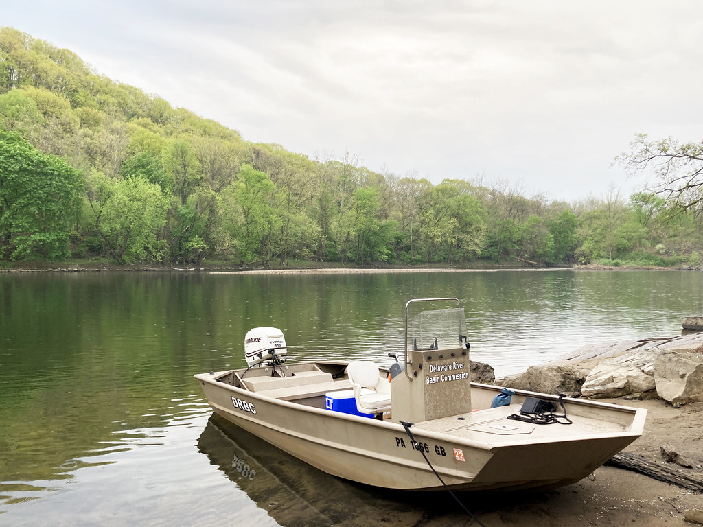 D&L TrailHiking · ~29 min drivePhoto: Delaware River Basin Commission (DRBC), CC BY 2.0 (via Flickr)
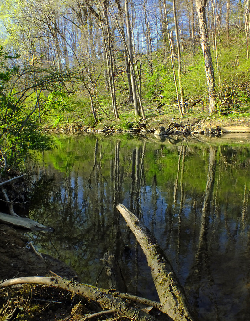 Floodplain TrailHiking · ~22 min drivePhoto: Nicholas_T, CC BY 2.0 (via Flickr)
- Elephant TrailHiking · ~23 min drive
 Sustenance TrailHiking · ~27 min drivePhoto: Discover Lehigh Valley, PA, CC BY 2.0 (via Flickr)
- Double R TrailHiking · ~23 min drive
 Mink TrailHiking · ~28 min drivePhoto: michaelwm25, CC BY 3.0 (via Wikimedia Commons)
- Mink TrailHiking · ~28 min drivePhoto: michaelwm25, CC BY 3.0 (via Wikimedia Commons)
 Cedar Creek PathHiking · ~28 min drivePhoto: Serendipedd, CC BY-SA 3.0 (via Wikimedia Commons)
Best time to visit Red Trail
Best months: April and June–October. Best months have typical highs of 55–85 °F, lows of 30 °F or warmer (32 °F where the station doesn't record snow), at most one snowy day and no more than 12 wet days.
Jan
38° / 19°
11 wet · 3 snow
Feb
41° / 21°
9 wet · 3 snow
Mar
49° / 28°
11 wet · 1 snow
Apr
62° / 38°
12 wet
May
71° / 48°
13 wet
Jun
80° / 57°
12 wet
Jul
85° / 63°
10 wet
Aug
83° / 61°
10 wet
Sep
77° / 54°
9 wet
Oct
64° / 41°
11 wet
Nov
53° / 32°
10 wet
Dec
43° / 25°
11 wet · 1 snow
Typical high / low (°F) and days with rain or snow, 1991–2020. Measured at Sellersville, PA, 9 mi away at 302 ft. Source: NOAA NCEI U.S. Climate Normals 1991–2020.
Map and trail data © OpenStreetMap contributors
