Rachel Carson Trail
- 13.3 mi
- round trip
- 5,509 ft
- climb
- 1,249 ft
- high point
- Out and back
- route
- Jun–Oct
- best months
Rachel Carson Trail is a 13.28-mile out-and-back hike in Pennsylvania, starting at the town of Hites. The route is a steady climb, with a total elevation gain of 5,509 feet over the full 26.6-mile round trip. The high point reaches 1,249 feet, and the steepest stretch comes early, at about 0.33 miles in, with a grade of 39 percent. The trail is rated expert, so plan on a long day with a significant amount of climbing. The most comfortable months for a visit are typically late spring and early fall. Typical averages from a nearby weather station show May highs around 72°F and September highs around 75°F, with July the warmest month at about 83°F. That station sits roughly 500 feet lower than the trail's high point, so temperatures on the higher ground run cooler. The trip takes about 11.5 hours to complete. The closest trails are the South White Alternate Trail, about 2.9 miles away, and the White Trail, about 3.1 miles away. Mountain bikers can head to Pond Loop, about 6 miles off, and climbers will find Harrison Hills Park about 6.3 miles away.
Local outfitters
- Venture Outdoors12 mi away
Not on Roamze yet. Their page has how to reach them.
- South White Alternate TrailHiking2.9 mi
- White TrailHiking3.1 mi
- Purple Trail LoopHiking3.2 mi
- Yellow Trail LoopHiking3.3 mi
- Pond LoopMountain biking6 mi
- Scouts TrailMountain biking6.1 mi
- Harrison Hills ParkRock climbing6.3 mi
- Caryn's BoulderRock climbing6.3 mi
Source: Roamze catalog (indexable pages within 10 miles, PostGIS distance)
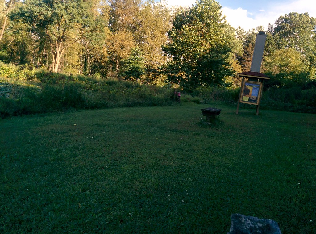 Scouts TrailHiking · ~10 min drivePhoto: hhm8, CC BY 2.0 (via Flickr)
- Rachel Carson TrailHiking · ~4 min drive
- Rachel Carson TrailHiking · ~8 min drive
- South White Alternate TrailHiking · ~5 min drive
- Rachel Carson TrailHiking · ~4 min drive
- White TrailHiking · ~5 min drive
- Rachel Carson TrailHiking · ~4 min drive
- Purple Trail LoopHiking · ~5 min drive
- Rachel Carson TrailHiking · ~4 min drive
- White TrailHiking · ~6 min drive
Best time to visit Rachel Carson Trail
Best months: June–October. Best months have typical highs of 55–85 °F, lows of 30 °F or warmer (32 °F where the station doesn't record snow), at most one snowy day and no more than 12 wet days.
Jan
36° / 19°
16 wet
Feb
40° / 21°
14 wet
Mar
49° / 28°
14 wet
Apr
62° / 38°
13 wet
May
72° / 49°
14 wet
Jun
79° / 57°
12 wet
Jul
83° / 62°
11 wet
Aug
82° / 61°
10 wet
Sep
75° / 54°
10 wet
Oct
63° / 43°
11 wet
Nov
51° / 32°
12 wet
Dec
42° / 25°
15 wet
Typical high / low (°F) and days with rain or snow, 1991–2020. Measured at Acmetonia Lock 3, PA, 3.7 mi away at 748 ft. The station sits about 500 ft lower than this place, so expect it a little cooler here. This station doesn't record snowfall. Source: NOAA NCEI U.S. Climate Normals 1991–2020.
Map and trail data © OpenStreetMap contributors
