Mountain Streams Trail
- 2.0 mi
- round trip
- 1,038 ft
- climb
- 1,815 ft
- high point
- Out and back
- route
- Apr–Oct
- best months
Mountain Streams Trail is a moderate out-and-back hike of about 4 miles in Forbes State Forest, Pennsylvania, managed by the State Department of Natural Resources. The trail starts near 1,700 feet and climbs to about 1,815 feet, with roughly 1,000 feet of total gain and loss over the round trip. The climb is steady, with the steepest stretch around half a mile in, where the grade reaches about 10 percent. The trail works well as a day hike, and most of it is on one side of the mountain. Expect the trip to take about two hours. For comfortable weather, late spring and early fall are the sweet spots. Typical averages from a nearby weather station run from highs near 70°F in May to around 74°F in September. Winters are cold, with January highs around 35°F. The Dan Carns Trail and the climbing at Right Wall and Middle Wall are all about a mile away, and Blair Brothers Trail is a little farther. Mountain Pines Campground, about 3.4 miles off, offers a place to stay overnight.
Local outfitters
- Paddler's Lane Retreat19 mi away
Not on Roamze yet. Their page has how to reach them.
- Dan Carns TrailHiking1.1 mi
- Right WallRock climbing1.1 mi
- Middle WallRock climbing1.1 mi
- Pike RunRock climbing1.1 mi
- Blair Brothers TrailHiking1.2 mi
- Jeff Barr TrailHiking1.2 mi
- Illegal TrailHiking1.7 mi
- Mountain Pines CampgroundCamping3.4 mi
Source: Roamze catalog (indexable pages within 10 miles, PostGIS distance)
 Laurel Highlands Hiking TrailHiking · ~6 min drivePhoto: henrymclaughlin4, CC BY-SA 3.0 (via Wikimedia Commons)
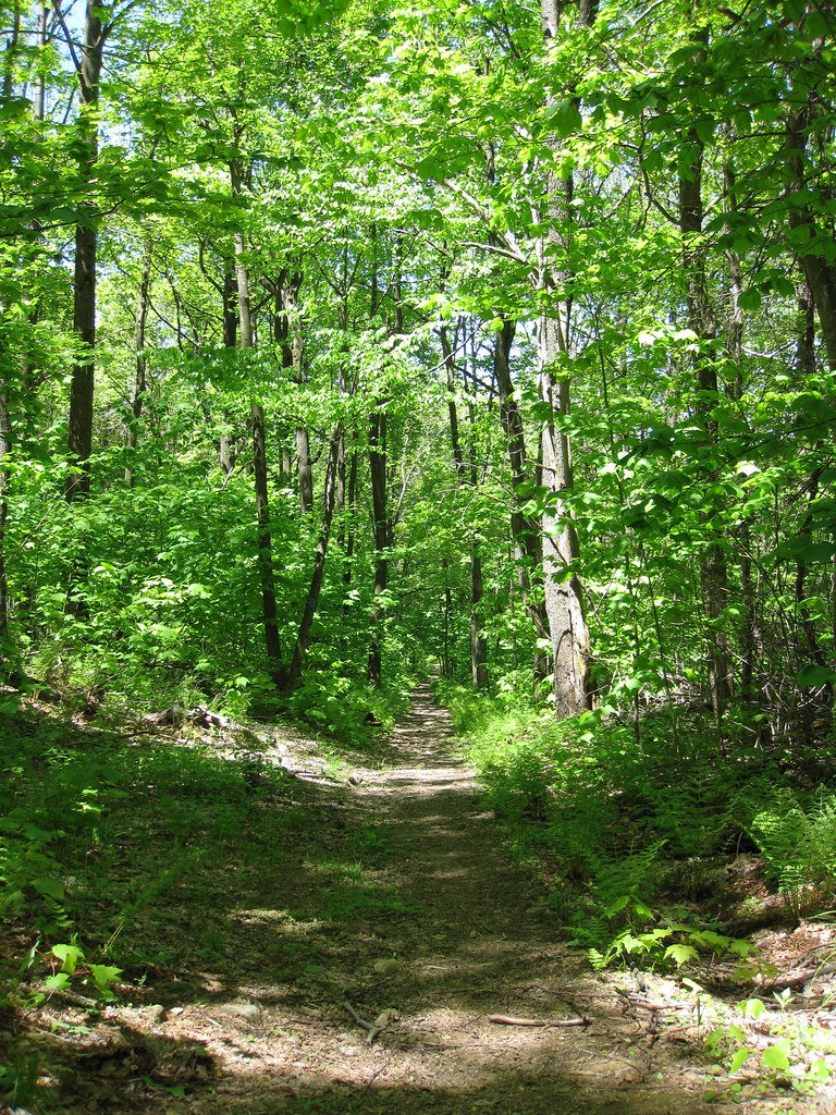 South Loop TrailHiking · ~6 min drivePhoto: daveynin, CC BY 2.0 (via Flickr)
- Illegal TrailHiking · ~3 min drive
- Koring TrailHiking · ~6 min drivePhoto: henrymclaughlin4, CC BY-SA 3.0 (via Wikimedia Commons)
- North Loop TrailHiking · ~3 min drive
- ILLEGAL TRAILHiking · ~5 min drive
- Craighead TrailHiking · ~7 min drivePhoto: henrymclaughlin4, CC BY-SA 3.0 (via Wikimedia Commons)
- McKenna TrailHiking · ~4 min drive
- Mountain Streams TrailHiking · ~1 min drive
- Mountain Streams TrailHiking · ~4 min drive
Best time to visit Mountain Streams Trail
Best months: April–October. Best months have typical highs of 55–85 °F, lows of 30 °F or warmer (32 °F where the station doesn't record snow), at most one snowy day and no more than 12 wet days.
Jan
35° / 19°
Feb
39° / 20°
Mar
47° / 26°
Apr
60° / 37°
May
70° / 47°
Jun
77° / 56°
Jul
81° / 60°
Aug
79° / 59°
Sep
74° / 52°
Oct
63° / 41°
Nov
51° / 32°
Dec
41° / 24°
Typical high / low (°F) and days with rain or snow, 1991–2020. Measured at Donegal 2 Nw, PA, 5.2 mi away at 1,800 ft. This station doesn't record snowfall. Source: NOAA NCEI U.S. Climate Normals 1991–2020.
Map and trail data © OpenStreetMap contributors
