Koring Trail
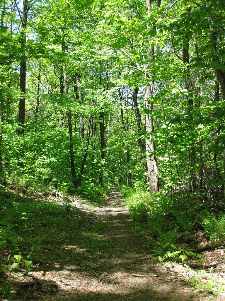
 Photo: henrymclaughlin4, CC BY-SA 3.0 (via Wikimedia Commons)
- 0.8 mi
- round trip
- 368 ft
- climb
- 2,894 ft
- high point
- Out and back
- route
- Apr–Oct
- best months
Koring Trail is a short, easy out-and-back hike in Laurel Ridge State Park in Pennsylvania, managed by State Park and Recreation. The trail is about 1.6 miles long, with a total elevation gain of 368 feet, and it starts at roughly 2,860 feet, reaching a high point of 2,894 feet before returning to the starting level. The climb is back-loaded, with the steepest stretch at the beginning, where the grade reaches about 15 percent. That makes the first part of the trail the most challenging, and the rest of the route is gentler. The trip takes about half an hour, so it works well as a quick outing. Summer is the most comfortable time to go. Typical averages from a nearby weather station at Hidden Valley run to highs around 77°F in July, with lows near 61°F. Winters are cold, with January highs around 32°F. The Laurel Highlands Hiking Trail passes just 0.1 mile away, and the Jones Mill Run Trail and Roaring Run Trail are within a mile. For an overnight stay, Mountain Pines Campground is about 4.5 miles off.
Local outfitters
- Paddler's Lane Retreat17 mi away
Not on Roamze yet. Their page has how to reach them.
- Laurel Highlands Hiking TrailHiking0.1 mi
- Jones Mill Run TrailHiking0.5 mi
- Illegal TrailHiking0.7 mi
- Roaring Run TrailHiking0.8 mi
- Pike RunRock climbing2.7 mi
- Middle WallRock climbing2.7 mi
- Right WallRock climbing2.7 mi
- Mountain Pines CampgroundCamping4.5 mi
Source: Roamze catalog (indexable pages within 10 miles, PostGIS distance)
- Laurel Highlands Hiking TrailHiking · ~2 min drivePhoto: henrymclaughlin4, CC BY-SA 3.0 (via Wikimedia Commons)
 South Loop TrailHiking · ~6 min drivePhoto: daveynin, CC BY 2.0 (via Flickr)
- Illegal TrailHiking · ~3 min drive
- Craighead TrailHiking · ~3 min drivePhoto: henrymclaughlin4, CC BY-SA 3.0 (via Wikimedia Commons)
- Roaring Run TrailHiking · ~1 min drive
 Shay Run TrailHiking · ~6 min drivePhoto: Apuch, CC BY-SA 2.0 (via Flickr)
- McKenna TrailHiking · ~3 min drive
- Laurel Highlands Hiking TrailHiking · Next door
- North Loop TrailHiking · ~3 min drive
- Jones Mill Run TrailHiking · Next door
Best time to visit Koring Trail
Best months: April–October. Best months have typical highs of 55–85 °F, lows of 30 °F or warmer (32 °F where the station doesn't record snow), at most one snowy day and no more than 12 wet days.
Jan
32° / 17°
Feb
35° / 18°
Mar
44° / 25°
Apr
57° / 34°
May
67° / 47°
Jun
72° / 56°
Jul
77° / 61°
Aug
75° / 59°
Sep
70° / 52°
Oct
59° / 40°
Nov
46° / 30°
Dec
37° / 23°
Typical high / low (°F) and days with rain or snow, 1991–2020. Measured at Hidden Valley, PA, 1.6 mi away at 2,876 ft. This station doesn't record snowfall. Source: NOAA NCEI U.S. Climate Normals 1991–2020.
Map and trail data © OpenStreetMap contributors
