Maconaquah Trail
- 2.2 mi
- loop
- 687 ft
- climb
- 1,316 ft
- high point
- Loop
- route
- Apr, Jun–Oct
- best months
Clear today
Weather is good · OpenWeather · checked 7 h ago
Maconaquah Trail is a 2.2-mile loop in Frances Slocum State Park in Pennsylvania, managed by State Park and Recreation. The trail rises from about 1,159 feet to a high point of 1,316 feet, with a total elevation gain of 687 feet, and the steepest stretch comes at about 1.4 miles in, where the grade reaches 12 percent. The most comfortable months for a visit are typically late spring and early fall. Typical averages from a nearby weather station in Wilkes-Barre show May highs around 72°F and September highs around 75°F, with July the warmest month at about 85°F. That station sits roughly 386 feet lower than the trail's high point, so temperatures on the higher ground run a little cooler. The trip takes about an hour. The Deer Trail and Upper Deer Trail both start within half a mile, and the Lake Shore Trail and Larch Tree Trail are each under a mile away.
- Deer TrailHiking0.2 mi
- Upper Deer TrailHiking0.4 mi
- Lake Shore TrailHiking0.8 mi
- Larch Tree TrailHiking0.9 mi
- Bluebird TrailHiking0.9 mi
- Campground TrailHiking1.1 mi
- Back Mountain Trail - Judith & David Rimple Loop TrailHiking2.6 mi
- Luzerne County Levee TrailHiking4.2 mi
Source: Roamze catalog (indexable pages within 10 miles, PostGIS distance)
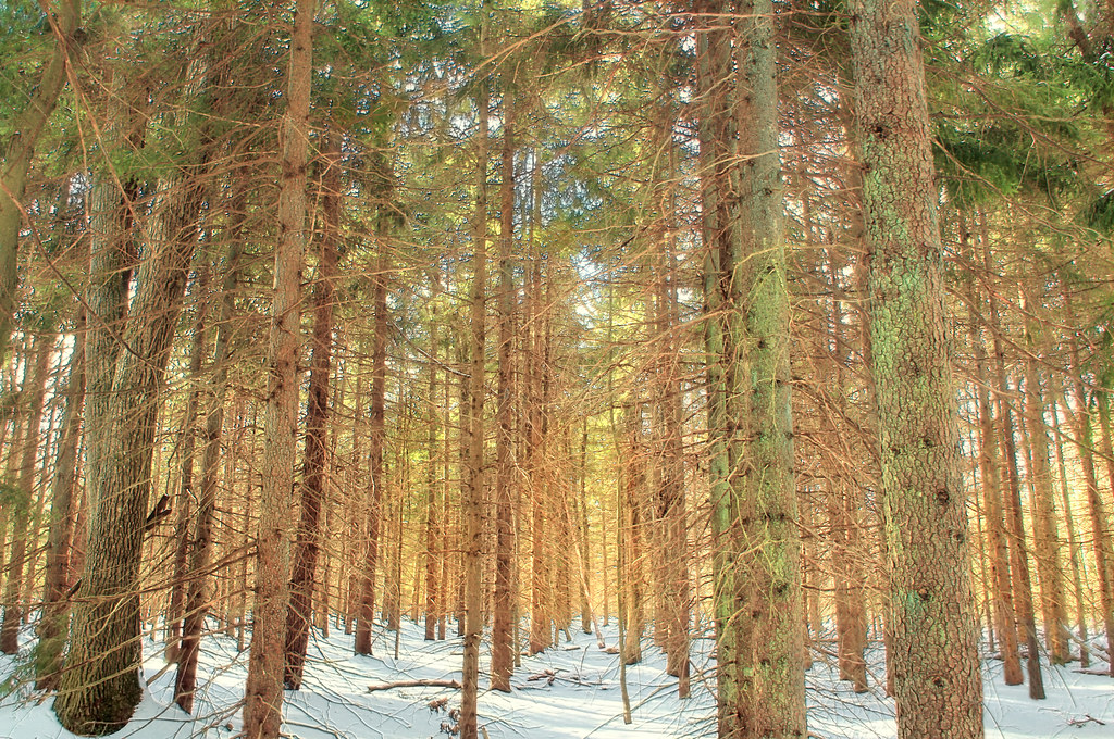 White Line TrailHiking · ~27 min drivePhoto: Nicholas_T, CC BY 2.0 (via Flickr)
- Upper Deer TrailHiking · Next door
- Watres TrailHiking · ~25 min drive
- Boundary Line TrailHiking · ~27 min drivePhoto: Nicholas_T, CC BY 2.0 (via Flickr)
- D&L TrailHiking · ~15 min drive
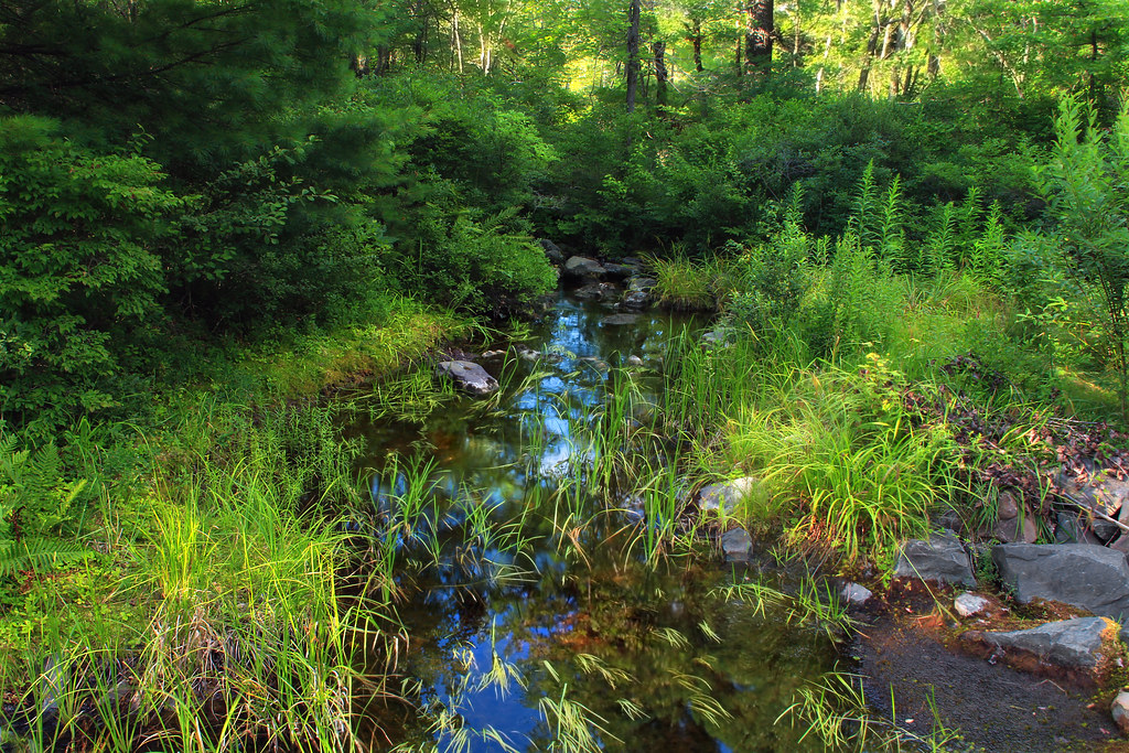 Pine Hill TrailHiking · ~28 min drivePhoto: Nicholas_T, CC BY 2.0 (via Flickr)
- Sugar Notch Trails: Ridgetop TrailHiking · ~17 min drive
 Powder Magazine TrailHiking · ~28 min drivePhoto: Nicholas_T, CC BY 2.0 (via Flickr)
- Old Glen SummitHiking · ~22 min drive
- Deer TrailHiking · Next door
Best time to visit Maconaquah Trail
Best months: April and June–October. Best months have typical highs of 55–85 °F, lows of 30 °F or warmer (32 °F where the station doesn't record snow), at most one snowy day and no more than 12 wet days.
Jan
36° / 20°
12 wet
Feb
39° / 22°
11 wet
Mar
48° / 29°
12 wet
Apr
61° / 39°
12 wet
May
72° / 50°
13 wet
Jun
80° / 58°
12 wet
Jul
85° / 63°
12 wet
Aug
82° / 61°
11 wet
Sep
75° / 54°
10 wet
Oct
63° / 43°
11 wet
Nov
51° / 34°
11 wet
Dec
40° / 26°
12 wet
Typical high / low (°F) and days with rain or snow, 1991–2020. Measured at Wilkes-Barre Intl Ap, PA, 9 mi away at 930 ft. This station doesn't record snowfall. Source: NOAA NCEI U.S. Climate Normals 1991–2020.
Map and trail data © OpenStreetMap contributors
