Log Trail (White)
- 0.6 mi
- round trip
- 280 ft
- climb
- 1,027 ft
- high point
- Out and back
- route
- Apr, Jun–Oct
- best months
Clear at last check
Weather is good · OpenWeather · checked 13 h ago
Log Trail (White) is a short, easy hike in South Mountain Preserve in Pennsylvania, managed by a non-governmental organization. The trail is about 0.55 miles long and rises roughly 184 feet from its starting point, with a total round-trip gain of about 280 feet. The climb is front-loaded, with the steepest stretch at about 0.33 miles in, where the grade reaches 8 percent. The most comfortable months for a visit are typically late spring and early fall. Typical averages from a nearby weather station show May highs around 70°F and September highs around 75°F, with July the warmest month at about 83°F. Several other trails sit close by. Yellow (Mountain Top) is about 0.2 miles away, and the Double R Trail and Bloodroot Trail (Green) are each about 0.3 miles off. Climbers can find Emmaus Boulders about 0.5 miles away.
Local outfitters
- Bartram's Garden44 mi away
Not on Roamze yet. Their page has how to reach them.
- Yellow (Mountain Top)Hiking0.2 mi
- Double R TrailHiking0.3 mi
- Bloodroot Trail (Green)Hiking0.3 mi
- Bug Trail (Black)Hiking0.4 mi
- Emmaus BouldersRock climbing0.5 mi
- Main AreaRock climbing0.5 mi
- Behind BauerRock climbing1.9 mi
- Bauer Rock (South Mountain)Rock climbing2.1 mi
Source: Roamze catalog (indexable pages within 10 miles, PostGIS distance)
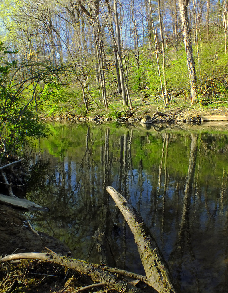 Floodplain TrailHiking · ~4 min drivePhoto: Nicholas_T, CC BY 2.0 (via Flickr)
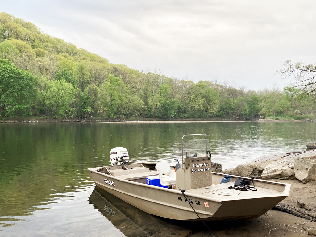 D&L TrailHiking · ~6 min drivePhoto: Delaware River Basin Commission (DRBC), CC BY 2.0 (via Flickr)
 Sustenance TrailHiking · ~5 min drivePhoto: Discover Lehigh Valley, PA, CC BY 2.0 (via Flickr)
- Double R TrailHiking · Next door
 Cedar Creek PathHiking · ~7 min drivePhoto: Serendipedd, CC BY-SA 3.0 (via Wikimedia Commons)
- Lenni TrailHiking · ~8 min drive
- Upper Trexler LoopHiking · ~8 min drivePhoto: Serendipedd, CC BY-SA 3.0 (via Wikimedia Commons)
- Lenni TrailHiking · ~10 min drive
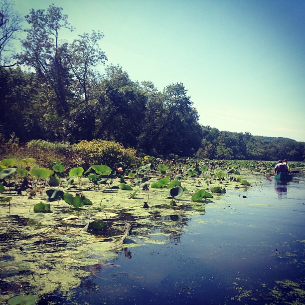 Nacho TrailHiking · ~8 min drivePhoto: Discover Lehigh Valley, PA, CC BY 2.0 (via Flickr)
- Back LoopHiking · ~8 min drivePhoto: Serendipedd, CC BY-SA 3.0 (via Wikimedia Commons)
Best time to visit Log Trail (White)
Best months: April and June–October. Best months have typical highs of 55–85 °F, lows of 30 °F or warmer (32 °F where the station doesn't record snow), at most one snowy day and no more than 12 wet days.
Jan
37° / 19°
12 wet
Feb
40° / 20°
10 wet
Mar
48° / 27°
11 wet
Apr
61° / 38°
12 wet
May
70° / 49°
14 wet
Jun
78° / 58°
12 wet
Jul
83° / 62°
12 wet
Aug
81° / 61°
11 wet
Sep
75° / 54°
10 wet
Oct
63° / 43°
11 wet
Nov
53° / 33°
10 wet
Dec
42° / 25°
11 wet
Typical high / low (°F) and days with rain or snow, 1991–2020. Measured at Springtown 1 Nne, PA, 10.1 mi away at 860 ft. This station doesn't record snowfall. Source: NOAA NCEI U.S. Climate Normals 1991–2020.
Map and trail data © OpenStreetMap contributors
