Keller's Swamp Trail
- 1.1 mi
- round trip
- 209 ft
- climb
- 1,750 ft
- high point
- Out and back
- route
- Apr–Oct
- best months
Keller's Swamp Trail is a short, easy out-and-back hike in Pennsylvania's Thornhurst Tract, managed by the State Department of Natural Resources. The trail is about 2 miles long and climbs roughly 210 feet from its start at about 1,697 feet to a high point of 1,750 feet, with a steady grade that peaks at about 4% around the 1-mile mark. The total round-trip elevation gain is 209 feet. Summer is the most comfortable time to go. Typical averages from the Francis E Walter Dam weather station, about 7 miles away, show July highs near 79°F and lows around 58°F, while winter highs stay near freezing. The trail makes an easy addition to a day spent exploring the surrounding area. Birchstill Trail and Butler Run Trail are each within a mile, Pinchot Trail is about 1.8 miles away, and the Northeast Ridges and Valleys climbing area sits about 5 miles off.
- Birchstill TrailHiking0.9 mi
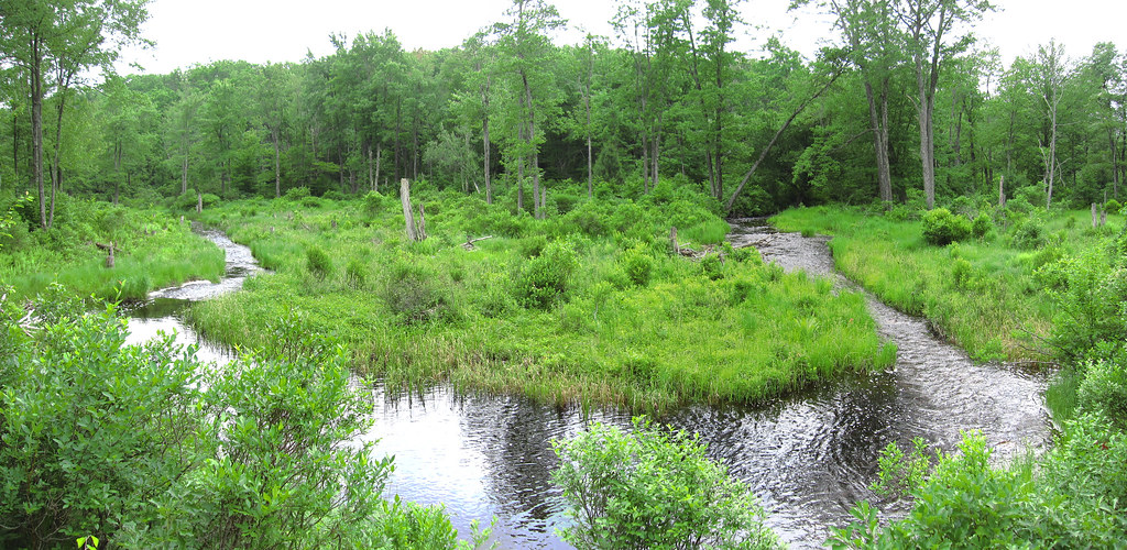 Butler Run TrailHikingPhoto: cm195902, CC BY 2.0 (via Flickr)1 mi
- Pinchot TrailHiking1.8 mi
- Golf Course TrailHiking2.1 mi
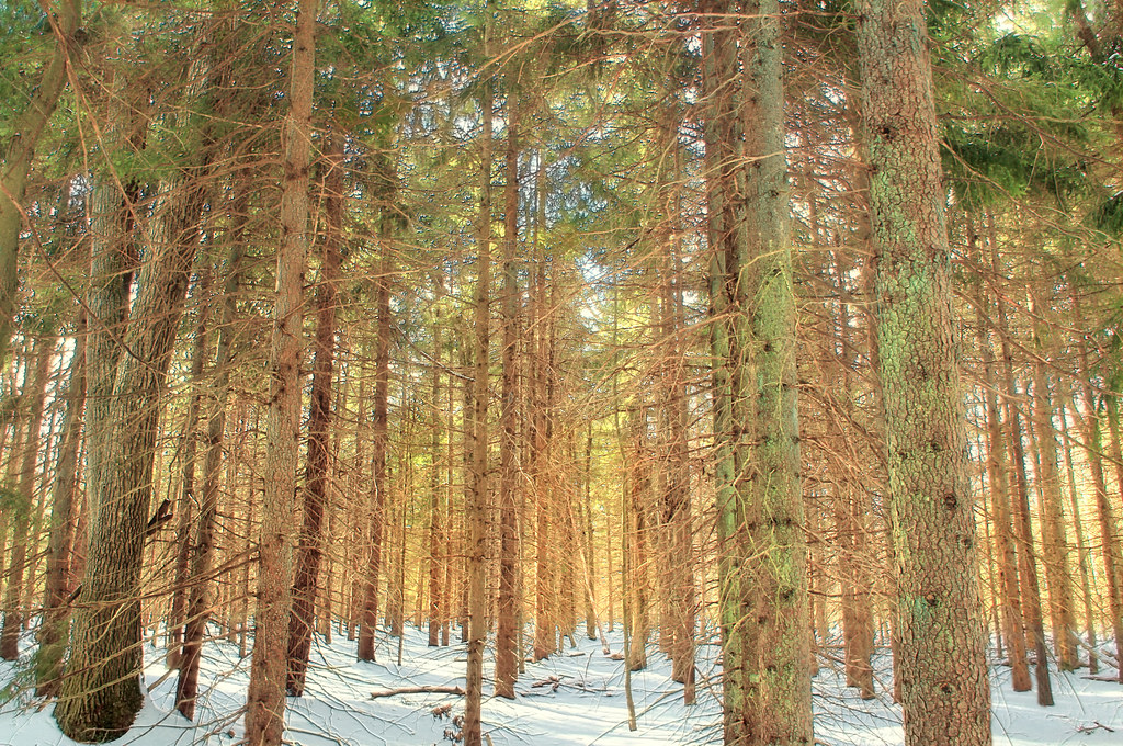 Boundary Line TrailHikingPhoto: Nicholas_T, CC BY 2.0 (via Flickr)3 mi
- White Line TrailHikingPhoto: Nicholas_T, CC BY 2.0 (via Flickr)3.1 mi
- Northeast Ridges and ValleysRock climbing5 mi
 Lehigh RiverCanoeingPhoto: The original uploader was Malepheasant at English Wikipedia., CC BY-SA 2.0 (via Wikimedia Commons)7.5 mi
Source: Roamze catalog (indexable pages within 10 miles, PostGIS distance)
- Butler Run TrailHiking · ~2 min drivePhoto: cm195902, CC BY 2.0 (via Flickr)
 Boulder Field TrailHiking · ~18 min drivePhoto: Nicholas A. Tonelli from Pennsylvania, USA, CC BY 2.0 (via Wikimedia Commons)
- Pinchot TrailHiking · ~3 min drive
- Boundary Line TrailHiking · ~5 min drivePhoto: Nicholas_T, CC BY 2.0 (via Flickr)
 Gamewire TrailHiking · ~19 min drivePhoto: Jeffrey from Dunmore, PA, CC BY-SA 2.0 (via Wikimedia Commons)
- Watres TrailHiking · ~10 min drive
- White Line TrailHiking · ~5 min drivePhoto: Nicholas_T, CC BY 2.0 (via Flickr)
- Old Glen SummitHiking · ~15 min drive
 Powder Magazine TrailHiking · ~5 min drivePhoto: Nicholas_T, CC BY 2.0 (via Flickr)
- Fourth Run TrailHiking · ~16 min drive
Best time to visit Keller's Swamp Trail
Best months: April–October. Best months have typical highs of 55–85 °F, lows of 30 °F or warmer (32 °F where the station doesn't record snow), at most one snowy day and no more than 12 wet days.
Jan
31° / 16°
Feb
35° / 17°
Mar
43° / 24°
Apr
57° / 34°
May
67° / 45°
Jun
74° / 54°
Jul
79° / 58°
Aug
77° / 56°
Sep
71° / 49°
Oct
59° / 38°
Nov
47° / 29°
Dec
36° / 22°
Typical high / low (°F) and days with rain or snow, 1991–2020. Measured at Francis E Walter Dam, PA, 7.2 mi away at 1,509 ft. This station doesn't record snowfall. Source: NOAA NCEI U.S. Climate Normals 1991–2020.
Map and trail data © OpenStreetMap contributors
