Jacqueline Munro Trail
- 0.3 mi
- round trip
- 125 ft
- climb
- 914 ft
- high point
- Out and back
- route
- Apr, Jun–Oct
- best months
The Jacqueline Munro Trail is a short out-and-back hike in Pennsylvania, just 0.1 mile from the village of Sugar Notch. The trail is easy and runs about 0.68 miles round trip, with a total climb of 125 feet. The route is front-loaded, with the steepest part, an 8% grade, coming within the first 0.06 miles. The trail starts at about 789 feet and reaches a high point of 914 feet before returning to the starting elevation. For timing, late spring and early fall are the most comfortable stretches. Typical averages from a nearby weather station in Wilkes-Barre show May highs around 72°F and September highs around 75°F, with July the warmest month at about 85°F. The hike takes about half an hour. The Sugar Notch Trail Spur is 0.3 mile away and the Sugar Notch Trails: Ridgetop Trail is 0.8 mile away. The D&L Trail is about 3 miles off, and the Luzerne County Levee Trail is about 4.1 miles away.
- Sugar Notch Trail SpurHiking0.3 mi
- Sugar Notch Trails: Ridgetop TrailHiking0.8 mi
- D&L TrailHiking3 mi
- Luzerne County Levee TrailHiking4.1 mi
- Wright Twp Walking TrailHiking4.3 mi
- MlmMountain biking7.6 mi
- NfsMountain biking7.8 mi
- Squirrel Rock BoulderingRock climbing8.8 mi
Source: Roamze catalog (indexable pages within 10 miles, PostGIS distance)
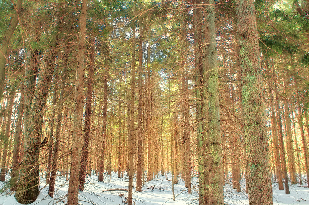 White Line TrailHiking · ~25 min drivePhoto: Nicholas_T, CC BY 2.0 (via Flickr)
- Sugar Notch Trails: Ridgetop TrailHiking · ~1 min drive
- Pinchot TrailHiking · ~26 min drive
- Boundary Line TrailHiking · ~26 min drivePhoto: Nicholas_T, CC BY 2.0 (via Flickr)
- D&L TrailHiking · ~8 min drive
 Skyline TrailHiking · ~26 min drivePhoto: Nicholas T, CC BY 2.0 (via Wikimedia Commons)
- Old Glen SummitHiking · ~14 min drive
- Manor House TrailHiking · ~26 min drivePhoto: Nicholas T, CC BY 2.0 (via Wikimedia Commons)
- Mocanaqua Loop TrailHiking · ~17 min drive
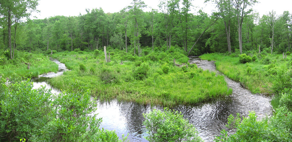 Butler Run TrailHiking · ~27 min drivePhoto: cm195902, CC BY 2.0 (via Flickr)
Best time to visit Jacqueline Munro Trail
Best months: April and June–October. Best months have typical highs of 55–85 °F, lows of 30 °F or warmer (32 °F where the station doesn't record snow), at most one snowy day and no more than 12 wet days.
Jan
36° / 20°
12 wet
Feb
39° / 22°
11 wet
Mar
48° / 29°
12 wet
Apr
61° / 39°
12 wet
May
72° / 50°
13 wet
Jun
80° / 58°
12 wet
Jul
85° / 63°
12 wet
Aug
82° / 61°
11 wet
Sep
75° / 54°
10 wet
Oct
63° / 43°
11 wet
Nov
51° / 34°
11 wet
Dec
40° / 26°
12 wet
Typical high / low (°F) and days with rain or snow, 1991–2020. Measured at Wilkes-Barre Intl Ap, PA, 14.2 mi away at 930 ft. This station doesn't record snowfall. Source: NOAA NCEI U.S. Climate Normals 1991–2020.
Map and trail data © OpenStreetMap contributors
