D&L Trail
- 1.2 mi
- round trip
- 584 ft
- climb
- 1,747 ft
- high point
- Out and back
- route
- Apr–Oct
- best months
The D&L Trail is an easy, out-and-back hike of about 2.5 miles with a total climb of about 584 feet. It is located in Pennsylvania, about 0.2 miles from the town of Fairview, and its trailhead is practically on the town's doorstep. The trail is a steady climb from a starting elevation of about 1,694 feet to a high point of about 1,747 feet, with the steepest stretch around 0.5 miles in. The climb is gentle, with a maximum grade of about 7%, and the route ends at the same elevation it starts, so the total loss on the way back is the same as the gain on the way up. The round trip takes about an hour. Summer is the most comfortable time to go. Typical averages from a nearby weather station run to highs around 79°F and lows near 58°F in July, while winter highs sit in the low 30s. Several other trails lie within a few miles. The Sugar Notch Trails: Ridgetop Trail is about 2.4 miles away, the Jacqueline Munro Trail is about 3 miles away, and the Wright Twp Walking Trail is about 3.1 miles away. The Northeast Ridges and Valleys climbing area is about 8.8 miles away.
- Sugar Notch Trails: Ridgetop TrailHiking2.4 mi
- Jacqueline Munro TrailHiking3 mi
- Sugar Notch Trail SpurHiking3.1 mi
- Wright Twp Walking TrailHiking3.1 mi
- Old Glen SummitHiking5.2 mi
- Luzerne County Levee TrailHiking5.3 mi
- Audubon Loop TrailHiking5.4 mi
- Northeast Ridges and ValleysRock climbing8.8 mi
Source: Roamze catalog (indexable pages within 10 miles, PostGIS distance)
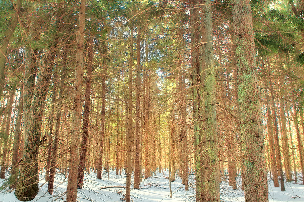 White Line TrailHiking · ~21 min drivePhoto: Nicholas_T, CC BY 2.0 (via Flickr)
- Sugar Notch Trails: Ridgetop TrailHiking · ~4 min drive
- Pinchot TrailHiking · ~22 min drive
 Skyline TrailHiking · ~21 min drivePhoto: Nicholas T, CC BY 2.0 (via Wikimedia Commons)
- D&L TrailHiking · ~6 min drive
- Manor House TrailHiking · ~21 min drivePhoto: Nicholas T, CC BY 2.0 (via Wikimedia Commons)
- Old Glen SummitHiking · ~9 min drive
- Boundary Line TrailHiking · ~22 min drivePhoto: Nicholas_T, CC BY 2.0 (via Flickr)
- Upper Deer TrailHiking · ~20 min drive
 Stage TrailHiking · ~22 min drivePhoto: Jeffrey from Dunmore, PA, CC BY-SA 2.0 (via Wikimedia Commons)
Best time to visit D&L Trail
Best months: April–October. Best months have typical highs of 55–85 °F, lows of 30 °F or warmer (32 °F where the station doesn't record snow), at most one snowy day and no more than 12 wet days.
Jan
31° / 16°
Feb
35° / 17°
Mar
43° / 24°
Apr
57° / 34°
May
67° / 45°
Jun
74° / 54°
Jul
79° / 58°
Aug
77° / 56°
Sep
71° / 49°
Oct
59° / 38°
Nov
47° / 29°
Dec
36° / 22°
Typical high / low (°F) and days with rain or snow, 1991–2020. Measured at Francis E Walter Dam, PA, 8.8 mi away at 1,509 ft. This station doesn't record snowfall. Source: NOAA NCEI U.S. Climate Normals 1991–2020.
Map and trail data © OpenStreetMap contributors
