Island Farm Trail
- 0.6 mi
- round trip
- 365 ft
- climb
- 939 ft
- high point
- Out and back
- route
- Jun–Oct
- best months
Island Farm Trail is a short, easy out-and-back hike in Warriors Path State Park in Pennsylvania, managed by State Park and Recreation. The trail is about 1.3 miles long, with a total elevation gain of 365 feet, and it starts and ends at roughly 922 feet. The high point on the route reaches 939 feet, and the steepest stretch comes at about 0.56 miles in, with an 8% grade. The most comfortable months for a visit are typically late spring and early fall. Typical averages from a nearby weather station in Altoona show May highs around 71°F and September highs around 74°F, while July averages about 83°F. That station sits about 540 feet lower than the trail, so temperatures on the route run a little cooler. The trail makes an easy pairing with Warriors Trail and River Trail Loop, both about 0.1 mile away, and Deer Trail is about 0.4 mile off. Weaver Falls Shelter, a campground, is about 3.5 miles away.
- Warriors TrailHiking0.1 mi
- River Trail LoopHiking0.1 mi
- Deer TrailHiking0.4 mi
- Mid-State TrailHiking2.8 mi
- Terrace Mountain TrailHiking3.4 mi
- Weaver Falls ShelterCamping3.5 mi
- Yellow CreekCanoeing6 mi
- Tatman Run Picnic ShelterCamping9.1 mi
Source: Roamze catalog (indexable pages within 10 miles, PostGIS distance)
 Raven Rock TrailHiking · ~19 min drivePhoto: alex_cuse, CC BY 2.0 (via Flickr)
 Brumbaugh TrailHiking · ~19 min drivePhoto: alex_cuse, CC BY 2.0 (via Flickr)
- Terrace Mountain TrailHiking · ~6 min drive
- Terrace Mountain TrailHiking · ~20 min drive
 Cabin trailHiking · ~20 min drivePhoto: Originally uploaded by Jgera5 (Transferred by xnatedawgx), Public domain (via Wikimedia Commons)
- Mid-State TrailHiking · ~7 min drive
- Mid-State TrailHiking · ~10 min drive
- Sciotha trailHiking · ~20 min drivePhoto: Originally uploaded by Jgera5 (Transferred by xnatedawgx), Public domain (via Wikimedia Commons)
- Water Flat TrailHiking · ~15 min drive
- Warriors TrailHiking · Next door
Also worth it near here
 Great Trough CreekCanoeing · ~17 min drivePhoto: Ron Shawley, CC BY 3.0 (via Wikimedia Commons)
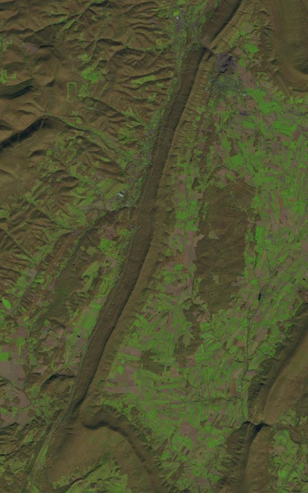 Dunning MountainSummit · ~18 min drivePhoto: James Stuby based on USGS/Landsat image, Public domain (via Wikimedia Commons)
- Aitch Picnic ShelterPier fishing · ~23 min drive
- MTB TrailMountain biking · ~27 min drive
Best time to visit Island Farm Trail
Best months: June–October. Best months have typical highs of 55–85 °F, lows of 30 °F or warmer (32 °F where the station doesn't record snow), at most one snowy day and no more than 12 wet days.
Jan
35° / 21°
11 wet
Feb
39° / 23°
10 wet
Mar
48° / 30°
12 wet
Apr
61° / 40°
13 wet
May
71° / 50°
14 wet
Jun
79° / 58°
12 wet
Jul
83° / 62°
12 wet
Aug
81° / 60°
11 wet
Sep
74° / 53°
10 wet
Oct
63° / 43°
11 wet
Nov
50° / 34°
10 wet
Dec
40° / 26°
11 wet
Typical high / low (°F) and days with rain or snow, 1991–2020. Measured at Altoona Blair Co Ap, PA, 7.4 mi away at 1,480 ft. The station sits about 500 ft higher than this place, so expect it a little warmer here. This station doesn't record snowfall. Source: NOAA NCEI U.S. Climate Normals 1991–2020.
Map and trail data © OpenStreetMap contributors
