Conashaugh View Trail
- 1.5 mi
- round trip
- 868 ft
- climb
- 914 ft
- high point
- Out and back
- route
- Apr, Jun–Oct
- best months
Is Conashaugh View Trail open right now?
Closure in the area
There's a closure order in Delaware Water Gap National Recreation Area. It doesn't name Conashaugh View Trail, so check the source for the area it covers (2 listed).
Old Mine Road North Construction Closure Begins April 6, 2026
Park closure covering Delaware Water Gap National Recreation Area · NPS · Delaware Water Gap National Recreation Area
Dingmans Falls Trail, Road, and Access Closed for Bridge Replacement
Park closure covering Delaware Water Gap National Recreation Area · NPS · Delaware Water Gap National Recreation Area
As of · Source: NPS · Delaware Water Gap National Recreation Area. Agencies don't list every closure — check before you go.
Conashaugh View Trail is a 3-mile out-and-back hike in Delaware Water Gap National Recreation Area in Pennsylvania, managed by the National Park Service. The trail rises from about 540 feet to a high point of 914 feet, with a total elevation gain of 868 feet over the round trip. The climb is front-loaded, with the steepest stretch at about 0.33 miles in, where the grade reaches 15 percent. The most comfortable months for a visit are typically late spring and early fall. Typical averages from a nearby weather station in Sussex, New Jersey, show May highs around 71°F and September highs around 74°F, with July the warmest month at about 83°F. The hike takes about 1.5 hours. Adams Creek Trail lies about a mile away, and Childs Park Trails, Hackers Trail and Cliff Trail are each roughly 3.3 miles off.
- Adams Creek TrailHiking1.1 mi
- Childs Park TrailsHiking3.3 mi
- Hackers TrailHiking3.3 mi
- Cliff TrailHiking3.3 mi
- Buchanan TrailHiking3.6 mi
- Pond Loop TrailHiking3.6 mi
- Quarry Path TrailHiking4.5 mi
 Milford Knob TrailHikingPhoto: Jag9889, CC BY-SA 4.0 (via Wikimedia Commons)4.6 mi
Source: Roamze catalog (indexable pages within 10 miles, PostGIS distance)
 George W. Childs Park Trail - AccessibleHiking · ~6 min drivePhoto: John Brighenti, CC BY 2.0 (via Flickr)
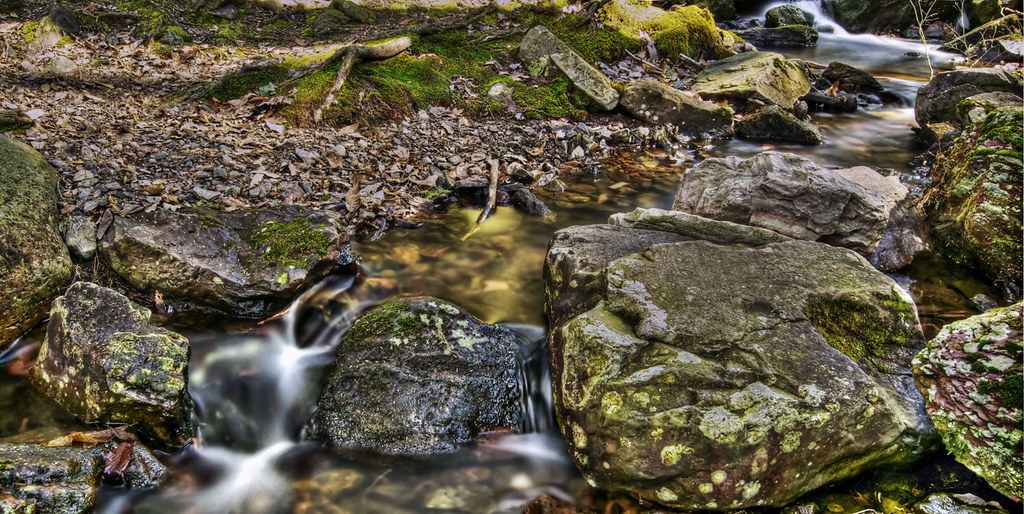 Steffen TrailHiking · ~11 min drivePhoto: j-dub1980(THANK YOU FOR 100k+ Views), CC BY-SA 2.0 (via Flickr)
- Conashaugh View TrailHiking · ~4 min drive
- Milford Knob TrailHiking · ~8 min drivePhoto: Jag9889, CC BY-SA 4.0 (via Wikimedia Commons)
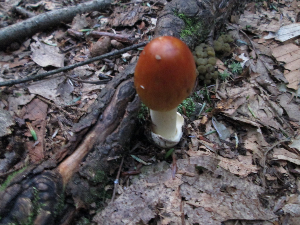 Tumbling Waters TrailHiking · ~11 min drivePhoto: wasp7ty, CC BY 2.0 (via Flickr)
 Hornbecks Creek TrailHiking · ~9 min drivePhoto: John Delacy, CC BY 3.0 (via Wikimedia Commons)
- Cliff TrailHiking · ~8 min drive
- Ridgeline TrailHiking · ~10 min drivePhoto: wasp7ty, CC BY 2.0 (via Flickr)
 Lead Mine TrailHiking · ~10 min drivePhoto: Garden State Hiker, CC BY 2.0 (via Flickr)
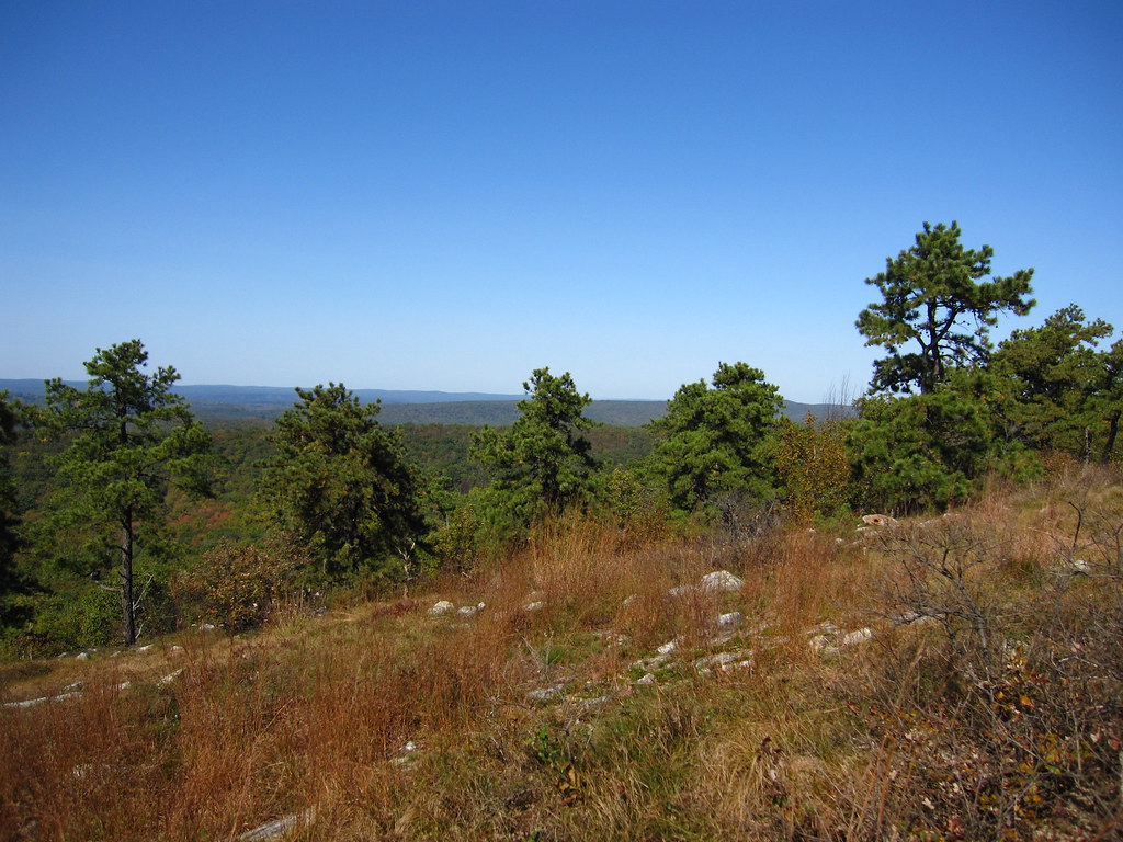 Coursen TrailHiking · ~10 min drivePhoto: cm195902, CC BY 2.0 (via Flickr)
Best time to visit Conashaugh View Trail
Best months: April and June–October. Best months have typical highs of 55–85 °F, lows of 30 °F or warmer (32 °F where the station doesn't record snow), at most one snowy day and no more than 12 wet days.
Jan
35° / 17°
11 wet · 5 snow
Feb
38° / 18°
9 wet · 5 snow
Mar
47° / 25°
11 wet · 3 snow
Apr
60° / 36°
12 wet
May
71° / 46°
13 wet
Jun
78° / 55°
11 wet
Jul
83° / 60°
11 wet
Aug
81° / 59°
11 wet
Sep
74° / 51°
10 wet
Oct
63° / 40°
11 wet
Nov
51° / 31°
10 wet · 1 snow
Dec
40° / 23°
11 wet · 3 snow
Typical high / low (°F) and days with rain or snow, 1991–2020. Measured at Sussex 3 Wnw, NJ, 10.5 mi away at 667 ft. Source: NOAA NCEI U.S. Climate Normals 1991–2020.

Map and trail data © OpenStreetMap contributors
