Childer's Ridge trail
- 1.3 mi
- round trip
- 963 ft
- climb
- 1,911 ft
- high point
- Out and back
- route
- Jul–Oct
- best months
Childer's Ridge trail is a short, easy out-and-back hike in Buchanan State Forest in Pennsylvania, managed by the State Department of Natural Resources. The route is about 2.6 miles long, with the high point at 1,911 feet and the low at 1,416 feet. The one-way climb is 466 feet, and the total round-trip gain is 963 feet. The steepest part comes right at the start, with a 27% grade, but it eases after that. The most comfortable months for a visit are late spring and early fall. Typical averages from the nearby Everett weather station run from highs around 72°F in May to 77°F in September, and the station sits well below the trail, so temperatures on the ridge run cooler. Several other trails start close by. Water Flat trail is about 0.3 miles away, Moseby trail is about 1.2 miles off, and Dug Hill Trail and Huckleberry trail are both within about 2 miles.
- Water Flat trailHiking0.3 mi
- Moseby trailHiking1.2 mi
- Dug Hill TrailHiking1.9 mi
- Huckleberry trailHiking2.1 mi
- Meredith trailHiking2.3 mi
- Old Mule PathHiking2.8 mi
- Tarkiln trailHiking4.1 mi
- Big Fill trailHiking4.2 mi
Source: Roamze catalog (indexable pages within 10 miles, PostGIS distance)
 Cabin trailHiking · ~8 min drivePhoto: Originally uploaded by Jgera5 (Transferred by xnatedawgx), Public domain (via Wikimedia Commons)
- Water Flat TrailHiking · ~2 min drive
- Sciotha trailHiking · ~8 min drivePhoto: Originally uploaded by Jgera5 (Transferred by xnatedawgx), Public domain (via Wikimedia Commons)
- Old Mule PathHiking · ~5 min drive
 Jerry Trail - northHiking · ~9 min drivePhoto: Jgera5 at English Wikipedia, Public domain (via Wikimedia Commons)
- Snow Field TrailHiking · ~7 min drive
- Prop trailHiking · ~9 min drivePhoto: Jgera5 at English Wikipedia, Public domain (via Wikimedia Commons)
- Hinish TrailHiking · ~7 min drive
- Cabin trailHiking · ~9 min drivePhoto: Originally uploaded by Jgera5 (Transferred by xnatedawgx), Public domain (via Wikimedia Commons)
- Red Bank trailHiking · ~8 min drive
Also worth it near here
- Wishart SwampLake fishing · ~2 min drive
- Weaver Falls ShelterCamping · ~18 min drive
 Great Trough CreekCanoeing · ~21 min drivePhoto: Ron Shawley, CC BY 3.0 (via Wikimedia Commons)
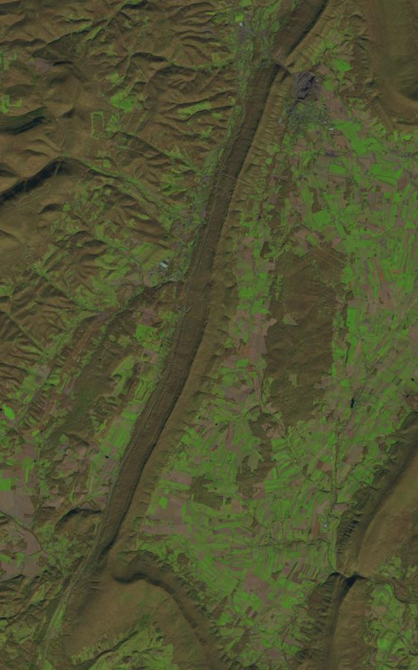 Dunning MountainSummit · ~28 min drivePhoto: James Stuby based on USGS/Landsat image, Public domain (via Wikimedia Commons)
Best time to visit Childer's Ridge trail
Best months: July–October. Best months have typical highs of 55–85 °F, lows of 30 °F or warmer (32 °F where the station doesn't record snow), at most one snowy day and no more than 12 wet days.
Jan
39° / 21°
11 wet · 3 snow
Feb
42° / 22°
10 wet · 4 snow
Mar
50° / 29°
12 wet · 2 snow
Apr
63° / 38°
13 wet
May
72° / 48°
14 wet
Jun
80° / 57°
13 wet
Jul
85° / 61°
12 wet
Aug
83° / 60°
11 wet
Sep
77° / 52°
10 wet
Oct
65° / 41°
10 wet
Nov
53° / 32°
9 wet · 1 snow
Dec
43° / 25°
10 wet · 2 snow
Typical high / low (°F) and days with rain or snow, 1991–2020. Measured at Everett, PA, 10.4 mi away at 1,000 ft. The station sits about 900 ft lower than this place, so expect it a little cooler here. Source: NOAA NCEI U.S. Climate Normals 1991–2020.
Map and trail data © OpenStreetMap contributors
