Bluebird Trail
- 0.3 mi
- loop
- 182 ft
- climb
- 1,161 ft
- high point
- Loop
- route
- Apr–Oct
- best months
Bluebird Trail is a short, easy loop in Ryerson Station State Park in Pennsylvania, managed by State Park and Recreation. The trail is 0.3 miles long and rises about 182 feet from its starting point at 1,065 feet to a high of 1,161 feet. The climb is front-loaded, with the steepest stretch at about 0.05 miles in, where the grade reaches 16 percent. The trail is a loop, so you return to your starting point. Late spring and early fall are the most comfortable times to go. Typical averages from a nearby weather station in Burton, West Virginia, show May highs around 75°F and September highs around 78°F, with July and August peaking near 84°F. The trail makes an easy addition to a longer walk in the park. Fox Feather Trail is just 0.1 mile away, and Lazear Trail and Three Mitten Trail are within half a mile. For paddling, Browns Creek is about 10 miles off.
- Fox Feather TrailHiking0.1 mi
- Lazear TrailHiking0.3 mi
- Three Mitten TrailHiking0.4 mi
- Tiffany Ridge TrailHiking0.6 mi
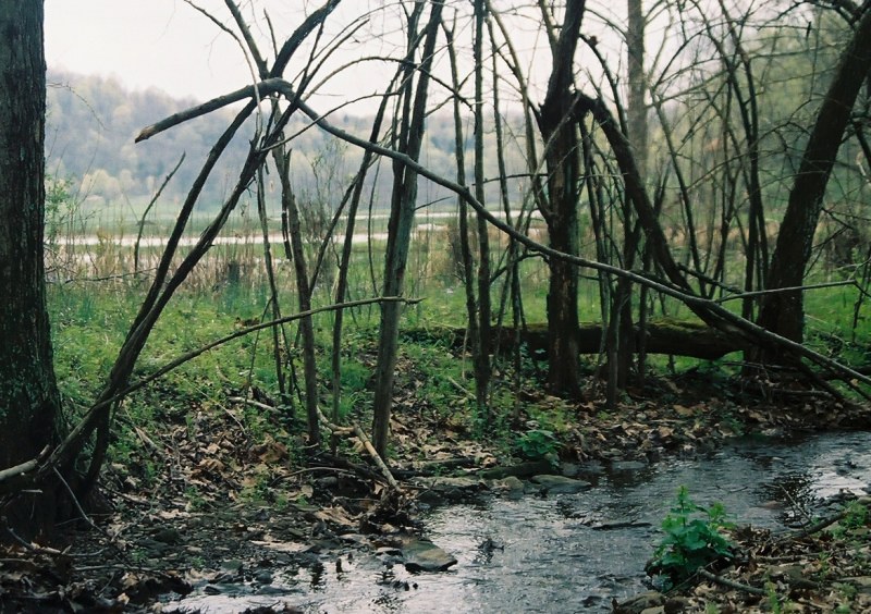 Box Turtle TrailHikingPhoto: crcollins, CC BY-SA 2.0 (via Flickr)0.6 mi
- Deer TrailHiking0.7 mi
- Polly Hollow TrailHiking0.8 mi
- Browns CreekCanoeing9.7 mi
Source: Roamze catalog (indexable pages within 10 miles, PostGIS distance)
- Box Turtle TrailHiking · ~1 min drivePhoto: crcollins, CC BY-SA 2.0 (via Flickr)
- Pine Box TrailHiking · ~2 min drive
- Fox Feather TrailHiking · Next door
- Warrior Trail (historical)Hiking · ~31 min drive
- Lazear TrailHiking · Next door
- Kiedaisch Wall TrailHiking · ~44 min drive
- Three Mitten TrailHiking · Next door
- Tiffany Ridge TrailHiking · ~1 min drive
- Deer TrailHiking · ~1 min drive
- Polly Hollow TrailHiking · ~1 min drive
Best time to visit Bluebird Trail
Best months: April–October. Best months have typical highs of 55–85 °F, lows of 30 °F or warmer (32 °F where the station doesn't record snow), at most one snowy day and no more than 12 wet days.
Jan
39° / 19°
Feb
43° / 21°
Mar
52° / 27°
Apr
65° / 36°
May
75° / 46°
Jun
81° / 55°
Jul
84° / 60°
Aug
84° / 58°
Sep
78° / 51°
Oct
66° / 39°
Nov
53° / 29°
Dec
43° / 24°
Typical high / low (°F) and days with rain or snow, 1991–2020. Measured at Burton, WV, 16.5 mi away at 1,240 ft. This station doesn't record snowfall. Source: NOAA NCEI U.S. Climate Normals 1991–2020.
Map and trail data © OpenStreetMap contributors
