Black Forest Trail
- 4.7 mi
- round trip
- 2,246 ft
- climb
- 2,186 ft
- high point
- Out and back
- route
- Aug–Sep
- best months
Black Forest Trail is an out-and-back hike in Tiadaghton State Forest in Pennsylvania, managed by the State Department of Natural Resources. The route is about 9.5 miles long, with a total elevation gain of 2,246 feet, and it is rated expert. The trail starts at an elevation of about 2,054 feet and reaches a high point of 2,186 feet, with the steepest stretch at about 4.5 miles in, where the grade reaches 25%. Summer is the most comfortable time to go. Typical averages from a nearby weather station in Wellsboro show July highs around 79°F with lows near 57°F, while September cools to highs around 70°F. That station sits about 370 feet lower than the trail's high point, so temperatures on the summit run cooler. The trip takes about 4.5 hours. Big Dam Hollow Trail and Dyer Pike Trail both lie within about a mile and a half, and Dyer CCC Camping Area is about 1.4 miles away. For paddling, Young Womans Creek is roughly 8 miles off.
Local outfitters
- Pine Creek Outfitters17 mi away
- Wild Asaph Outfitters22 mi away
Not on Roamze yet. Their page has how to reach them.
- Big Dam Hollow TrailHiking1 mi
- Dyer Pike TrailHiking1.3 mi
- Dyer CCC Camping AreaCamping1.4 mi
- Daugherty TrailHiking1.5 mi
- Rob Horse TrailHiking1.6 mi
- Kramer TrailHiking2.1 mi
- 12 Mile (Horsey Hilton) Camping AreaCamping3.5 mi
- Young Womans CreekCanoeing7.9 mi
Source: Roamze catalog (indexable pages within 10 miles, PostGIS distance)
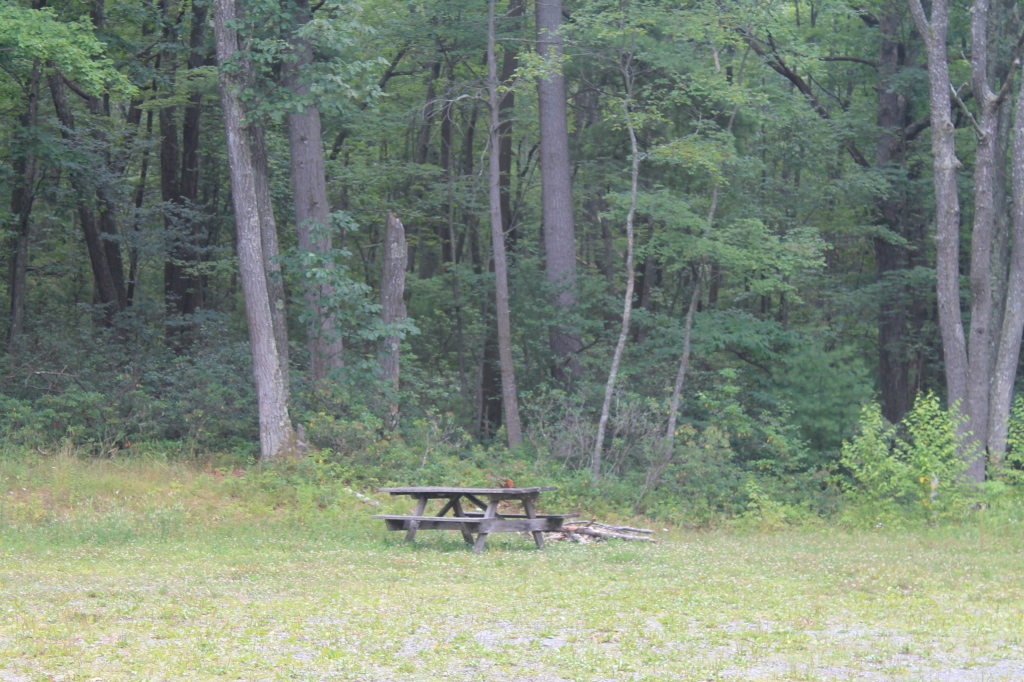 Pritchard TrailHiking · ~6 min drivePhoto: andyarthur, CC BY 2.0 (via Flickr)
- Daugherty TrailHiking · ~3 min drive
- Black Forest TrailHiking · ~6 min drive
- Black Forest TrailHiking · ~6 min drive
- Big Dam Hollow TrailHiking · ~2 min drive
- Rocky Run TrailHiking · ~6 min drive
- Naval Run TrailHiking · ~7 min drive
- Black Forest TrailHiking · ~8 min drive
- Dyer Pike TrailHiking · ~2 min drive
- Black Forest TrailHiking · ~6 min drive
Best time to visit Black Forest Trail
Best months: August–September. Best months have typical highs of 55–85 °F, lows of 30 °F or warmer (32 °F where the station doesn't record snow), at most one snowy day and no more than 12 wet days.
Jan
30° / 14°
14 wet
Feb
33° / 15°
12 wet
Mar
42° / 22°
13 wet
Apr
55° / 33°
13 wet
May
67° / 43°
14 wet
Jun
75° / 52°
13 wet
Jul
79° / 57°
13 wet
Aug
77° / 55°
12 wet
Sep
70° / 48°
11 wet
Oct
58° / 37°
13 wet
Nov
46° / 29°
12 wet
Dec
35° / 21°
14 wet
Typical high / low (°F) and days with rain or snow, 1991–2020. Measured at Wellsboro 4 Sw, PA, 16.3 mi away at 1,818 ft. This station doesn't record snowfall. Source: NOAA NCEI U.S. Climate Normals 1991–2020.
Map and trail data © OpenStreetMap contributors
