Nordjeuskald
- 1,363 ft
- summit
- Apr–Oct
- best months
Nordjeuskald is a summit of 1,363 feet in Ole Bull State Park in Pennsylvania, about 13 miles from the town of North Bend. It sits within the park's network of trails, with Castle Vista Trail and the Susquehannock Trail both passing within a tenth of a mile of the top. Late spring and early fall are the most comfortable times to visit. Typical averages from a nearby weather station show May highs around 70°F and September highs around 74°F, while July peaks near 82°F and January highs sit in the mid-30s. Several trails start close by. Castle Vista Trail and the Susquehannock Trail are each about 0.1 mile away, and Big Spring Ridge Trail is roughly 3 miles off. For an overnight stay, 12 Mile (Horsey Hilton) Camping Area is about 3.3 miles away.
Conditions and forecast
Daily highs and lows, wind and the chance of precipitation at the summit for the next 7 days, from the Open-Meteo model.
- Summit elevation
- 1,363 ft
Elevation from USGS 3D Elevation Program terrain data (about 10 m resolution).
We don't know of a mapped trail or route to the summit of Nordjeuskald. Plan the approach with local maps, a guidebook or a local guide, and check conditions before you go.
Questions about Nordjeuskald
How tall is Nordjeuskald?
1,363 ft (415 m).
Is there a trail to the top of Nordjeuskald?
We don't know of a mapped trail or route to the summit. Plan the approach with local maps, a guidebook or a local guide.
- Fork Hill1,918 ft · Pennsylvania1 route12 mi away
- Savage Mountain2,169 ft · Pennsylvania1 route19 mi away
- Tannery Hill1,989 ft · Pennsylvania1 route20 mi away
- Houselander Mountain1,920 ft · Pennsylvania1 route28 mi away
- Round Top1,767 ft · Pennsylvania1 route34 mi away
- Riansares Mountain2,323 ft · Pennsylvania1 route38 mi away
- Castle Vista TrailHiking0.1 mi
- Susquehannock TrailHiking0.1 mi
- Big Spring Ridge TrailHiking3.1 mi
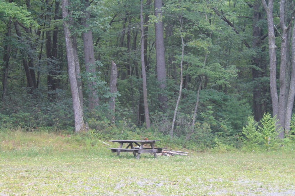 Pritchard TrailHikingPhoto: andyarthur, CC BY 2.0 (via Flickr)3.2 mi
- 12 Mile (Horsey Hilton) Camping AreaCamping3.3 mi
- Lost Camp TrailHiking3.3 mi
- Dyer CCC Camping AreaCamping5.1 mi
- Young Womans CreekCanoeing8.3 mi
Source: Roamze catalog (indexable pages within 10 miles, PostGIS distance)
 Nippenose MountainSummit · ~1h 7m drivePhoto: Nicholas A. Tonelli from Northeast Pennsylvania, USA, CC BY 2.0 (via Wikimedia Commons)
- Fork HillSummit · ~20 min drive
- Savage MountainSummit · ~33 min drive
- Tannery HillSummit · ~35 min drive
- Houselander MountainSummit · ~48 min drive
- Round TopSummit · ~59 min drive
- Riansares MountainSummit · ~1h 5m drive
- Sullivan MountainSummit · ~1h 13m drive
- Sharp TopSummit · ~1h 18m drive
- Smiths KnobSummit · ~1h 21m drive
Best time to visit Nordjeuskald
Best months: April–October. Best months have typical highs of 55–85 °F, lows of 30 °F or warmer (32 °F where the station doesn't record snow), at most one snowy day and no more than 12 wet days.
Jan
34° / 18°
Feb
38° / 18°
Mar
47° / 25°
Apr
59° / 35°
May
70° / 47°
Jun
78° / 55°
Jul
82° / 59°
Aug
80° / 59°
Sep
74° / 52°
Oct
61° / 42°
Nov
49° / 31°
Dec
38° / 26°
Typical high / low (°F) and days with rain or snow, 1991–2020. Measured at Alvin R Bush Dam, PA, 16.4 mi away at 930 ft. This station doesn't record snowfall. Source: NOAA NCEI U.S. Climate Normals 1991–2020.
