Baker Trail
- 3.0 mi
- round trip
- 1,607 ft
- climb
- 1,072 ft
- high point
- Out and back
- route
- Jul–Sep
- best months
Clear at last check
Weather is good · OpenWeather · checked 13 h ago
Baker Trail is a 5.9-mile out-and-back hike in Pennsylvania, about 2.2 miles from the town of Top. The trail rises steadily from a starting point at about 1,053 feet to a high point of 1,072 feet, with a total elevation gain of 1,607 feet over the round trip. The climb is moderate, and the steepest stretch comes early, around 0.32 miles from the start, with a grade of about 11 percent. Late spring and early fall are the most comfortable times to go. Typical averages from a nearby weather station show May highs around 72°F and September highs around 76°F, with July the warmest month at about 84°F. The trip takes about three hours. Damsite and Spillway Recreation Area, about a mile away, and Hancock Bend Boat Launch and Recreation Area, about 1.5 miles off, offer camping. Shrub Swamp Trail and Laurel Point Trail are both within about 1.6 miles.
Local outfitters
- Venture Outdoors28 mi away
Not on Roamze yet. Their page has how to reach them.
- Damsite and Spillway Recreation AreaCamping1.1 mi
 Shrub Swamp TrailHikingPhoto: Margaret Luzier, U.S. Army Corps of Engineers, Public domain (via Wikimedia Commons)1.4 mi
- Hancock Bend Boat Launch and Recreation AreaCamping1.5 mi
- Laurel Point TrailHiking1.6 mi
- Ford City Riverfront TrailHiking4.8 mi
Source: Roamze catalog (indexable pages within 10 miles, PostGIS distance)
- Baker TrailHiking · ~2 min drivePhoto: Margaret Luzier, U.S. Army Corps of Engineers, Public domain (via Wikimedia Commons)
- Shrub Swamp TrailHiking · ~2 min drivePhoto: Margaret Luzier, U.S. Army Corps of Engineers, Public domain (via Wikimedia Commons)
- Rachel Carson TrailHiking · ~30 min drive
- Baker TrailHiking · ~3 min drive
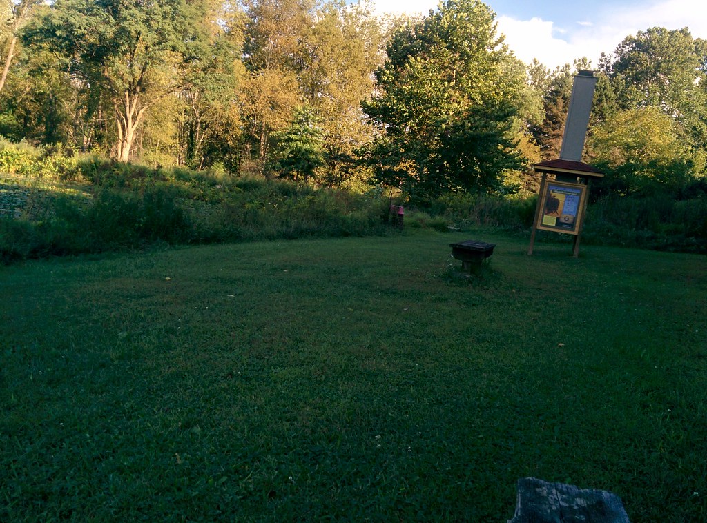 Scouts TrailHiking · ~20 min drivePhoto: hhm8, CC BY 2.0 (via Flickr)
- Baker TrailHiking · ~4 min drive
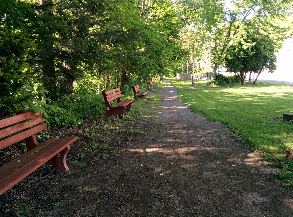 West Penn Trail - Kiski ExtensionHiking · ~26 min drivePhoto: hhm8, CC BY 2.0 (via Flickr)
- Baker TrailHiking · ~4 min drive
 West Penn Trail - Saltsburg to Kiski Section ConnectionHiking · ~27 min drivePhoto: Margaret Luzier, U.S. Army Corps of Engineers, Public domain (via Wikimedia Commons)
- Baker TrailHiking · ~5 min drive
Best time to visit Baker Trail
Best months: July–September. Best months have typical highs of 55–85 °F, lows of 30 °F or warmer (32 °F where the station doesn't record snow), at most one snowy day and no more than 12 wet days.
Jan
36° / 17°
16 wet
Feb
39° / 18°
14 wet
Mar
48° / 26°
14 wet
Apr
62° / 35°
14 wet
May
72° / 46°
15 wet
Jun
80° / 55°
13 wet
Jul
84° / 59°
12 wet
Aug
82° / 58°
11 wet
Sep
76° / 50°
11 wet
Oct
64° / 39°
13 wet
Nov
51° / 30°
14 wet
Dec
40° / 23°
16 wet
Typical high / low (°F) and days with rain or snow, 1991–2020. Measured at Ford City 4 S Dam, PA, 1.4 mi away at 930 ft. This station doesn't record snowfall. Source: NOAA NCEI U.S. Climate Normals 1991–2020.
Map and trail data © OpenStreetMap contributors
