Adams Township Park Walking Path
- 1.3 mi
- loop
- 176 ft
- climb
- 1,254 ft
- high point
- Loop
- route
- Jul–Sep
- best months
Adams Township Park Walking Path is a short, easy loop in western Pennsylvania, about 1.3 miles long and roughly 176 feet of elevation gain and loss. It sits within Community Park 6, on city land, and starts at an elevation of about 1,206 feet. The route is a loop, so you return to your starting point, and the steepest stretch comes at about 0.9 miles in, with a grade of about 7 percent. Late spring and early fall are the most comfortable times to go. Typical averages from a nearby weather station in Butler put May highs around 70°F and September highs around 74°F, with July the warmest month at about 82°F. Glade Run, a canoeing spot, is about 2.8 miles away. The Skyline Trail (Green) and the North Ridge Trail (Red Blazes) are both within about 6.6 miles, and the Rachel Carson Trail is about 6.6 miles off.
Local outfitters
- Venture Outdoors7 mi away
Not on Roamze yet. Their page has how to reach them.
- Glade RunCanoeing2.8 mi
- SidewalkHiking5.8 mi
- Skyline Trail (Green)Hiking6.5 mi
- North Ridge Trail (Red Blazes)Hiking6.6 mi
- Rachel Carson TrailHiking6.6 mi
- Squirrel Trail (Spur Trail) (Purple)Hiking6.7 mi
- Nature Access Trail (Braille Trail) (Red)Hiking6.8 mi
- Pigeon Field Trail (Walter's Field) (White)Hiking6.9 mi
Source: Roamze catalog (indexable pages within 10 miles, PostGIS distance)
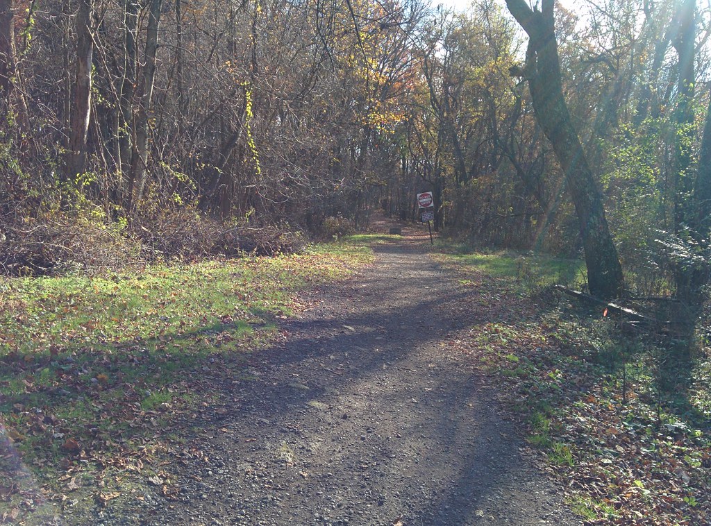 White / Green Dot TrailHiking · ~14 min drivePhoto: hhm8, CC BY 2.0 (via Flickr)
- Rachel Carson TrailHiking · ~11 min drive
- Red / Blue Dot TrailHiking · ~13 min drive
- Rachel Carson TrailHiking · ~16 min drive
 Contour TrailHiking · ~15 min drivePhoto: hhm8, CC BY 2.0 (via Flickr)
- Rachel Carson TrailHiking · ~12 min drive
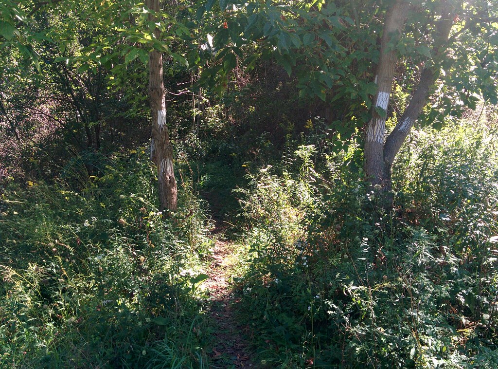 Lower RidgeHiking · ~17 min drivePhoto: hhm8, CC BY 2.0 (via Flickr)
- Rachel Carson TrailHiking · ~12 min drive
- SidewalkHiking · ~10 min drive
- Orange TrailHiking · ~13 min drive
Best time to visit Adams Township Park Walking Path
Best months: July–September. Best months have typical highs of 55–85 °F, lows of 30 °F or warmer (32 °F where the station doesn't record snow), at most one snowy day and no more than 12 wet days.
Jan
34° / 17°
18 wet
Feb
37° / 18°
15 wet
Mar
46° / 25°
14 wet
Apr
60° / 35°
14 wet
May
70° / 45°
15 wet
Jun
78° / 54°
13 wet
Jul
82° / 58°
12 wet
Aug
81° / 57°
12 wet
Sep
74° / 50°
11 wet
Oct
62° / 39°
13 wet
Nov
50° / 30°
14 wet
Dec
39° / 23°
17 wet
Typical high / low (°F) and days with rain or snow, 1991–2020. Measured at Butler 2 Sw, PA, 9.7 mi away at 1,000 ft. This station doesn't record snowfall. Source: NOAA NCEI U.S. Climate Normals 1991–2020.
Map and trail data © OpenStreetMap contributors
