5th New York Cavalry Trail
- 0.5 mi
- round trip
- 224 ft
- climb
- 569 ft
- high point
- Out and back
- route
- Apr–Jun, Aug–Nov
- best months
Is 5th New York Cavalry Trail open right now?
No closures listed
The National Park Service lists no closures for Gettysburg National Military Park.
As of · Source: NPS · Gettysburg National Military Park. Agencies don't list every closure — check before you go.
The 5th New York Cavalry Trail is a short, easy out-and-back hike in Gettysburg National Military Park in Pennsylvania, managed by the National Park Service. The route is about a mile long, with a total elevation gain of 224 feet, and it starts and ends at roughly 550 feet. The trail's high point is about 570 feet, and the steepest stretch comes at about 0.3 miles in, with a grade of about 6 percent. The trail is free to use, and it makes a quick addition to a visit to the park. Late spring and early fall are the most comfortable times to go. Typical averages from a nearby weather station show May highs around 73°F and September highs around 78°F, with July peaking near 86°F. The Big Round Top Loop Trail lies about 0.3 miles away, and the Big Round Top Tower Trail and the Big Round Top Social Trail are each about half a mile off. Climbers can find Devils Den, Main about 0.6 miles away.
Local outfitters
- Gettysburg Licensed Town Guides3 mi away
Not on Roamze yet. Their page has how to reach them.
- Big Round Top Loop TrailHiking0.3 mi
- Big Round Top Tower TrailHiking0.5 mi
- Big Round Top Social TrailHiking0.5 mi
- Historic Bushman House (Gettysburg)Camping0.5 mi
 Plum RunRock climbingPhoto: Ron Shawley, CC BY 3.0 (via Wikimedia Commons)0.6 mi
 Devils Den, MainRock climbingPhoto: Ron Shawley, CC BY 3.0 (via Wikimedia Commons)0.6 mi
- Rock CreekCanoeing2.2 mi
- Middle CreekCanoeing4.9 mi
Source: Roamze catalog (indexable pages within 10 miles, PostGIS distance)
 Electric Railway Bed TrailHiking · Next doorPhoto: John Brighenti, CC BY 2.0 (via Flickr)
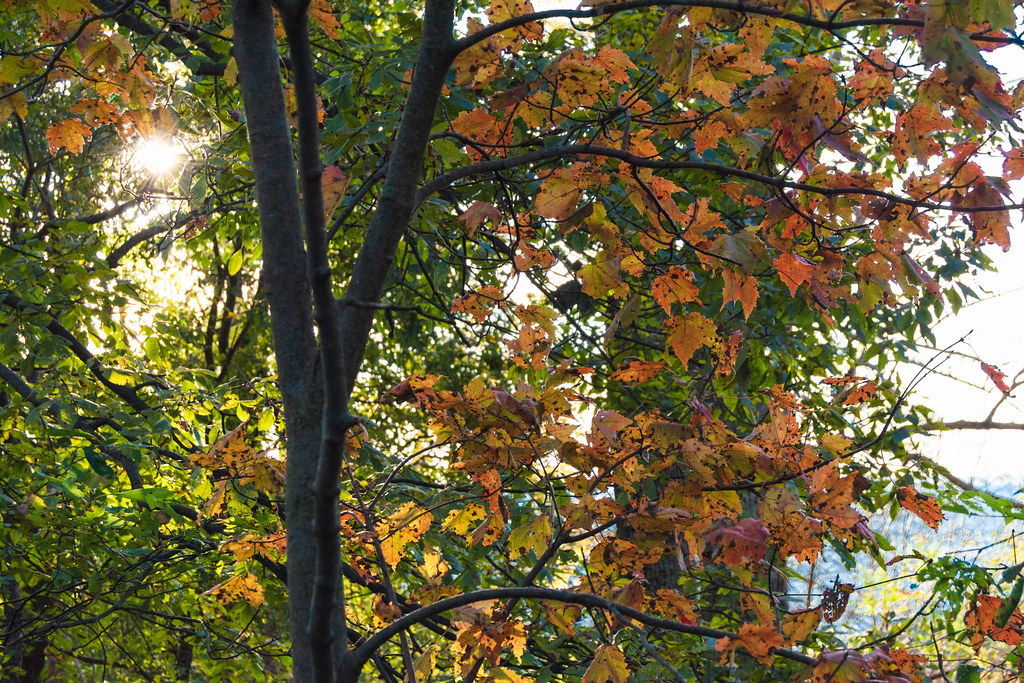 Thurmont Vista OverlookHiking · ~24 min drivePhoto: beyond_the_sea01, Public Domain Mark (via Flickr)
- Appalachian National Scenic TrailHiking · ~25 min drive
- TR-6 Charcoal TrailHiking · ~24 min drivePhoto: beyond_the_sea01, Public Domain Mark (via Flickr)
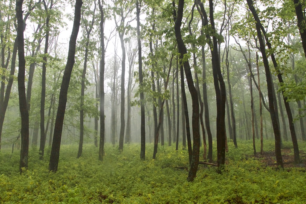 TR-5 Blue Ridge Summit TrailHiking · ~25 min drivePhoto: beyond_the_sea01, Public Domain Mark (via Flickr)
- Charcoal Exhibit TrailHiking · ~24 min drivePhoto: beyond_the_sea01, Public Domain Mark (via Flickr)
 TR-2 Crows Nest TrailHiking · ~25 min drivePhoto: John Brighenti, CC BY 2.0 (via Flickr)
- Thurmont Vista Loop TrailHiking · ~25 min drivePhoto: beyond_the_sea01, Public Domain Mark (via Flickr)
- Gateway TrailHiking · ~25 min drivePhoto: John Brighenti, CC BY 2.0 (via Flickr)
- TR-4 Whiskey Still TrailHiking · ~25 min drivePhoto: beyond_the_sea01, Public Domain Mark (via Flickr)
Also worth it near here
- Plum RunRock climbing · ~1 min drivePhoto: Ron Shawley, CC BY 3.0 (via Wikimedia Commons)
- Rock CreekCanoeing · ~4 min drive
- Journey Through Hallowed Ground BywayScenic drive · ~6 min drive
 Chimney RockSummit · ~25 min drivePhoto: Unknown authorUnknown author or not provided, Public domain (via Wikimedia Commons)
Best time to visit 5th New York Cavalry Trail
Best months: April–June and August–November. Best months have typical highs of 55–85 °F, lows of 30 °F or warmer (32 °F where the station doesn't record snow), at most one snowy day and no more than 12 wet days.
Jan
40° / 21°
8 wet
Feb
43° / 22°
7 wet
Mar
52° / 30°
9 wet
Apr
64° / 40°
10 wet
May
73° / 49°
11 wet
Jun
82° / 57°
10 wet
Jul
86° / 63°
9 wet
Aug
85° / 61°
8 wet
Sep
78° / 54°
8 wet
Oct
66° / 43°
8 wet
Nov
56° / 32°
8 wet
Dec
45° / 26°
8 wet
Typical high / low (°F) and days with rain or snow, 1991–2020. Measured at Eisenhower Nhs, PA, 1.8 mi away at 540 ft. This station doesn't record snowfall. Source: NOAA NCEI U.S. Climate Normals 1991–2020.
