Moose Creek Falls
- 1,072 ft
- elevation
- Jun–Oct
- best months
Caution today
Agency alerts are in effect for this area; weather is good · USFS, OpenWeather · checked just now
Is Moose Creek Falls open right now?
Closure in the area
There's a closure order in Willamette National Forest. It doesn't name Moose Creek Falls, so check the source for the area it covers.
Cedar Creek Fire Closure
Agency closure covering Willamette National Forest · Order 06-18-10-26-04 · USFS · Willamette National Forest
FIRE CLOSURES: Current wildfire closures on the Willamette National Forest
Agency alert covering Willamette National Forest · USFS · Willamette National Forest
As of · Source: USFS · Willamette National Forest. Agencies don't list every closure — check before you go.
Moose Creek Falls is a waterfall in the Sweet Home Ranger District of the Willamette National Forest in Oregon, about 3 miles from the town of Cascadia. It sits at roughly 1,070 feet, and the surrounding forest country makes it an easy addition to a day spent exploring the area's trails, paddling waters and camping spots. Summer is the most comfortable time to visit. Typical averages from a nearby weather station in Cascadia show July and August highs around 79 to 80°F with only about four wet days a month, while winter months bring highs in the mid-40s and rain on most days. Several other outings lie within a few miles. Lower Soda Creek Falls Trail and River Trail are both about 2 miles away, Moose Creek offers canoeing about 3.6 miles off, and Longbow Organizational Camp is about 3.8 miles away for an overnight stay.
- Elevation
- 1,072 ft
Elevation from USGS 3D Elevation Program terrain data (about 10 m resolution).
 Lower Soda Creek Falls TrailHikingPhoto: Bonnie Moreland (free images), Public Domain Dedication (CC0) (via Flickr)2 mi
- River TrailHiking2.1 mi
- Moose CreekCanoeing3.6 mi
- Longbow Organizational CampCamping3.8 mi
- Trout CreekCamping4.5 mi
 South Santiam RiverCanoeingPhoto: Peteforsyth, CC0 (via Wikimedia Commons)5 mi
- Lower MenagerieRock climbing6.7 mi
- Garden CliffsRock climbing7 mi
Source: Roamze catalog (indexable pages within 10 miles, PostGIS distance)
 Koosah FallsWaterfall · ~38 min drivePhoto: icetsarina, CC BY-SA 4.0 (via Wikimedia Commons)
 Shellburg FallsWaterfall · ~50 min drivePhoto: Jamie B., CC BY 2.0 (via Wikimedia Commons)
 Henline FallsWaterfall · ~53 min drivePhoto: Thehike675, CC BY-SA 4.0 (via Wikimedia Commons)
 Winter FallsWaterfall · ~59 min drivePhoto: Little Mountain 5, CC BY-SA 3.0 (via Wikimedia Commons)
 Middle North FallsWaterfall · ~60 min drivePhoto: Little Mountain 5, CC BY-SA 4.0 (via Wikimedia Commons)
 Lower South FallsWaterfall · ~60 min drivePhoto: Little Mountain 5, CC BY-SA 3.0 (via Wikimedia Commons)
 Drake FallsWaterfall · ~1h drivePhoto: Little Mountain 5, CC BY-SA 3.0 (via Wikimedia Commons)
 Lower North FallsWaterfall · ~1h drivePhoto: Little Mountain 5, CC BY-SA 3.0 (via Wikimedia Commons)
 Sahalie FallsWaterfall · ~38 min drivePhoto: Kingofthedead, CC BY-SA 4.0 (via Wikimedia Commons)
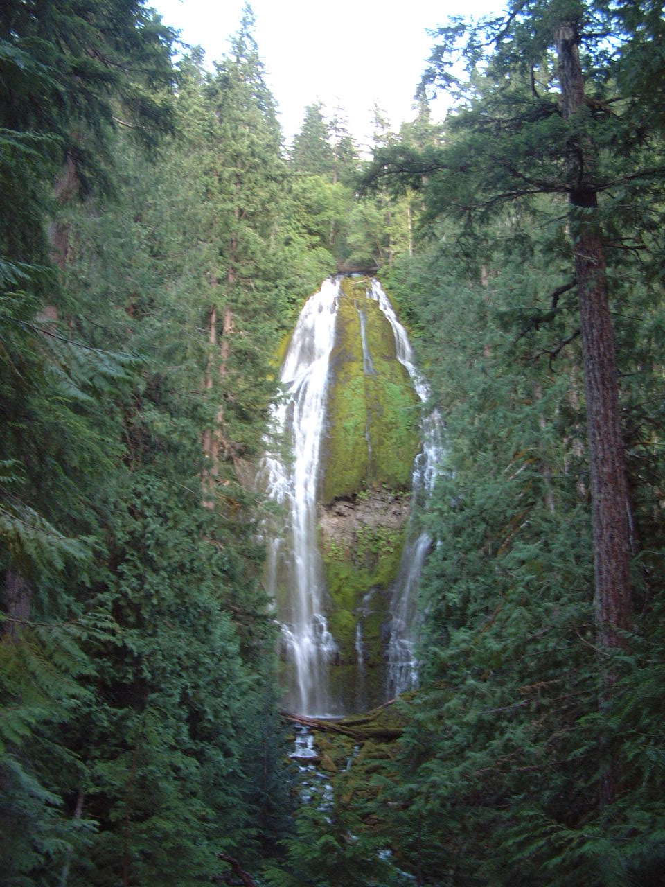 Proxy FallsWaterfall · ~52 min drivePhoto: Ljmajer, Public domain (via Wikimedia Commons)
Also worth it near here
Best time to visit Moose Creek Falls
Best months: June–October. Best months have typical highs of 55–85 °F, lows of 30 °F or warmer (32 °F where the station doesn't record snow), at most one snowy day and no more than 12 wet days.
Jan
45° / 33°
19 wet
Feb
50° / 33°
16 wet
Mar
54° / 34°
19 wet
Apr
58° / 37°
18 wet
May
65° / 42°
14 wet
Jun
70° / 46°
10 wet
Jul
79° / 49°
4 wet
Aug
80° / 47°
4 wet
Sep
74° / 44°
6 wet
Oct
62° / 39°
12 wet
Nov
50° / 35°
18 wet
Dec
44° / 33°
19 wet
Typical high / low (°F) and days with rain or snow, 1991–2020. Measured at Cascadia, OR, 2.2 mi away at 960 ft. This station doesn't record snowfall. Source: NOAA NCEI U.S. Climate Normals 1991–2020.
