Mill Creek Falls
- 1,398 ft
- elevation
- Mar–Jun, Sep–Oct
- best months
Clear today
Weather is good · OpenWeather · checked 6 h ago
Mill Creek Falls is a waterfall in Oregon, sitting at about 1,400 feet in elevation roughly 8 miles from the town of Chenoweth. It is a simple destination, a single waterfall rather than a route with a climb or a trail to plan around. Late spring and early fall are the most comfortable times to visit. Typical averages from the nearby Dufur weather station show May highs around 72°F and September highs around 79°F, with July and August warming to the upper 80s. Winter brings frequent wet days and a few snow days each month from December through February. Several other spots lie within about 9 miles. Mosier Creek, a canoeing route, is about 7 miles away, and the Oak Ridge Trail and Waterfall Trail are both a little over 8 miles off. For an overnight stay, Knebal Springs Campground is about 9 miles away.
- Elevation
- 1,398 ft
Elevation from USGS 3D Elevation Program terrain data (about 10 m resolution).
- Mosier CreekCanoeing7.1 mi
- Oak Ridge TrailHiking8.3 mi
- Upper Bench TrailHiking8.3 mi
- Waterfall TrailHiking8.4 mi
- Eightmile CreekCanoeing8.7 mi
- Lower Eight Mile CrossingCamping8.8 mi
- Knebal Springs CgCamping9 mi
- UnderhillCamping9.3 mi
Source: Roamze catalog (indexable pages within 10 miles, PostGIS distance)
 Celestial FallsWaterfall · ~38 min drivePhoto: Bobjgalindo, CC BY-SA 4.0 (via Wikimedia Commons)
 Sherars FallsWaterfall · ~40 min drivePhoto: Bobjgalindo, CC BY-SA 4.0 (via Wikimedia Commons)
 Ramona FallsWaterfall · ~40 min drivePhoto: Howard Kang, CC BY-SA 2.0 (via Wikimedia Commons)
 Elowah FallsWaterfall · ~56 min drivePhoto: Walter Siegmund (talk), CC BY-SA 3.0 (via Wikimedia Commons)
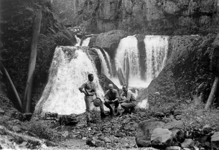 Frustration FallsWaterfall · ~57 min drivePhoto: Unknown authorUnknown author; U.S. Forest Service, Public domain (via Wikimedia Commons)
 Wiesendanger FallsWaterfall · ~1h 4m drivePhoto: Mattsjc, CC BY-SA 4.0 (via Wikimedia Commons)
 Multnomah FallsWaterfall · ~1h 5m drivePhoto: John Fowler from Placitas, NM, USA, CC BY 2.0 (via Wikimedia Commons)
 Wahkeena FallsWaterfall · ~1h 6m drivePhoto: Wahkeenah at English Wikipedia, Public domain (via Wikimedia Commons)
 Metlako FallsWaterfall · ~48 min drivePhoto: Steve Berardi, CC BY-SA 2.0 (via Wikimedia Commons)
- Punchbowl FallsWaterfall · ~27 min drive
Also worth it near here
 North Section LineMountain biking · ~13 min drivePhoto: sandyriverfisher, CC BY-SA 3.0 (via Wikimedia Commons)
 Rim TrailHiking · ~15 min drivePhoto: inkknife_2000 (7.5 million views +), CC BY-SA 2.0 (via Wikimedia Commons)
 Fifteenmile CreekCanoeing · ~17 min drivePhoto: Finetooth, CC BY-SA 4.0 (via Wikimedia Commons)
- Campfire bouldersRock climbing · ~18 min drive
Best time to visit Mill Creek Falls
Best months: March–June and September–October. Best months have typical highs of 55–85 °F, lows of 30 °F or warmer (32 °F where the station doesn't record snow), at most one snowy day and no more than 12 wet days.
Jan
41° / 27°
15 wet · 4 snow
Feb
47° / 29°
12 wet · 2 snow
Mar
56° / 31°
12 wet · 1 snow
Apr
63° / 36°
10 wet
May
72° / 41°
8 wet
Jun
79° / 45°
5 wet
Jul
89° / 51°
3 wet
Aug
88° / 50°
2 wet
Sep
79° / 45°
4 wet
Oct
64° / 37°
9 wet
Nov
48° / 31°
14 wet · 1 snow
Dec
39° / 27°
17 wet · 4 snow
Typical high / low (°F) and days with rain or snow, 1991–2020. Measured at Dufur, OR, 11 mi away at 1,330 ft. Source: NOAA NCEI U.S. Climate Normals 1991–2020.
