Twisted Pine
- 2.2 mi
- round trip
- 211 ft
- climb
- 4,874 ft
- high point
- Out and back
- route
Twisted Pine is a 2.2-mile out-and-back cross-country ski route on the Chemult Ranger District of Oregon's Fremont-Winema National Forest. The Forest Service manages the surrounding land, and the route's low point sits at 4,737 feet, with the high point at 4,874 feet. The climb is front-loaded, with the steepest stretch at 0.25 miles, a 13% grade. The total gain and loss are each about 211 feet, making this a short, easy outing. Winter is the natural season for this ski route. Typical averages from a nearby weather station in Chemult show January highs around 37°F and lows near 15°F, with more frequent wet days in December and January than in midsummer, when July and August highs reach the low 80s and wet days are rare. Jill's Hill lies just 0.2 miles away, and Pine Knob Loop and Twinkle Loop are each within a mile. For an overnight stay, Corral Springs Campground is about 1.3 miles off.
- Jill's HillCross-country skiing0.2 mi
- Pine Knob LoopCross-country skiing0.5 mi
- Twinkle LoopCross-country skiing0.6 mi
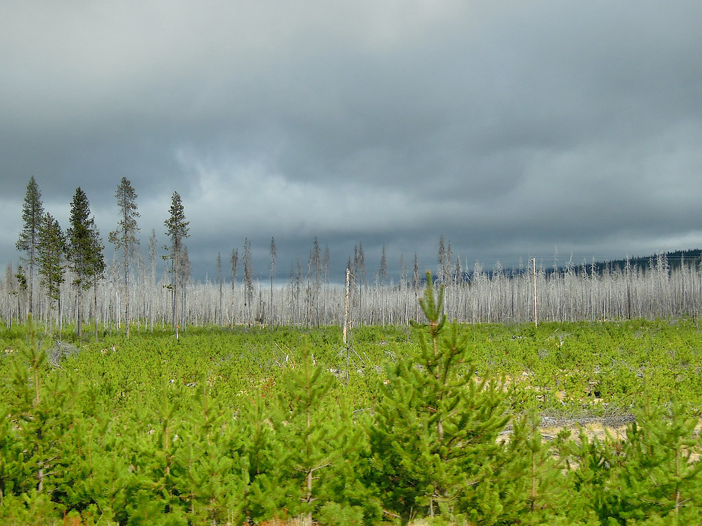 PLAY LOOPHikingPhoto: Juhele_CZ, Public Domain Dedication (CC0) (via Flickr)0.7 mi
- CORRAL SPRINGS LOOPHiking0.7 mi
- OUTER RUNNER LOOPHikingPhoto: Juhele_CZ, Public Domain Dedication (CC0) (via Flickr)0.8 mi
- Corral Springs CampgroundCamping1.3 mi
- Digit Point CampgroundCamping8 mi
Source: Roamze catalog (indexable pages within 10 miles, PostGIS distance)
