Jill's Hill
- 3.8 mi
- round trip
- 406 ft
- climb
- 4,999 ft
- high point
- Out and back
- route
- Jun–Aug
- best months
Is Jill's Hill open right now?
No closures listed
The Forest Service lists no closures for Fremont-Winema National Forest.
As of · Source: USFS · Fremont-Winema National Forest. Agencies don't list every closure — check before you go.
Jill's Hill is a 3.8-mile out-and-back cross-country ski route in the Chemult Ranger District of the Fremont-Winema National Forest in Oregon. The Forest Service manages the land. The trail climbs about 259 feet one way, from a starting elevation of 4,759 feet to a high point of 4,999 feet, with the steepest stretch at about 13% grade near the 0.6-mile mark. Winter is the natural season for this route. Typical averages from a nearby weather station at Chemult, at a similar elevation, show January highs around 37°F with lows near 15°F, while July highs reach about 83°F. That station sits a few hundred feet lower, so temperatures on the hill run a little cooler. Twisted Pine and Pine Knob Loop are both within half a mile. Corral Springs Campground, about 1.3 miles away, is the closest place to camp. Hikers can also find Corral Springs Loop just under a mile off.
Local outfitters
- Diamond Lake Resort18 mi away
- Shelter Cove Resort & Marina26 mi away
Not on Roamze yet. Their page has how to reach them.
- Twisted PineCross-country skiing0.2 mi
- Pine Knob LoopCross-country skiing0.4 mi
- Twinkle LoopCross-country skiing0.7 mi
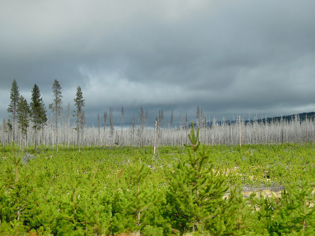 PLAY LOOPHikingPhoto: Juhele_CZ, Public Domain Dedication (CC0) (via Flickr)0.8 mi
- OUTER RUNNER LOOPHikingPhoto: Juhele_CZ, Public Domain Dedication (CC0) (via Flickr)0.8 mi
- CORRAL SPRINGS LOOPHiking0.9 mi
- Corral Springs CampgroundCamping1.3 mi
- Digit Point CampgroundCamping8.2 mi
Source: Roamze catalog (indexable pages within 10 miles, PostGIS distance)
- Twisted PineCross-country skiing · Next door
- Twinkle TieCross-country skiing · Next door
- Twinkle LoopCross-country skiing · ~1 min drive
- Bear Creek SnomoCross-country skiing · ~32 min drive
- Pine Knob LoopCross-country skiing · Next door
- Outer Runner LoopCross-country skiing · ~1 min drive
- Kelsay Mtn. Loop SnomoCross-country skiing · ~31 min drive
- Maklaks Nordic LoopCross-country skiing · ~39 min drive
- Runner LoopCross-country skiing · ~2 min drive
- Thielsen Creek Xc-SkiCross-country skiing · ~24 min drive
Also worth it near here
Best time to visit Jill's Hill
Best months: June–August. Best months have typical highs of 55–85 °F, lows of 30 °F or warmer (32 °F where the station doesn't record snow), at most one snowy day and no more than 12 wet days.
Jan
37° / 15°
13 wet
Feb
41° / 17°
11 wet
Mar
47° / 21°
11 wet
Apr
53° / 24°
10 wet
May
63° / 30°
9 wet
Jun
72° / 34°
5 wet
Jul
83° / 39°
3 wet
Aug
82° / 37°
2 wet
Sep
75° / 30°
3 wet
Oct
61° / 24°
7 wet
Nov
44° / 21°
12 wet
Dec
36° / 15°
14 wet
Typical high / low (°F) and days with rain or snow, 1991–2020. Measured at Chemult, OR, 1 mi away at 4,760 ft. This station doesn't record snowfall. Source: NOAA NCEI U.S. Climate Normals 1991–2020.


