Cold Water Cove - Willamette NF
Campground
Campground · 1.0 mi from the trail
Closure in the area
There's a closure order in Willamette National Forest. It doesn't name Isaac Nickerson Loop, so check the source for the area it covers.
Cedar Creek Fire Closure
Agency closure covering Willamette National Forest · Order 06-18-10-26-04 · USFS · Willamette National Forest
FIRE CLOSURES: Current wildfire closures on the Willamette National Forest
Agency alert covering Willamette National Forest · USFS · Willamette National Forest
As of · Source: USFS · Willamette National Forest. Agencies don't list every closure — check before you go.
Isaac Nickerson Loop is a 5.8-mile out-and-back cross-country ski route in the McKenzie River Ranger District of Oregon's Willamette National Forest, managed by the Forest Service. The trail rises from about 3,409 feet to a high point of 3,608 feet, with a total elevation gain of 360 feet. The steepest stretch comes at about 1.8 miles in, where the grade reaches 31 percent. Winter is the natural season for this route. Typical averages from the nearby Santiam Junction weather station, at a similar elevation, show January highs around 38°F and lows near 24°F, while July and August average highs of 76°F. The station sits about 140 feet higher than the trail's high point, so temperatures on the loop run slightly warmer. Prairie View Loop lies just 0.1 mile away, and Clear Lake is 0.7 mile off. Coldwater Cove campground is 1.1 mile away, and the McKenzie River, a canoeing route, is about 3 miles away.
Cold Water Cove - Willamette NF
Campground
Kiwanis club
Attraction
Places © OpenStreetMap contributors
More in SistersNot on Roamze yet. Their page has how to reach them.
 PRAIRIE VIEW LOOPHikingPhoto: Bonnie Moreland (free images), Public Domain Mark (via Flickr)0.1 mi
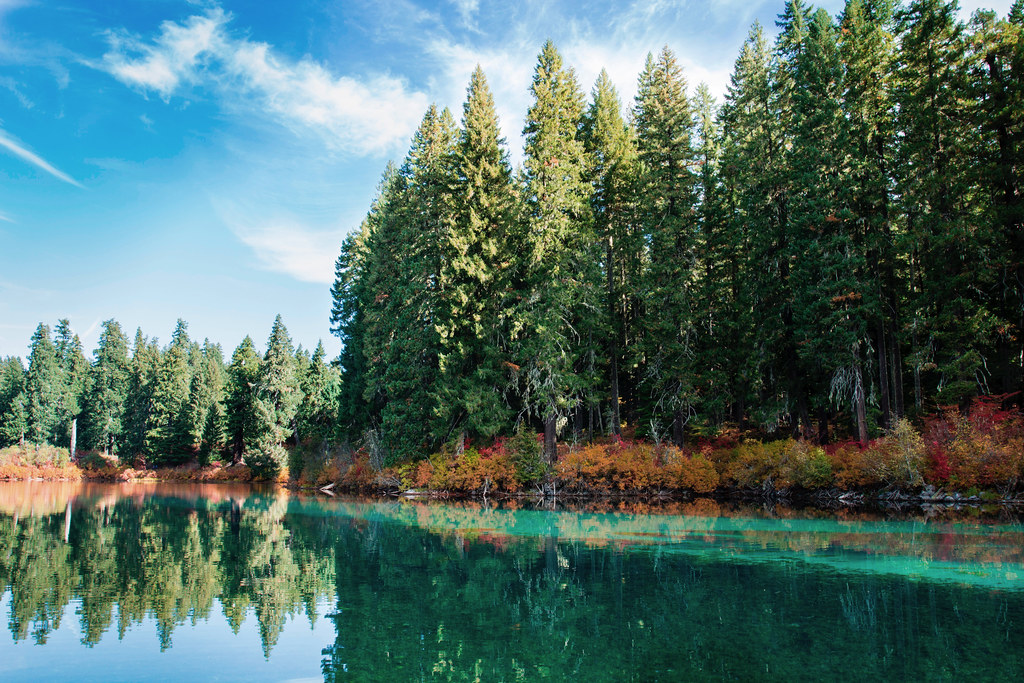 Clear LakeHikingPhoto: Bonnie Moreland (free images), Public Domain Mark (via Flickr)0.7 mi
 McKenzie RiverCanoeingPhoto: Bob Heims, U.S. Army Corps of Engineers, Public domain (via Wikimedia Commons)3.1 mi
Source: Roamze catalog (indexable pages within 10 miles, PostGIS distance)
Best months: May–October. Best months have typical highs of 55–85 °F, lows of 30 °F or warmer (32 °F where the station doesn't record snow), at most one snowy day and no more than 12 wet days.
Jan
38° / 24°
Feb
41° / 24°
Mar
44° / 26°
Apr
49° / 29°
May
58° / 35°
Jun
65° / 38°
Jul
76° / 42°
Aug
76° / 42°
Sep
69° / 39°
Oct
56° / 33°
Nov
42° / 28°
Dec
36° / 23°
Typical high / low (°F) and days with rain or snow, 1991–2020. Measured at Santiam Junction, OR, 5.4 mi away at 3,750 ft. This station doesn't record snowfall. Source: NOAA NCEI U.S. Climate Normals 1991–2020.

