Grouse Creek Nordic
- 8.6 mi
- round trip
- 2,216 ft
- climb
- 6,657 ft
- high point
- Out and back
- route
Is Grouse Creek Nordic open right now?
Alert in the area
The Forest Service lists 2 alerts for Klamath National Forest.
Temporarily closure of approximately 3.5 miles of National Forest System Roads 47N01
Agency alert covering Klamath National Forest · Order 05-05-00-26-08 · USFS · Klamath National Forest
Grayback Road Repairs
Agency alert covering Klamath National Forest · USFS · Klamath National Forest
As of · Source: USFS · Klamath National Forest. Agencies don't list every closure — check before you go.
Grouse Creek Nordic is a cross-country ski route in the Oak Knoll Ranger District of Klamath National Forest in southern Oregon, managed by the Forest Service. The trail is about 8.6 miles long and rated hard, with a total climb of 2,216 feet and a steepest grade of about 30% at roughly 2.9 miles in. The route is an out-and-back, starting at about 6,628 feet and reaching a high point of 6,657 feet. That makes it a short climb to the top and a similar descent back, with the most challenging stretch near the middle of the route. Mt Ashland campground sits just 0.1 mile away, and the Summit hike and Summit Nordic ski route are both within a mile. For paddling, Cow Creek is about 6.9 miles off.
Local outfitters
- Pacific Rack Outfitters12 mi away
Not on Roamze yet. Their page has how to reach them.
- Mt AshlandCamping0.1 mi
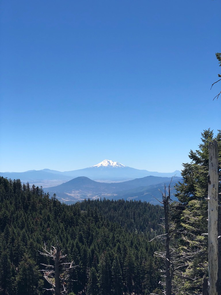 SummitHikingPhoto: zappowbang, CC BY-SA 2.0 (via Flickr)0.5 mi
- Summit NordicCross-country skiing0.7 mi
 Mt. Ashland's Dream BoulderRock climbingPhoto: james shaw, CC BY-SA 3.0 (via Wikimedia Commons)0.8 mi
- Cow CreekCanoeing6.9 mi
- Wrangle CampgroundCamping7.6 mi
- Emigrant CreekCanoeing7.7 mi
- Ren WallRock climbing8 mi
Source: Roamze catalog (indexable pages within 10 miles, PostGIS distance)
 Bull Gap-NordicCross-country skiing · ~2 min drivePhoto: james shaw, CC BY-SA 3.0 (via Wikimedia Commons)
- Summit NordicCross-country skiing · ~1 min drive
- Bull Gap-NordicCross-country skiing · ~2 min drive
- Crest Loop NordicCross-country skiing · ~2 min drive
- Mount AshlandDownhill skiing · Next door
- Crest Loop NordicCross-country skiing · ~2 min drivePhoto: james shaw, CC BY-SA 3.0 (via Wikimedia Commons)
- Suckers Alley NordicCross-country skiing · ~50 min drive
- Glasgow Loop NordicCross-country skiing · ~49 min drive
- Pederson NordicCross-country skiing · ~47 min drive
- Grouse Gap NordicCross-country skiing · Next door
