Wasson Creek
- 16.6 mi
- distance
- 973 ft
- high point
- Feb–Jun, Aug–Nov
- best months
Caution today
Agency alerts are in effect for this area; weather is good · USFS, OpenWeather · checked just now
Is Wasson Creek open right now?
Closure in the area
There's a closure order in Siuslaw National Forest. It doesn't name Wasson Creek, so check the source for the area it covers.
Homestead Trailhead Closure
Agency closure covering Siuslaw National Forest · Order 06-12-10-26-11 · USFS · Siuslaw National Forest
Sutton Lake Boat Ramp Closure
Agency alert covering Siuslaw National Forest · Order 06-12-10-26-07 · USFS · Siuslaw National Forest
As of · Source: USFS · Siuslaw National Forest. Agencies don't list every closure — check before you go.
Wasson Creek is a canoeing destination in the Devil's Staircase Wilderness, part of the Central Coast Ranger District-ODNRA of Siuslaw National Forest in Oregon. The Forest Service manages the land, and the creek sits within designated wilderness. Summer is the warmest stretch for paddling. Typical averages from a nearby weather station show July highs around 86°F with lows near 50°F, while September cools to highs around 81°F. That station sits about 850 feet lower than the creek, so temperatures at the creek run cooler. Several other paddling waters lie close by. Harvey Creek is about 4.5 miles away and Vincent Creek about 5.1 miles. Dean Creek and Weatherly Creek are each roughly 8.8 miles off.
Local outfitters
- Oregon Paddle Sports41 mi away
- Riverside Fly Fishing & Scenic Tours44 mi away
Not on Roamze yet. Their page has how to reach them.
- Harvey CreekCanoeing4.5 mi
- Vincent CreekCanoeing5.1 mi
- Dean CreekCanoeing8.8 mi
- Weatherly CreekCanoeing8.8 mi
- Middle Fork North Fork Smith RiverCanoeing9.3 mi
- West Fork Smith RiverCanoeing9.7 mi
Source: Roamze catalog (indexable pages within 10 miles, PostGIS distance)
 West Fork Millicoma RiverCanoeing · ~27 min drivePhoto: Finetooth, CC BY-SA 3.0 (via Wikimedia Commons)
- Smith River FallsBoat launch · ~7 min drive
- Harvey CreekCanoeing · ~8 min drive
- Loon Lake Day-Use AreaBoat launch · ~18 min drive
- Vincent CreekCanoeing · ~9 min drive
- Tahkenitch Landing Boat RampBoat launch · ~25 min drive
- Dean CreekCanoeing · ~15 min drive
- Tahkenitch Lake Boat RampBoat launch · ~25 min drive
- Weatherly CreekCanoeing · ~15 min drive
- Westlake Boat RampBoat launch · ~27 min drive
Also worth it near here
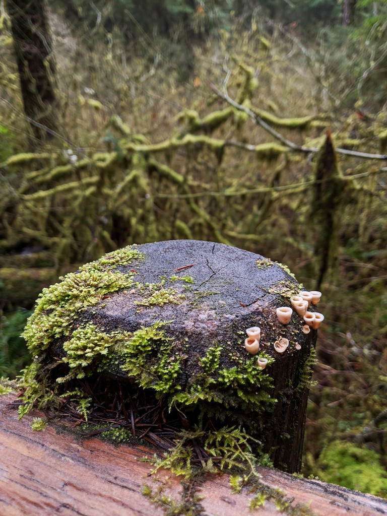 North Fork Smith River TrailHiking · ~22 min drivePhoto: Jonathan Lidbeck, CC BY 2.0 (via Flickr)
 Beaver Creek FallsWaterfall · ~23 min drivePhoto: Only in Oregon, CC BY 2.0 (via Wikimedia Commons)
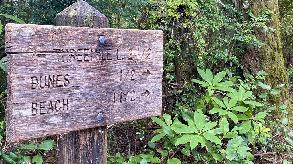 Tahkenitch CampgroundCamping · ~25 min drivePhoto: lamblukas — CC BY 2.0 (via Flickr)
- Three Mile Lake NorthMountain biking · ~26 min drive
Best time to visit Wasson Creek
Best months: February–June and August–November. Best months have typical highs of 55–85 °F, lows of 30 °F or warmer (32 °F where the station doesn't record snow), at most one snowy day and no more than 12 wet days.
Jan
51° / 36°
Feb
55° / 35°
Mar
60° / 37°
Apr
64° / 39°
May
72° / 43°
Jun
77° / 48°
Jul
86° / 50°
Aug
85° / 51°
Sep
81° / 46°
Oct
69° / 42°
Nov
56° / 39°
Dec
49° / 36°
Typical high / low (°F) and days with rain or snow, 1991–2020. Measured at Elkton 1sw, OR, 15.9 mi away at 125 ft. The station sits about 800 ft lower than this place, so expect it a little cooler here. This station doesn't record snowfall. Source: NOAA NCEI U.S. Climate Normals 1991–2020.
