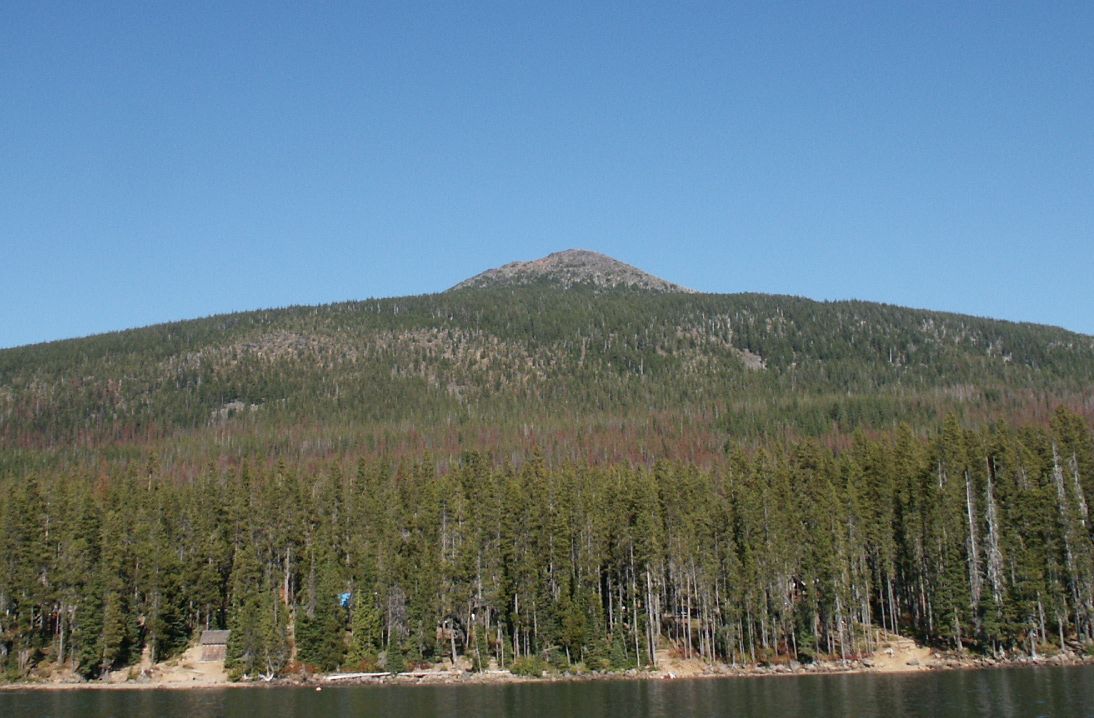
Warm Springs River
- 15.0 mi
- distance
- 3,812 ft
- high point
- Jun–Sep
- best months
Warm Springs River is a canoeing route in Oregon, managed by the Bureau of Indian Affairs. It lies about 17 miles from the town of Simnasho, and the nearest town is the closest reference point for planning a trip. Summer is the most comfortable time to paddle here. Typical averages from the nearby Government Camp weather station show July and August highs around 70°F with only about four wet days a month, while winter months bring highs in the mid-30s and rain on most days. Summit Lake Campground is about 6 miles away, and Clackamas Lake is about 8 miles off. The Oak Grove Fork Clackamas River, another canoeing route, is about 8 miles away. For an overnight stay, Clackamas Lake Historic Cabin is about 8 miles from the river.
Local outfitters
- Pine Hollow Lakeside Resort & RV Park27 mi away
- Anderson's Outdoors28 mi away
Not on Roamze yet. Their page has how to reach them.
- Summit Lake CampgroundCamping5.8 mi
 Clackamas LakeCampingPhoto: Recreation.gov (RIDB) / public domain8 mi
- Oak Grove Fork Clackamas RiverCanoeing8.2 mi
- Clackamas Lake Historic CabinCamping8.3 mi
- Joe Graham Horse CampgroundCamping8.4 mi
 HeadwatersHikingPhoto: Forest Service Pacific Northwest Region, Public Domain Mark (via Flickr)8.4 mi
- Timothy BikeHikingPhoto: Forest Service Pacific Northwest Region, Public Domain Mark (via Flickr)8.4 mi
 MillerHikingPhoto: LukeDetwiler, CC BY 2.0 (via Flickr)9.3 mi
Source: Roamze catalog (indexable pages within 10 miles, PostGIS distance)
 Clackamas RiverCanoeing · ~18 min drivePhoto: U.S. Forest Service- Pacific Northwest Region, Public domain (via Wikimedia Commons)
- Sandstone Bridge Boat Access Day UseBoat launch · ~36 min drive
- Fish CreekFloat trip · ~44 min drive
 North Fork Breitenbush RiverCanoeing · ~29 min drivePhoto: EncMstr, CC BY-SA 3.0 (via Wikimedia Commons)
- Hole In The Wall Boating SiteBoat launch · ~42 min drive
- LockabyFloat trip · ~44 min drive
 Collawash RiverCanoeing · ~30 min drivePhoto: Unknown author or not provided, Public domain (via Wikimedia Commons)
- Fish Creek Wooden Boat SlideBoat launch · ~44 min drive
- RaabFloat trip · ~32 min drive
 White RiverCanoeing · ~31 min drivePhoto: Cacophony, CC BY-SA 3.0 (via Wikimedia Commons)
Also worth it near here
Best time to visit Warm Springs River
Best months: June–September. Best months have typical highs of 55–85 °F, lows of 30 °F or warmer (32 °F where the station doesn't record snow), at most one snowy day and no more than 12 wet days.
Jan
37° / 26°
20 wet
Feb
38° / 26°
17 wet
Mar
41° / 28°
20 wet
Apr
45° / 31°
18 wet
May
54° / 36°
15 wet
Jun
59° / 41°
10 wet
Jul
69° / 48°
4 wet
Aug
70° / 48°
4 wet
Sep
64° / 45°
8 wet
Oct
53° / 37°
13 wet
Nov
42° / 30°
18 wet
Dec
35° / 26°
21 wet
Typical high / low (°F) and days with rain or snow, 1991–2020. Measured at Government Camp, OR, 21.9 mi away at 3,980 ft. This station doesn't record snowfall. Source: NOAA NCEI U.S. Climate Normals 1991–2020.