Thirtymile Boat Launch
- Apr–Oct
- best months
Thirtymile Boat Launch is a boat launch in Oregon.
- Managed by
- Bureau of Land Management
 Rock CreekCanoeing · ~45 min drivePhoto: Bobjgalindo, CC BY-SA 4.0 (via Wikimedia Commons)
- Clarno Boat RampBoat launch · ~29 min drive
- Buckhollow Boat RampFloat trip · ~48 min drive
 Trout CreekCanoeing · ~58 min drivePhoto: Demis Map Server, Little Mountain 5, CC BY-SA 3.0 (via Wikimedia Commons)
- J.S. Burres Boat RampBoat launch · ~38 min drive
 Fifteenmile CreekCanoeing · ~1h 9m drivePhoto: Finetooth, CC BY-SA 4.0 (via Wikimedia Commons)
- Macks Canyon Boat LaunchBoat launch · ~44 min drive
 Bridge CreekCanoeing · ~1h 10m drivePhoto: Finetooth, CC BY-SA 3.0 (via Wikimedia Commons)
- Beavertail Boat LaunchBoat launch · ~45 min drive
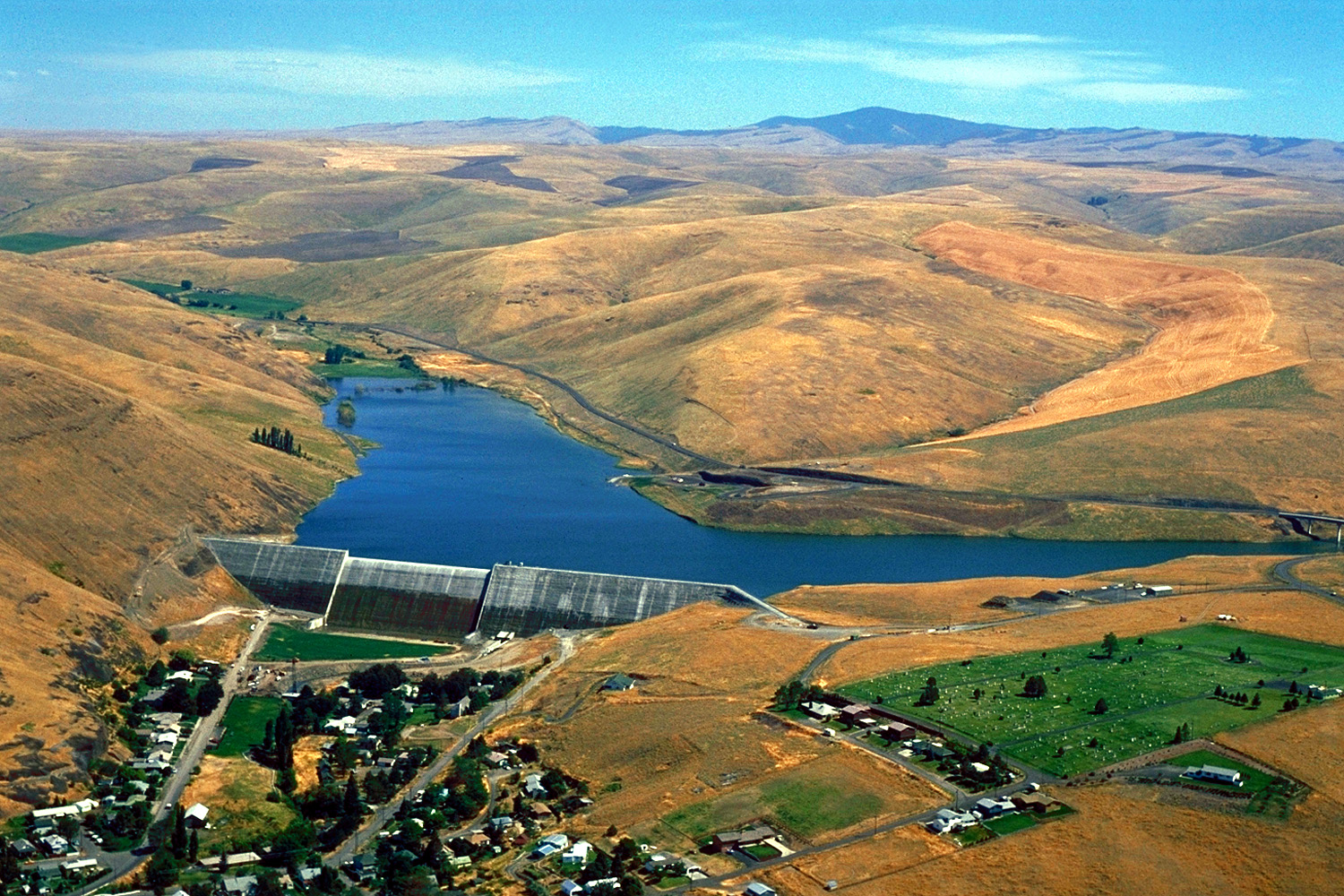 Willow CreekCanoeing · ~1h 13m drivePhoto: Bill Johnson, U.S. Army Corps of Engineers, Public domain (via Wikimedia Commons)
Best time to visit Thirtymile Boat Launch
Best months: April–October. Best months have typical highs of 55–85 °F, lows of 30 °F or warmer (32 °F where the station doesn't record snow), at most one snowy day and no more than 12 wet days.
Jan
40° / 24°
11 wet
Feb
45° / 26°
9 wet
Mar
52° / 30°
10 wet
Apr
59° / 35°
9 wet
May
67° / 42°
7 wet
Jun
74° / 47°
5 wet
Jul
84° / 53°
2 wet
Aug
84° / 53°
2 wet
Sep
76° / 45°
3 wet
Oct
62° / 36°
8 wet
Nov
48° / 29°
11 wet
Dec
39° / 24°
12 wet
Typical high / low (°F) and days with rain or snow, 1991–2020. Measured at Moro, OR, 25.4 mi away at 1,870 ft. The station sits about 900 ft higher than this place, so expect it a little warmer here. This station doesn't record snowfall. Source: NOAA NCEI U.S. Climate Normals 1991–2020.


Map and trail data © OpenStreetMap contributors
