Indian Canyon Loop Trail
 Photo: Steven Pavlov, CC BY-SA 3.0 (via Wikimedia Commons)
- 0.6 mi
- round trip
- 345 ft
- climb
- 2,044 ft
- high point
- Out and back
- route
- May–Oct
- best months
Is Indian Canyon Loop Trail open right now?
No closures listed
The National Park Service lists no closures for John Day Fossil Beds National Monument.
As of · Source: NPS · John Day Fossil Beds National Monument. Agencies don't list every closure — check before you go.
Indian Canyon Loop Trail is a 1.2-mile out-and-back route in Oregon with 345 feet of elevation gain and loss. The trail reaches a maximum elevation of 2,044 feet.
Local outfitters
- Imperial River Company37 mi away
Not on Roamze yet. Their page has how to reach them.
- Nearby · East Shortcut Trail · Huntley Trail · Divide Trail
Best time to go · May–Oct
Best time to visit Indian Canyon Loop Trail
Best months: May–October. Best months have typical highs of 55–85 °F, lows of 30 °F or warmer (32 °F where the station doesn't record snow), at most one snowy day and no more than 12 wet days.
Jan
42° / 26°
5 wet
Feb
46° / 26°
5 wet
Mar
52° / 28°
6 wet
Apr
58° / 31°
6 wet
May
66° / 37°
6 wet
Jun
73° / 42°
4 wet
Jul
84° / 46°
2 wet
Aug
84° / 45°
2 wet
Sep
74° / 40°
3 wet
Oct
63° / 33°
5 wet
Nov
48° / 28°
6 wet
Dec
41° / 24°
5 wet
Typical high / low (°F) and days with rain or snow, 1991–2020. Measured at Fossil, OR, 10.8 mi away at 2,650 ft. The station sits about 600 ft higher than this place, so expect it a little warmer here. This station doesn't record snowfall. Source: NOAA NCEI U.S. Climate Normals 1991–2020.
Keep exploring — more trails worth the drive
 Photo: daveynin, CC BY 2.0 (via Flickr)
East Shortcut Trail
~1 min drive
1.0-mile out-and-back trail in Oregon with 357 ft of elevation gain
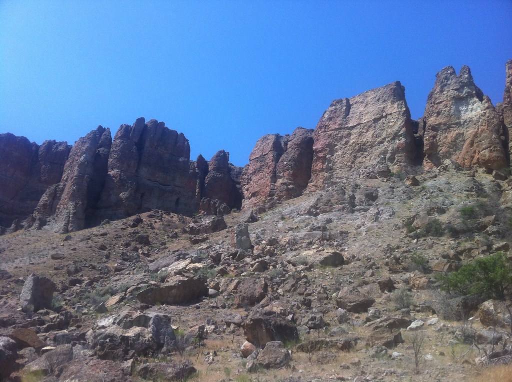 Photo: Francis Storr, CC BY-SA 2.0 (via Flickr)
Huntley Trail
~2 min drive
4.88-mile out-and-back hike in Oregon with 1,305 ft elevation gain.
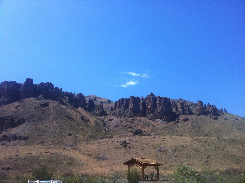 Photo: Francis Storr, CC BY-SA 2.0 (via Flickr)
Divide Trail
~3 min drive
11.4-mile out-and-back trail in Oregon with 3,255 ft elevation gain/loss.
HIKE
Jennies Peak Trail
~11 min drive
28.44-mile out-and-back trail in Oregon with 5,493 ft elevation gain.
Photo: Steven Pavlov, CC BY-SA 3.0 (via Wikimedia Commons)Right Equisetum Trail
~1 min drive
0.96-mile out-and-back hike with 362 ft elevation gain in Oregon
 Photo: lamblukas, CC BY 2.0 (via Flickr)
Carroll Rim
~35 min drive
Carroll Rim is a 0.80-mile out-and-back trail in Oregon with 232 ft of elevation gain.
HIKE
Cougar Creek Trail #835
~49 min drive
11.5-mile out-and-back trail in Oregon with 3,107 ft elevation gain and 4,887 ft max elevation.
Photo: Steven Pavlov, CC BY-SA 3.0 (via Wikimedia Commons)West Shortcut Trail
~1 min drive
0.6-mile out-and-back trail in Oregon with 216 ft of elevation gain
HIKE
Rhodes Canyon Trail
~11 min drive
8.9-mile out-and-back hike in Oregon with 1,835 ft elevation gain
HIKE
SCOTTY CREEK
~50 min drive
8.58-mile out-and-back trail in Oregon with 3,061 ft elevation gain and loss.

Map and trail data © OpenStreetMap contributors
