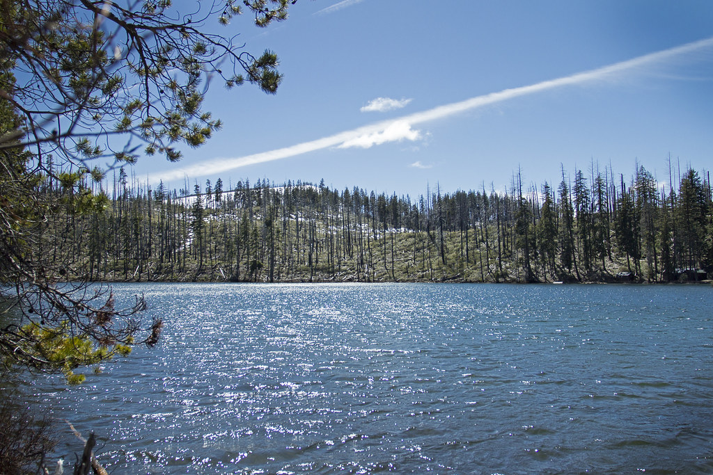
Link Creek
Campground
Campground · 2.1 mi from the trail
 Photo: randallagordon, CC BY-SA 3.0 (via Wikimedia Commons)
Closure in the area
There's a closure order in Deschutes National Forest. It doesn't name Trail 10 - Cache Mountain Loop, so check the source for the area it covers.
West Bend Area Trail Closures
Agency closure covering Deschutes National Forest · USFS · Deschutes National Forest
Camping & Campfire Restrictions Forest Order
Agency alert covering Deschutes National Forest · Order 06-01-26-01 · USFS · Deschutes National Forest
Cave Resource Protection Forest Order
Agency alert covering Deschutes National Forest · Order 06-01-26-02 · USFS · Deschutes National Forest
Deschutes 14-Day Camping Order
Agency alert covering Deschutes National Forest · Order 06-01-25-01 · USFS · Deschutes National Forest
Wilderness Permit, Camping & Fire Restrictions Order
Agency alert covering Deschutes National Forest · Order 06-01-24-01 · USFS · Deschutes National Forest
As of · Source: USFS · Deschutes National Forest. Agencies don't list every closure — check before you go.
Trail 10 - Cache Mountain Loop is a 2.00-mile route in the Cache Mountain trail system managed by the Forest Service in Oregon. The trail gains 457 feet of elevation.
Link Creek
Campground
Kiwanis club
Attraction
Places © OpenStreetMap contributors
More in SistersNot on Roamze yet. Their page has how to reach them.
Trail #4 - Link Lake CutoffMountain biking · ~2 min drivePhoto: randallagordon, CC BY-SA 3.0 (via Wikimedia Commons)Trail 20 - Cache MountainMountain biking · ~2 min drivePhoto: randallagordon, CC BY-SA 3.0 (via Wikimedia Commons) Trail #14.1 - Loop TieMountain biking · ~3 min drivePhoto: David Taylor, CC BY-SA 3.0 (via Wikimedia Commons)
 Dark LakeMountain biking · ~3 min drivePhoto: David Taylor, CC BY-SA 3.0 (via Wikimedia Commons)Two LakesMountain biking · ~4 min drivePhoto: David Taylor, CC BY-SA 3.0 (via Wikimedia Commons)
 Cottonwood XcMountain biking · ~4 min drivePhoto: inkknife_2000 (7.5 million views +), CC BY-SA 2.0 (via Wikimedia Commons)Trail 22 - Cache Mt CuttofMountain biking · ~4 min drivePhoto: randallagordon, CC BY-SA 3.0 (via Wikimedia Commons)
 Suttle Lake LoopMountain biking · ~5 min drivePhoto: Visitor7, CC BY-SA 3.0 (via Wikimedia Commons)Old SummitMountain biking · ~6 min drivePhoto: inkknife_2000 (7.5 million views +), CC BY-SA 2.0 (via Wikimedia Commons)
 Trail #3BMountain biking · ~9 min drivePhoto: Mattsjc, CC BY 4.0 (via Wikimedia Commons)
Best months: May–October. Best months have typical highs of 55–85 °F, lows of 30 °F or warmer (32 °F where the station doesn't record snow), at most one snowy day and no more than 12 wet days.
Jan
38° / 24°
Feb
41° / 24°
Mar
44° / 26°
Apr
49° / 29°
May
58° / 35°
Jun
65° / 38°
Jul
76° / 42°
Aug
76° / 42°
Sep
69° / 39°
Oct
56° / 33°
Nov
42° / 28°
Dec
36° / 23°
Typical high / low (°F) and days with rain or snow, 1991–2020. Measured at Santiam Junction, OR, 9 mi away at 3,750 ft. The station sits about 600 ft lower than this place, so expect it a little cooler here. This station doesn't record snowfall. Source: NOAA NCEI U.S. Climate Normals 1991–2020.
Map and trail data © OpenStreetMap contributors