Willamette Greenway
- 1.4 mi
- round trip
- 322 ft
- climb
- 45 ft
- high point
- Out and back
- route
- May–Sep
- best months
The Willamette Greenway is an easy, short out-and-back hike in Oregon, set within the Cottonwood Bay area. The route is about 2.9 miles long and gains about 10 feet of elevation, so it is mostly flat and gentle. It is an out-and-back, and the climb is at the start, with the steepest stretch coming at about half a mile in at a grade of roughly 5 percent. The trail runs on low ground, with the low point at about 18 feet and the high at about 45 feet, which makes it an easy addition to a day spent exploring the surrounding area. The most comfortable time to go is late summer into early fall. Typical averages from a nearby weather station show August highs around 81°F with only about three wet days, and September highs near 75°F. Winter is much wetter, with around 19 to 20 wet days a month from December through January. Several other trails sit close by. The Terwilliger Trail is about 0.6 miles away, and the Willamette Park to Multnomah and North Woodland Trail routes are within about a mile. For a different outing, paddlers can head to Fanno Creek, about 5.3 miles away.
Local outfitters
- Basecamp Adventure Co.2 mi away
- Wildwood Adventures2 mi away
Not on Roamze yet. Their page has how to reach them.
- Terwilliger TrailHiking0.6 mi
- Willamette Park to MultnomahHiking0.9 mi
- North Woodland TrailHiking1 mi
 Fanno CreekCanoeingPhoto: Finetooth, CC BY-SA 3.0 (via Wikimedia Commons)5.3 mi
- Highball wallRock climbing6.4 mi
- m. Joseph Wood Hill ParkRock climbing6.5 mi
- l. Wall of ShadowsRock climbing6.6 mi
- Beaverton CreekCanoeing9.3 mi
Source: Roamze catalog (indexable pages within 10 miles, PostGIS distance)
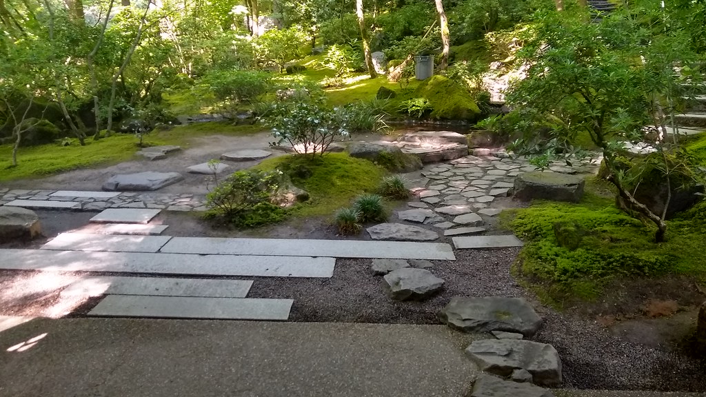 Nature Loop TrailHiking · ~3 min drivePhoto: mjfmjfmjf, CC BY 2.0 (via Flickr)
- Terwilliger TrailHiking · ~1 min drive
- 4T TrailHiking · ~3 min drive
- Mac TrailHiking · ~5 min drivePhoto: mjfmjfmjf, CC BY 2.0 (via Flickr)
- Willamette Park to MultnomahHiking · ~2 min drive
 Overlook TrailHiking · ~5 min drivePhoto: Jon Roberts from Austin TX, USA, CC BY-SA 2.0 (via Wikimedia Commons)
- River View Natural Area TrailHiking · ~4 min drive
 Japanese Garden TrailHiking · ~5 min drivePhoto: mjfmjfmjf, CC BY 2.0 (via Flickr)
- North Macadam to HamiltonHiking · ~4 min drive
 Marquam TrailHiking · ~5 min drivePhoto: mjfmjfmjf, CC BY 2.0 (via Flickr)
Best time to visit Willamette Greenway
Best months: May–September. Best months have typical highs of 55–85 °F, lows of 30 °F or warmer (32 °F where the station doesn't record snow), at most one snowy day and no more than 12 wet days.
Jan
47° / 37°
19 wet · 1 snow
Feb
51° / 39°
16 wet
Mar
56° / 41°
18 wet
Apr
61° / 44°
16 wet
May
68° / 49°
12 wet
Jun
73° / 53°
8 wet
Jul
80° / 58°
4 wet
Aug
81° / 59°
3 wet
Sep
75° / 55°
7 wet
Oct
63° / 48°
13 wet
Nov
52° / 42°
18 wet
Dec
46° / 37°
20 wet · 1 snow
Typical high / low (°F) and days with rain or snow, 1991–2020. Measured at Portland Kgw-Tv, OR, 2.1 mi away at 159 ft. Source: NOAA NCEI U.S. Climate Normals 1991–2020.
Map and trail data © OpenStreetMap contributors
