Van Patten Lake Trail
- 0.5 mi
- round trip
- 323 ft
- climb
- 7,417 ft
- high point
- Out and back
- route
Is Van Patten Lake Trail open right now?
Closure in the area
There's a closure order in Whitman Ranger District. It doesn't name Van Patten Lake Trail, so check the source for the area it covers (6 listed).
McCully Fire Closure
Agency closure covering Whitman Ranger District · Order 06-16-01-26-14 · USFS · Whitman Ranger District
Anthony Fire Closure
Agency closure covering Whitman Ranger District · Order 06-16-01-26-09 · USFS · Whitman Ranger District
McCully Fire Closure
Agency closure covering Whitman Ranger District · Order 06-16-01-26-14 · USFS · Whitman Ranger District
Anthony Fire Area Closure
Agency closure covering Whitman Ranger District · Order 06-16-01-26-09 · USFS · Whitman Ranger District
Salmon and Olive Butte Fire Area Closure
Agency closure covering Whitman Ranger District · Order 06-16-01-26-06 · USFS · Whitman Ranger District
As of · Source: USFS · Whitman Ranger District. Agencies don't list every closure — check before you go.
Van Patten Lake Trail is a short, easy out-and-back hike in the Whitman Ranger District of the Wallowa-Whitman National Forest in northeastern Oregon. The trail is about 0.9 miles long, with a total elevation gain of 323 feet, and it starts at Van Patten Lake Trailhead, which takes about half an hour to complete. The climb is front-loaded, with the steepest stretch at about 0.27 miles into the hike, where the grade reaches 23%. The trail begins at 7,097 feet and peaks at 7,417 feet before returning to the starting point. The Forest Service manages the land. For a longer outing, Black Lake Trail lies about 1.9 miles away. Anthony Lakes Tent Campground and Anthony Lake Guard Station are both about 2.4 miles off, and the Anthony Lakes climbing area is about 3 miles away.
- Black Lake TrailHiking1.9 mi
- Anthony Lakes Tent CampgroundCamping2.4 mi
- Anthony Lake Guard StationCamping2.4 mi
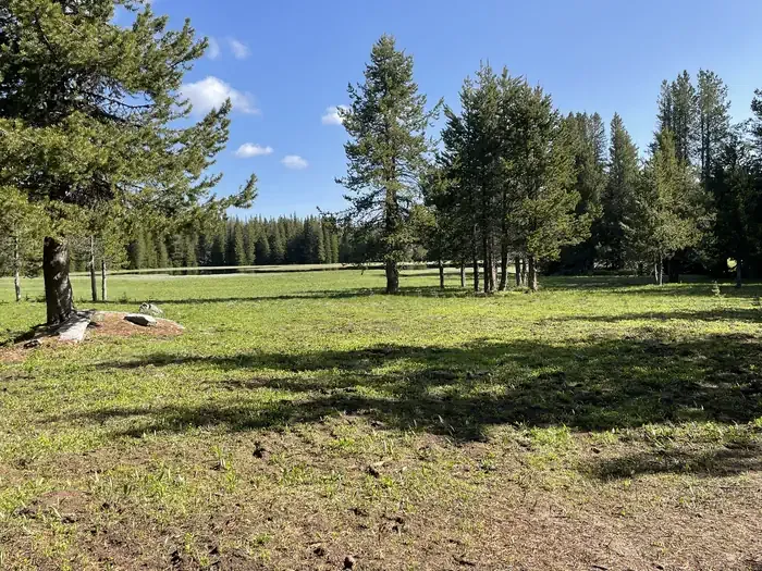 Mud Lake CampgroundCampingPhoto: Recreation.gov (RIDB) / public domain2.5 mi
- Anthony LakesRock climbing3 mi
- Hoffer Lakes TrailHiking3.1 mi
- Anthony CreekCanoeing4.5 mi
- North Powder RiverCanoeing6.2 mi
Source: Roamze catalog (indexable pages within 10 miles, PostGIS distance)
 Anthony Lake Shoreline TrailHiking · ~4 min drivePhoto: Brent, CC BY 2.0 (via Wikimedia Commons)
 Dutch Flat Creek TrailHiking · ~5 min drivePhoto: U.S. Forest Service- Pacific Northwest Region, Public domain (via Wikimedia Commons)
- Lakes Lookout TrailHiking · ~6 min drivePhoto: Brent, CC BY 2.0 (via Wikimedia Commons)
 Lost Creek TrailHiking · ~39 min drivePhoto: Forest Service Pacific Northwest Region, Public Domain Mark (via Flickr)
- Anthony Lake Shoreline TrailHiking · ~4 min drivePhoto: Brent, CC BY 2.0 (via Wikimedia Commons)
- Elkhorn Crest National Recreation TrailHiking · ~25 min drive
 Crawfish Basin TrailHiking · ~6 min drivePhoto: U.S. Forest Service- Pacific Northwest Region, Public domain (via Wikimedia Commons)
- Rock Creek Lake TrailHiking · ~14 min drive
- Crawfish Basin TrailHiking · ~6 min drivePhoto: U.S. Forest Service- Pacific Northwest Region, Public domain (via Wikimedia Commons)
- Crawfish Lake TrailHiking · ~7 min drivePhoto: U.S. Forest Service- Pacific Northwest Region, Public domain (via Wikimedia Commons)
Map and trail data © OpenStreetMap contributors
