Sugar Maple Trail
- 1.0 mi
- round trip
- 1,333 ft
- climb
- 1,331 ft
- high point
- Out and back
- route
- Jun–Sep
- best months
Sugar Maple Trail is a 2-mile out-and-back hike in Oregon's Thurston Hills, on city-managed land. The trail starts at about 1,331 feet and climbs to a high point of 1,331 feet, which makes the route a loop of rolling terrain with a total gain and loss of about 1,333 feet. The steepest stretch comes at about 0.47 miles in, where the grade reaches 21 percent. Summer is the most comfortable time to go. Typical averages from a nearby weather station show July and August highs around 80°F with only about four wet days a month, while winter months bring highs in the mid-40s and rain on most days. That station sits roughly 600 feet lower than the trail, so temperatures on the higher ground run cooler. The hike takes about 1.5 hours. The Basalt Rim Trail lies about 0.3 miles away, and the upper and lower sections of the Camas Crest Trail are each about half a mile off. Paddlers can find Hills Creek about 5 miles away.
Local outfitters
- Casey's Riverside RV Resort27 mi away
- Patio RV Park37 mi away
Not on Roamze yet. Their page has how to reach them.
- Basalt Rim TrailHiking0.3 mi
 Camas Crest Trail (upper)HikingPhoto: Brück & Sohn Kunstverlag Meißen, CC0 (via Wikimedia Commons)0.5 mi
 Camas Crest Trail (lower)HikingPhoto: Bruce Fingerhood from Springfield, Oregon, US, CC BY 2.0 (via Wikimedia Commons)0.5 mi
- Chinquapin Chute TrailHikingPhoto: Brück & Sohn Kunstverlag Meißen, CC0 (via Wikimedia Commons)1.1 mi
- Hills CreekCanoeing5.2 mi
- Camp CreekCanoeing6.6 mi
- Willamette RiverRiver fishing8.7 mi
 Skinner Butte (aka The Columns)Rock climbingPhoto: Visitor7, CC BY-SA 3.0 (via Wikimedia Commons)9.5 mi
Source: Roamze catalog (indexable pages within 10 miles, PostGIS distance)
- Camas Crest Trail (upper)Hiking · Next doorPhoto: Brück & Sohn Kunstverlag Meißen, CC0 (via Wikimedia Commons)
 Rexius TrailHiking · ~14 min drivePhoto: Jonathan Lidbeck, CC BY 2.0 (via Wikimedia Commons)
- JonesHiking · ~30 min drive
- Camas Crest Trail (lower)Hiking · Next doorPhoto: Bruce Fingerhood from Springfield, Oregon, US, CC BY 2.0 (via Wikimedia Commons)
 Ridgeline TrailHiking · ~17 min drivePhoto: Jonathan Lidbeck, CC BY 2.0 (via Wikimedia Commons)
- Chinquapin Chute TrailHiking · ~2 min drivePhoto: Brück & Sohn Kunstverlag Meißen, CC0 (via Wikimedia Commons)
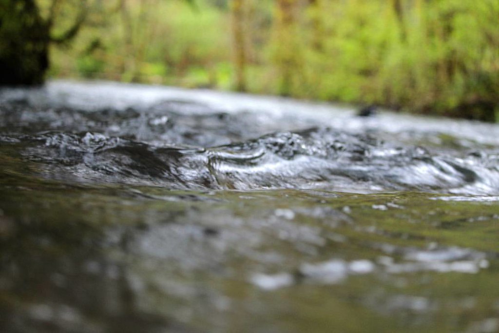 Drury Ridge-B.S.A. TrailHiking · ~24 min drivePhoto: dsgetch, CC BY 2.0 (via Flickr)
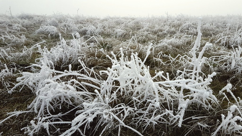 Summit TrailHiking · ~5 min drivePhoto: Jonathan Lidbeck, CC BY 2.0 (via Flickr)
- Spencer Butte Summit TrailHiking · ~17 min drivePhoto: Jonathan Lidbeck, CC BY 2.0 (via Wikimedia Commons)
 Lower Plateau TrailHiking · ~6 min drivePhoto: Jonathan Lidbeck, CC BY 2.0 (via Flickr)
Best time to visit Sugar Maple Trail
Best months: June–September. Best months have typical highs of 55–85 °F, lows of 30 °F or warmer (32 °F where the station doesn't record snow), at most one snowy day and no more than 12 wet days.
Jan
47° / 37°
19 wet
Feb
50° / 38°
17 wet
Mar
54° / 40°
19 wet
Apr
59° / 42°
18 wet
May
65° / 47°
14 wet
Jun
71° / 51°
9 wet
Jul
80° / 55°
4 wet
Aug
80° / 54°
4 wet
Sep
74° / 52°
7 wet
Oct
63° / 47°
13 wet
Nov
52° / 42°
18 wet
Dec
46° / 37°
20 wet
Typical high / low (°F) and days with rain or snow, 1991–2020. Measured at Lookout Pt Dam, OR, 11.1 mi away at 712 ft. The station sits about 600 ft lower than this place, so expect it a little cooler here. This station doesn't record snowfall. Source: NOAA NCEI U.S. Climate Normals 1991–2020.
Map and trail data © OpenStreetMap contributors
