Lower Plateau Trail
 Photo: Jonathan Lidbeck, CC BY 2.0 (via Flickr)
- 0.4 mi
- round trip
- 250 ft
- climb
- 754 ft
- high point
- Out and back
- route
- Jun–Sep
- best months
Lower Plateau Trail is an easy out-and-back hike in Mount Pisgah Park, on county land in Oregon. The trail is about 0.8 miles long and runs from a low point of about 650 feet to a high point of about 750 feet, with a total round-trip elevation gain of about 250 feet. The climb is front-loaded, with the steepest part at the start, around 10% grade, before the trail eases into a walk back down. Summer is the most comfortable time to go. Typical averages from a nearby weather station show July and August highs around 80°F with only about four wet days a month, while winter months see highs in the mid-40s and rain on most days. The trip takes about half an hour, and Summit Trail lies about half a mile away. Skinner Butte, the climbing area known as The Columns, is about 7 miles off, the Willamette River about 6 miles, and Graham Corral Horse Campground about 10 miles.
Local outfitters
- Casey's Riverside RV Resort28 mi away
- The Big K Guest Ranch39 mi away
Not on Roamze yet. Their page has how to reach them.
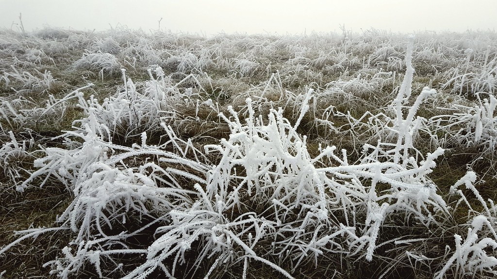 Summit TrailHikingPhoto: Jonathan Lidbeck, CC BY 2.0 (via Flickr)0.5 mi
- SUB woodchip pathHiking2.3 mi
- Willamette RiverRiver fishing6.3 mi
 Skinner Butte (aka The Columns)Rock climbingPhoto: Visitor7, CC BY-SA 3.0 (via Wikimedia Commons)7 mi
- Hills CreekCanoeing7.9 mi
- North WallRock climbing9.1 mi
- Graham Corral Horse CampgroundCamping9.9 mi
 Whispering Pines Horse CampCampingPhoto: Recreation.gov (RIDB) / public domain9.9 mi
Source: Roamze catalog (indexable pages within 10 miles, PostGIS distance)
- Summit TrailHiking · Next doorPhoto: Jonathan Lidbeck, CC BY 2.0 (via Flickr)
 Rexius TrailHiking · ~9 min drivePhoto: Jonathan Lidbeck, CC BY 2.0 (via Wikimedia Commons)
- Row River Trail-AsphaltHiking · ~27 min drive
 Camas Crest Trail (lower)Hiking · ~6 min drivePhoto: Bruce Fingerhood from Springfield, Oregon, US, CC BY 2.0 (via Wikimedia Commons)
 Ridgeline TrailHiking · ~11 min drivePhoto: Jonathan Lidbeck, CC BY 2.0 (via Wikimedia Commons)
 Camas Crest Trail (upper)Hiking · ~7 min drivePhoto: Brück & Sohn Kunstverlag Meißen, CC0 (via Wikimedia Commons)
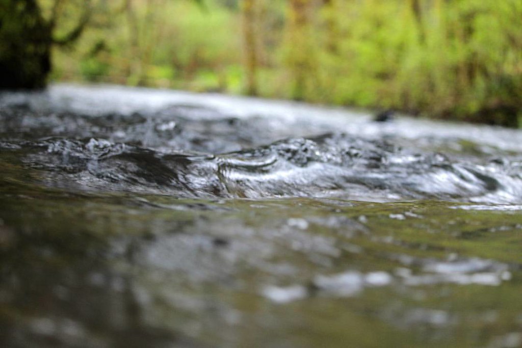 Drury Ridge-B.S.A. TrailHiking · ~28 min drivePhoto: dsgetch, CC BY 2.0 (via Flickr)
- Suzanne Arlie-Dillard PathHiking · ~7 min drivePhoto: Jonathan Lidbeck, CC BY 2.0 (via Wikimedia Commons)
- Spencer Butte Summit TrailHiking · ~11 min drivePhoto: Jonathan Lidbeck, CC BY 2.0 (via Wikimedia Commons)
- Dillard Skyline PathHiking · ~7 min drivePhoto: Jonathan Lidbeck, CC BY 2.0 (via Wikimedia Commons)
Best time to visit Lower Plateau Trail
Best months: June–September. Best months have typical highs of 55–85 °F, lows of 30 °F or warmer (32 °F where the station doesn't record snow), at most one snowy day and no more than 12 wet days.
Jan
47° / 37°
19 wet
Feb
50° / 38°
17 wet
Mar
54° / 40°
19 wet
Apr
59° / 42°
18 wet
May
65° / 47°
14 wet
Jun
71° / 51°
9 wet
Jul
80° / 55°
4 wet
Aug
80° / 54°
4 wet
Sep
74° / 52°
7 wet
Oct
63° / 47°
13 wet
Nov
52° / 42°
18 wet
Dec
46° / 37°
20 wet
Typical high / low (°F) and days with rain or snow, 1991–2020. Measured at Lookout Pt Dam, OR, 12.5 mi away at 712 ft. This station doesn't record snowfall. Source: NOAA NCEI U.S. Climate Normals 1991–2020.
Map and trail data © OpenStreetMap contributors
