Rosebrier Canyon Trail
- 1.9 mi
- round trip
- 1,425 ft
- climb
- 1,682 ft
- high point
- Out and back
- route
- Apr–Oct
- best months
Rosebrier Canyon Trail is a 3.8-mile out-and-back hike on Bureau of Land Management land in the Prineville Central Oregon Field Office, about 1.8 miles from the town of Prineville, Oregon. The route rises from 771 feet to a high point of 1,682 feet, with an elevation gain of 1,425 feet over the course of the hike. The climb is front-loaded, and the steepest stretch comes at about 1.8 miles in, where the grade reaches 15%. The most comfortable months for a visit are typically late spring and early fall. Typical averages from the nearby Moro weather station, at a similar elevation, show May highs around 67°F and September highs around 76°F, with only a few wet days in each month. Midsummer is warmer, with July and August highs near 84°F, and winter brings highs around 40°F. The trip takes about two hours to complete, and the route pairs well with other nearby trails. Ferry Crossing Canyon Trail starts just 0.1 mile away, and Hard Stone Trail, Lost Corral Trail and Sage Steppe Trail all lie within about 8 miles.
Local outfitters
- Imperial River Company32 mi away
Not on Roamze yet. Their page has how to reach them.
- Ferry Crossing Canyon TrailHiking0.1 mi
 Hard Stone TrailHikingPhoto: daveynin, CC BY 2.0 (via Flickr)7 mi
- Lost Corral TrailHikingPhoto: daveynin, CC BY 2.0 (via Flickr)7 mi
- Sage Steppe TrailHiking7.6 mi
- Pinnacles TrailHikingPhoto: daveynin, CC BY 2.0 (via Flickr)7.6 mi
 Esau LoopHikingPhoto: daveynin, CC BY 2.0 (via Flickr)8 mi
Source: Roamze catalog (indexable pages within 10 miles, PostGIS distance)
- Hard Stone TrailHiking · ~12 min drivePhoto: daveynin, CC BY 2.0 (via Flickr)
- Lost Corral TrailHiking · ~12 min drivePhoto: daveynin, CC BY 2.0 (via Flickr)
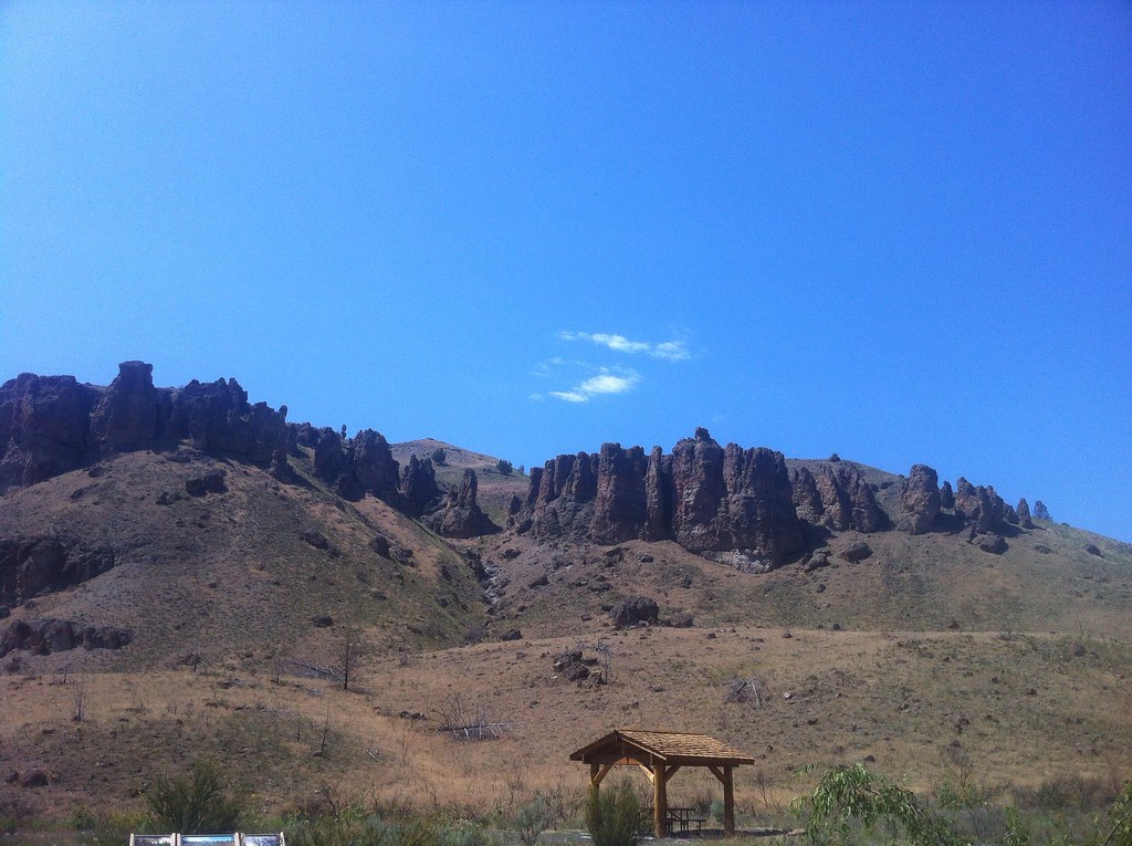 Divide TrailHiking · ~56 min drivePhoto: Francis Storr, CC BY-SA 2.0 (via Flickr)
- Jennies Peak TrailHiking · ~59 min drive
- Esau LoopHiking · ~14 min drivePhoto: daveynin, CC BY 2.0 (via Flickr)
- Pinnacles TrailHiking · ~13 min drivePhoto: daveynin, CC BY 2.0 (via Flickr)
- Deschutes River TrailHiking · ~32 min drive
 Blackberry TrailHiking · ~44 min drivePhoto: mjfmjfmjf, CC BY 2.0 (via Flickr)
- Rock Pile TrailHiking · ~44 min drivePhoto: mjfmjfmjf, CC BY 2.0 (via Flickr)
 Indian Canyon Loop TrailHiking · ~54 min drivePhoto: Steven Pavlov, CC BY-SA 3.0 (via Wikimedia Commons)
Best time to visit Rosebrier Canyon Trail
Best months: April–October. Best months have typical highs of 55–85 °F, lows of 30 °F or warmer (32 °F where the station doesn't record snow), at most one snowy day and no more than 12 wet days.
Jan
40° / 24°
11 wet
Feb
45° / 26°
9 wet
Mar
52° / 30°
10 wet
Apr
59° / 35°
9 wet
May
67° / 42°
7 wet
Jun
74° / 47°
5 wet
Jul
84° / 53°
2 wet
Aug
84° / 53°
2 wet
Sep
76° / 45°
3 wet
Oct
62° / 36°
8 wet
Nov
48° / 29°
11 wet
Dec
39° / 24°
12 wet
Typical high / low (°F) and days with rain or snow, 1991–2020. Measured at Moro, OR, 13.2 mi away at 1,870 ft. This station doesn't record snowfall. Source: NOAA NCEI U.S. Climate Normals 1991–2020.
Map and trail data © OpenStreetMap contributors
